Drone data analytics for construction sites

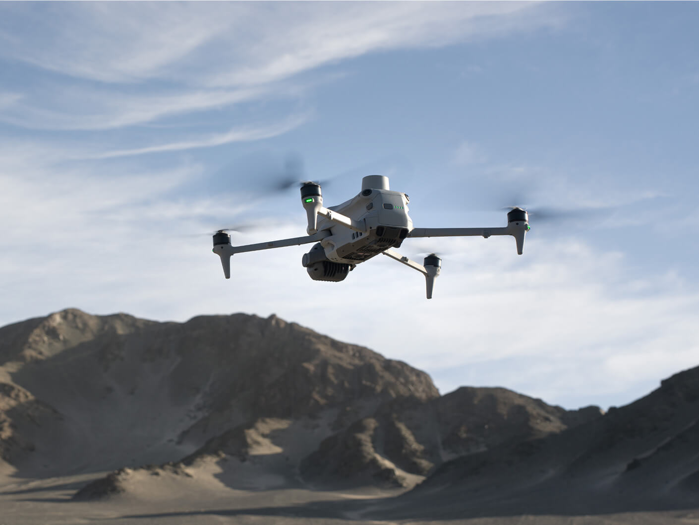
Ready to elevate your construction projects with cutting-edge drone technology? From choosing the ideal drone to integrating aerial data and navigating legal complexities, we’ve got everything you need.

Dive into the world of construction drone surveying by evaluating key factors like camera resolution, battery performance, and software integration to suit your needs. See how drones can boost efficiency, enhance safety, and improve data precision on-site. Learn about our methods for managing aerial data to optimise project results, and get up to speed on the necessary legal requirements, including permissions, certifications, and airspace regulations.

Discover how drone technology can vastly improve the accuracy and speed of site surveys compared to conventional techniques. Contact us today for tailored advice and solutions to address all your drone-related inquiries!

Prefer talking to an expert instead? Contact us.

Worksites powered by Propeller
Users collaborating on the map
People powered by Propeller
Solutions

Designed to solve everyday worksite challenges

map icon

Map and capture

Turn site data into visual insights. Build accurate maps that unify different data sources and document your work from planning to closeout.

measure icon

Measure

Get precise measurements across your site. From distances and volumes to heights and grades, measure exactly what matters.

track icon

Track

Monitor progress and know your position. See trends, identify issues, and ensure your projects stay on track.

organize icon

Organize

Streamline your workflows. Keep projects tidy, permissions secure, and data easy to access when and where you need it.

plan ahead icon

Plan ahead

Stay ahead of site challenges. Analyze flow, elevation, and runoff to predict outcomes and make smarter decisions.

collaborate icon

Collaborate

Bring your teams together. Share data, reports, and visuals that connect the field to the office, keeping everyone aligned.

Propeller’s end-to-end mapping workflow

A full-integrated solution that helps your people do their best work.

Propeller visualized across 3 platforms

Propeller

Make the map a meeting ground where your project teams can access critical insights on their own

  • Anywhere, any device access
  • Interactive 3D survey experience
  • Simple reporting + analytics templates
  • Surface comparisons + conformance checks
  • Flexible data integrations
  • Centralized media + 360 photos
  • Real-time team collaboration
  • Single-time sign-in
close up of an aeropoint

AeroPoints

Manage AeroPoints usage, monitor hardware health, and run accuracy diagnostics from a personalized dashboard.

  • Accuracy reports + verification
  • Real-time diagnostics
  • Survey management
  • Complete flight history
  • Expansive library of how-to articles
  • On-demand hardware support
Propeller DirtMate being held by a construction worker

DirtMate

Production teams use the DirtMate Dashboard to track daily volumes and access productivity insights.

  • 2D cut-fill heatmaps
  • Survey-grade surfaces
  • Machine haul road metrics + cycle counts
  • Daily machine utilization metrics
  • Automatic data corrections
  • Real-time machine locations
  • Customizable reporting dashboards
DJI M4E flying

Survey processing

Scale up at your own pace, without adding resources, Just drag and drop your dataset into Propeller, and we’ll send back a high-accuracy 3D map in return.

  • One-click drag + drop
  • CRS database with 5,000+ systems
  • Local CRS setup + support
  • Personalized QA criteria
  • Data pre-checks to ensure accuracy
  • Quality reports on blur, contrast, and ISO
  • Seamless AeroPoints integration
  • Custom output configuration