Even the best data is only as good as your ability to use it. And when you’re not used to having a wealth of information at your fingertips, it can feel a little overwhelming to learn how to use it properly. “Information overload” describes the analysis paralysis that happens when you have too much data. As it turns out, too much can be just as bad as too little—especially if you don’t have time to pick out the most valuable information when you need it.
But don’t let technical jargon like “drone photogrammetry” fool you. While we know that some customers like to nerd out with us on what’s happening behind the scenes, most of our users don’t want to dig into the science—or the databases—to use their drone survey data effectively.
That’s why Propeller makes it easy to find the information you need, when you need it—no technical jargon required.
Here are four ways to make good use of your drone survey data without getting lost in data overwhelm.

#1: Let someone else do the processing
Self-processing drone survey data can quickly become a heavy burden on resources, time, and budget.
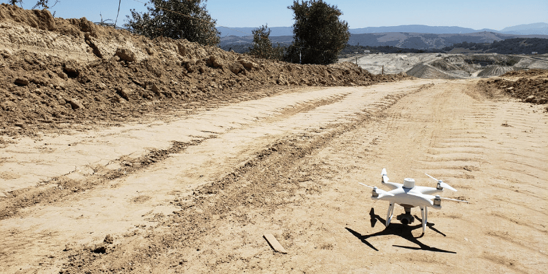
Imagine that you’ve decided to collect survey data using drones and process the data yourself. You’ll need self-processing software with enough processing power in your hardware to support enormous datasets (think millions of data points).
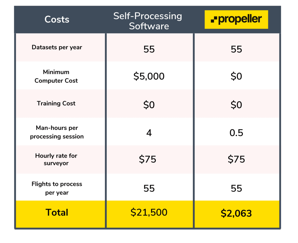
Add to that the technical know-how and specialized training required to run this kind of software. If you’re paying a qualified surveyor to spend roughly four hours processing data with every survey, that information gets expensive fast.
We’ve estimated that 55 datasets per year (a conservative estimate for a large construction company) would cost about $21,000 for processing alone—and that doesn’t even include the cost of a software license!
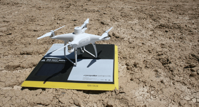
That’s why Propeller does the heavy lifting for you within 24 hours of your flight. Simply upload your data to the Propeller Platform, and we’ll take it from there.
Outsourcing your construction data processing to the experts has numerous benefits:
- Avoid data security concerns
- Save time and money (we estimate a savings of 24 workdays per year)
- No expensive licensing or training
Your site data is returned reliably within 24 hours of your most recent flight, every time. No processing burden necessary—just a usable 3D map that helps you measure stockpile volume, track progress, and allocate resources with ease.
#2: The simpler, the better
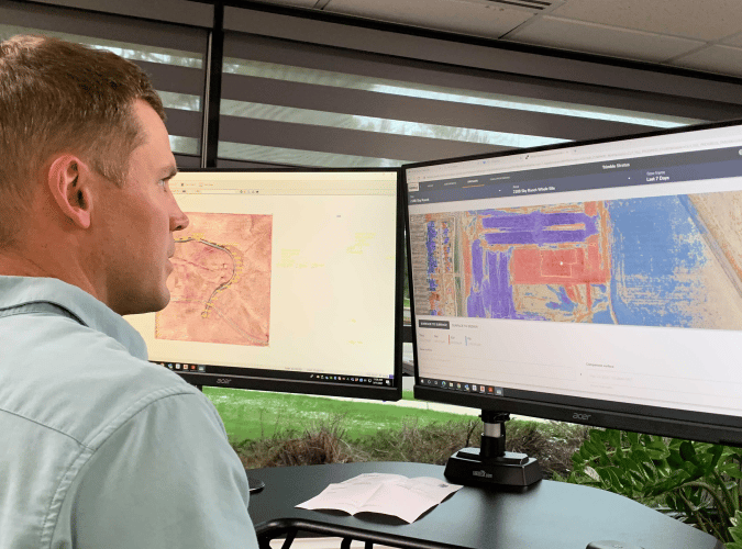
When you outsource your data processing, most of your team won’t ever need to set eyes on a raw dataset. Research has shown that simple user interfaces are the most effective, which is why we’ve developed Propeller with a customer-first approach.
Propeller’s easy and intuitive dashboard uses simple point-and-click functionality to navigate a 3D map of your worksite as it looked when you last flew. Our Timeline feature enables you to walk back through time to track site progress with just a few clicks.
If your software platform is difficult to use, people will find ways to avoid it. No one wants to feel like they need to spend extra time learning a complicated tool just to get the information required to do their jobs well.
Save time and increase adoption with a user-friendly platform that doesn’t require extensive training to get started.

#3: Keep it in the cloud
AGC’s 2021 Construction Hiring and Business Outlook Report reveals that nearly 70% of contractors use cloud-based software for daily reporting. And for good reason—when you’re working with literally millions of data points, most contractors don’t have the hardware or the software to manage it all. (Or the desire to manage the upkeep of a database that size.)
Storing your construction data in the cloud has numerous benefits:
- It’s accessible anywhere, often without an Internet connection
- No expensive software or hardware necessary
- You’ll improve with easy access to shared data
Which leads us to …
#4: Manage communication and visibility
Some studies suggest that up to 96% of engineering and construction data goes unused. Delayed notifications, lack of clarity, and misunderstanding what the data shows all contribute to ignoring most of the available data.
Too much data overcomplicates projects, especially if field teams have to pick their way through the information they don’t need to find the information they do. Valuable time and energy go to waste, and teams can get discouraged from using the helpful information at their disposal if it’s too hard to find.
Propeller’s View-Only Mode helps eliminate overwhelm and streamline communication by limiting what people can see. Show your team, subcontractors, or clients only what they need to see—like the most recent site maps—and hide the information that isn’t relevant to them.
Tools like Propeller connect users quickly and efficiently with the information they need most, without overcomplicating the process or drawing teams in too much data.