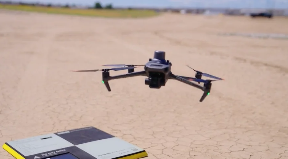
Today, more and more earthworks companies are making construction tech a part of their everyday business practices. Effectively tracking return on investment (ROI) is something you’re probably already doing in most areas of your business, from optimizing labor to asset management. But are you unsure about how to determine ROI for adopting a drone surveying program?
Understanding exactly how drone surveying impacts your bottom line is important. Here are two practical examples of how you can calculate your unique ROI for drone surveying:
- Traditional Surveying vs Drone Surveying
- Impact of Quantity Variance
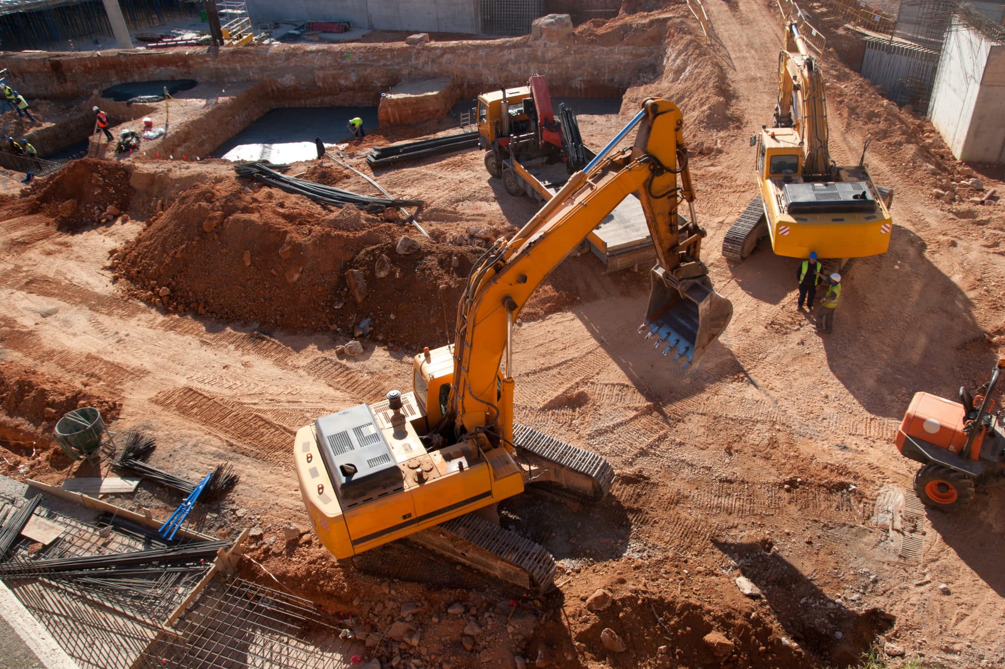
Traditional Surveying vs Drone Surveying
To obtain a basic ROI, let’s assume you have ten, 120-acre sites that you need to survey five times a year. For this example, we’ll set the cost of both traditional and drone surveying at $100 per hour.
| Traditional Surveying | Drone Surveying |
| Traditional Survey Capacity: 5 acres per hour 120 acre site/5 acres per hour = 24 hours 24 hours x $100 per hour = $2400 per survey |
Drone Survey Capacity: 100 acres per hour 120 acre site/100 acres per hour = 1.2 hours 1.2 hours x $100 per hour = $120 per survey |
| If you want to survey 10 sites, 5 times a year, traditional surveying can cost you: up to $2400 per survey x 10 sites x 5 times a year = $120,000 total yearly surveying costs |
If you want to survey 10 sites, 5 times a year, drone surveying can cost you: up to $120 per survey x 10 sites x 5 times a year = $6,000 total yearly surveying costs |
Surveying with drones can provide you a net savings of $114,000 annually!
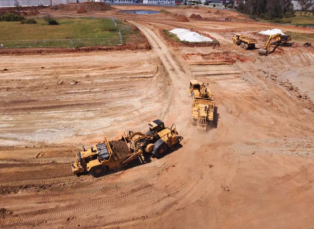
Impact of Quantity Variances
Cost per cubic yard moved is unique to earthworks. For this example, we’ll take an average number of $5.00 per cubic yard of dirt moved.
On average you can observe a 5% quantity variance between drone surveys and more traditional survey methods or truck counts, which both involve a significant amount of interpolation (an estimate or assumption). Data collected by a drone is far more dense and involves almost no interpolation. This generates an overall more precise survey and reduces quantity variances.
Now, let’s take a look at the cost associated with a 5% variance with traditional surveying, compared with a 3% or 1% variance through drone surveying.
| 5% Quantity Variance Common Average with Traditional Surveying | 3% Quantity Variance with Drone Surveying | 1% Quantity Variance with Drone Surveying |
| $5.00 per cubic yard moved x 250,000 average quantity moved per year x 5% quantity variance = $62,500 cost associated with variance |
$5.00 per cubic yard moved x 250,000 average quantity moved per year x 3% quantity variance = $37,500 cost associated with variance | $5.00 per cubic yard moved x 250,000 average quantity moved per year x 1% quantity variance = $12,500 cost associated with variance |
Using this calculation, shifting away from traditional surveying could net your business a savings of $25,000 – 50,000