Propeller data, ready for InSite Elevation 3D
InSite Elevation 3D supports CAD, DXF, and PDF file imports. Propeller exports all of them, so your high-precision site data flows into InSite without a manual rebuild.

What you can do
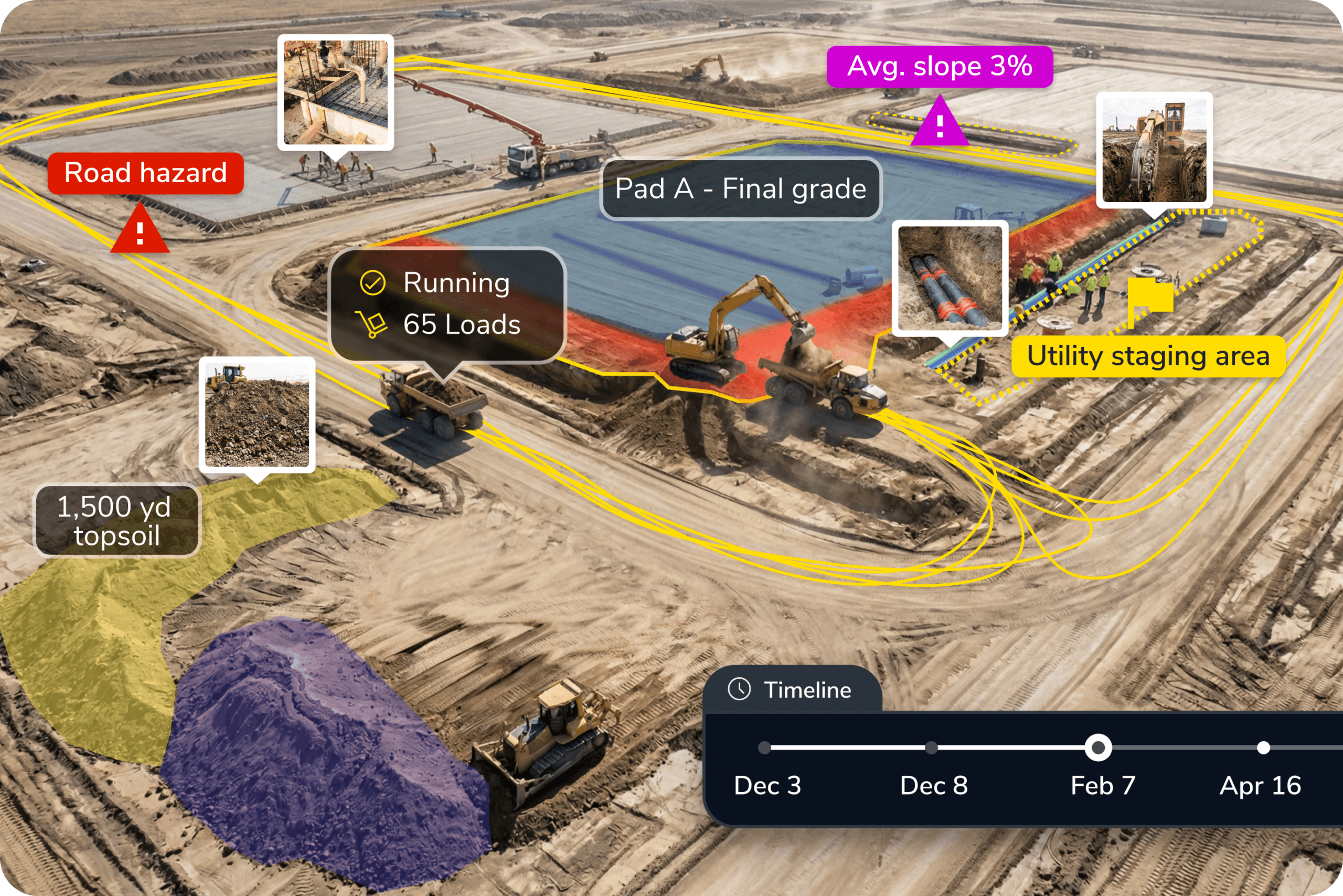
Export DXF files and PDF site maps from Propeller and bring them into InSite Elevation 3D for grade checking, quantity takeoff, and design comparison. Measured terrain data from Propeller becomes a usable input in InSite without extra conversion steps.
Measured data in, accurate takeoffs out. No extra conversion step. Formats InSite already accepts.
Ready to learn more?
Request a demo to understand how you can integrate Propeller into your current instance of InSite Elevation or how to implement the both into your current business.