
Combine your drone and ground surveys in Propeller
If you’ve ever found yourself waiting (im)patiently for volume reports, or trying to piece together…
Replace tool switching and data silos for a single ground truth. Propeller’s the only map that brings all your plans, field data, and people together in real time — no drone required. Keep using the tools you know, all in one place.
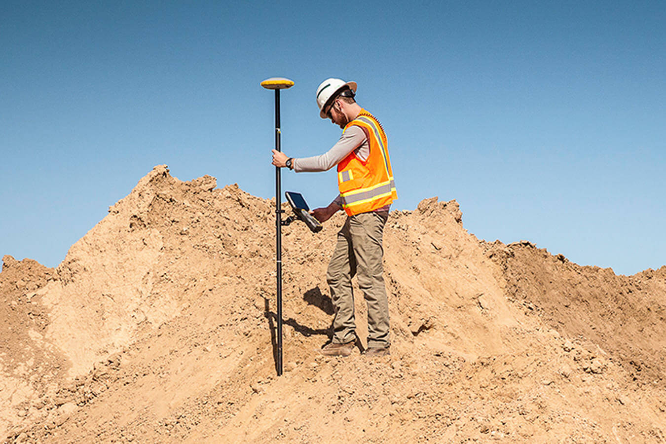
Upload rover or total station surveys as TIN surfaces to capture critical site details, even if they only cover select areas.
Whether it’s resource constraints, site priorities, or limited coverage needs, a GPS rover allows you to track surfaces daily, as needed—giving you flexibility without sacrificing data.

Bid with confidence by verifying site conditions ahead of time, even on vegetated sites. Capture accurate ground elevations where drone photogrammetry falls short, helping you avoid costly surprises.
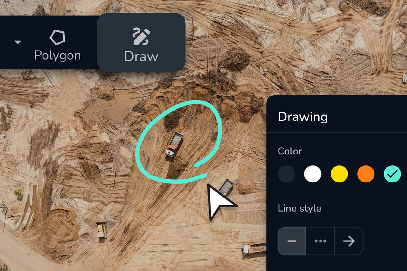
Markup lets you draw, annotate, and customize your map directly in Propeller. Whether you’re sketching plans or highlighting key details, you now have the tools to communicate clearly and keep your team aligned.
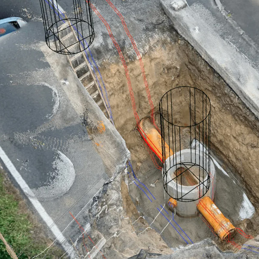
By combining aerial photogrammetry with ground-level surveys, you get a complete and accurate surface model—no blind spots.

Upload CSV files directly from your field equipment into Propeller, skipping CAD conversions and getting your data mapped and ready to use in minutes.
“All project stakeholders can access the centrally available 3D scans anytime. They’re particularly excited about the intuitive nature of the platform, which allows for quick and straightforward measurements. Every time I present the data on a computer, the combination of precision and user-friendliness generates excitement.”
– Hannes Schlottag, Equipment Operator and BIM Coordinator at REIF


Get to know the map and turn your project into insights with our 14-day free trial.