Centralizing survey data for better collaboration: How REIF uses viDoc, drones & Propeller to boost efficiency
About the project
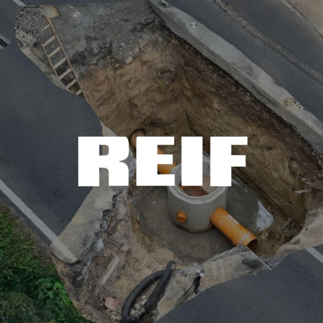
viDoc and Propeller are tools that revolutionize how surveying and data management are done on construction sites. viDoc is a handheld, high-precision scanning device that pairs with a smartphone to capture detailed 3D data directly on-site. Propeller is a geospatial platform that processes and centralizes survey data – such as point clouds, orthophotos, and 3D models – making it accessible to entire teams. Together, they provide an efficient, easy-to-use solution for both large-scale and ad-hoc measurements, reducing manual tasks and improving overall collaboration.
REIF Baugesellschaft, a leading provider of horizontal civil and road construction services, has long embraced technology to streamline operations. Hannes Schlottag, with nearly 20 years of experience as an equipment operator and BIM coordinator, has been pivotal in the company’s digital transformation. The integration of viDoc and Propeller into REIF’s workflow has not only simplified Schlottag’s daily tasks but has also significantly enhanced the efficiency of the entire project team.
“Previously, many tasks on-site had to be done manually. Now, with viDoc and Propeller, we complete those tasks in a fraction of the time, and it’s incredibly easy to use,” says Schlottag.
Overcoming challenges with innovative technology

REIF adopted viDoc and Propeller to address persistent challenges in its data management and surveying processes. Before their integration, Reif struggled with:
- Data inconsistencies: Different tools and methods led to fragmented and unreliable data.
- Time-consuming retrieval: Survey data was stored across personal devices and local servers, making it difficult and slow to access.
- Collaboration challenges: Decentralized storage made it hard to share up-to-date information with team members, leading to miscommunication and delays.
- Risk of information loss: Storing data on individual devices increased the chance of losing critical information, while historical data was often unavailable to resolve disputes or issues.
Recognizing the inefficiencies, REIF implemented Propeller as a centralized hub for geospatial data and viDoc for quick, on-site surveys. Schlottag reflects: “Our biggest challenge was that various departments were generating data with different tools, which were then stored in a decentralized manner. With viDoc and Propeller, we consolidated these processes and centralized all data on a single platform.”
By adopting this seamless solution, REIF Baugesellschaft not only resolved long-standing inefficiencies but also set a new standard for precision and collaboration across its projects.
REIF had already integrated drone surveying with Propeller into their workflow, achieving significant improvements in project efficiency and accuracy. After years of success with this approach, their reseller G-Tec Positioning recommended viDoc as a complementary tool for quick scans of smaller areas. The REIF team quickly recognized the potential of the technology.
Propeller serves as a centralized geospatial data hub, providing all team members with seamless access to survey information. The viDOC, a highly accurate handheld scanner that pairs with a smartphone, enables on-site surveys with ease. The user uploads the survey data, which is then automatically processed by the Propeller team. Once completed, the platform delivers detailed outputs, including point clouds, 3D models, and orthophotos, ready for use within the Propeller platform. Schlottag aptly puts it: “With viDoc, we essentially have a surveying device in our pocket, ready to use anytime.”
A seamless workflow for maximum efficiency

REIF’s typical workflow illustrates how seamlessly viDoc and Propeller work together. “Our surveyors are often on-site and need to document terrain quickly and accurately. With viDoc, they can do this directly through their smartphones – fast, simple, and precise,” says Schlottag.
While drones cover larger areas, viDoc shines in its flexibility and spontaneity. “viDoc and a smartphone are always within reach. For smaller scans or ad-hoc measurements, it’s unbeatable. No lengthy setup, no complicated configurations – just scan, and the data is ready,” Schlottag adds.
Results with enthusiasm

The benefits of viDoc and Propeller are clear:
- Time savings: The rapid capture and processing capabilities significantly reduce the time required for surveys, making projects much more efficient.
- Ease of use: Even less experienced team members or student interns can perform helpful surveys with ease.
- Centralization: All data is stored in one location, easily accessible to the entire team. Most questions can be answered with a quick glance at the Propeller platform.
- Precision: With accuracy up to 3 cm, even demanding requirements are met effortlessly.
“It’s impressive how accurate the results are. All project stakeholders can access the centrally available 3D scans anytime. They’re particularly excited about the intuitive nature of the platform, which allows for quick and straightforward measurements. Every time I present the data on a computer, the combination of precision and user-friendliness generates excitement,” Schlottag shares.
Looking ahead
REIF Baugesellschaft now uses viDoc and Propeller daily – whether for cost calculations, billing, or spontaneous measurements. “For us, this combination is indispensable. We’ll continue to use both in parallel – the drone for large-scale surveys and ViDoc for quick, everyday scans,” Schlottag concludes.
For companies considering viDoc and Propeller, Schlottag offers clear advice: “Just test it! The collaboration with Propeller and viDoc has been fantastic – support is always available, and the results speak for themselves.”
Want to know how Propeller can help you?
Learn more about Propeller’s products, pricing, and how to get started on your site.
You might also like

Cross Section Survey in a Matter of Minutes Using Drone Data

How to Use Drone Data to Improve Landfill Performance
