The power of unified insights: Connecting people, plans, and field data with one map
A lunch and learn with AGC Florida East Coast Chapter
Tuesday, May 6
11:30 AM – 1:30 PM ET
515 N Flagler Drive, Bridge Level Conference Room A
West Palm Beach, FL 33401
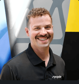
Join Richard Murphy, Propeller Account Executive and AGC FL East Coast member, to discover how 3D maps are transforming construction project management by bringing together drone and ground-based surveys, designs, and people in one centralized platform.
Your registration includes lunch and access to this hands-on session. Spots are limited—register now!
Session details:
Historically, project data has been fragmented across multiple software systems, often siloed within specific OEM ecosystems. As data capture methods—such as live point capture, machine mapping, and drones—continue to evolve, construction teams are adopting more tools than ever. However, the true power lies in integrating these tools.
This session will explore how 3D maps enable real-time site monitoring, streamline workflows between field and office teams, and ultimately deliver greater predictability—driving better project performance across the entire project lifecycle.
What you’ll learn:
- How to unify reality capture technologies, such as drones, machine mapping, and live point capture, to create a real-time, interactive map of your jobsite
- How real-time insights and project analysis can drive better decision making and transparency across the entire project lifecycle–from planning and preconstruction to project closeout and maintenance
- How contractors are using Propeller’s PPK workflow, with AeroPoints and outsourced data processing, to scale their survey operations