Propeller A single, cloud-powered map that brings your plans, data, and team together Map Measure + manage
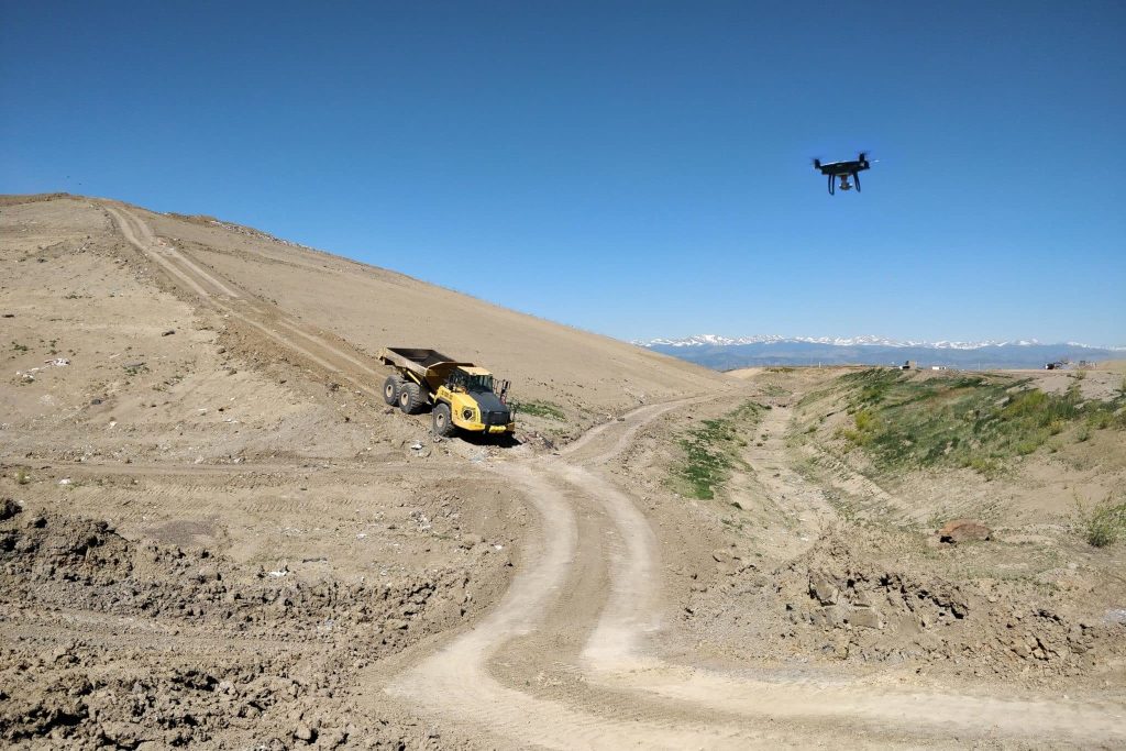
DirtMate Real-time machine guidance for precise, efficient earthmoving AeroPoints High-accuracy ground points for faster, reliable surveys Hardware integrations Connect Propeller with your existing tools seamlessly
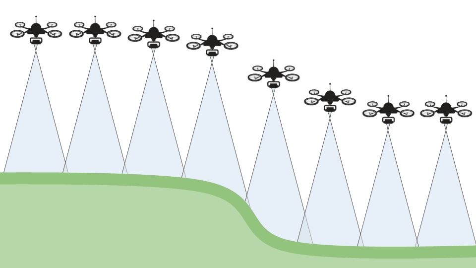
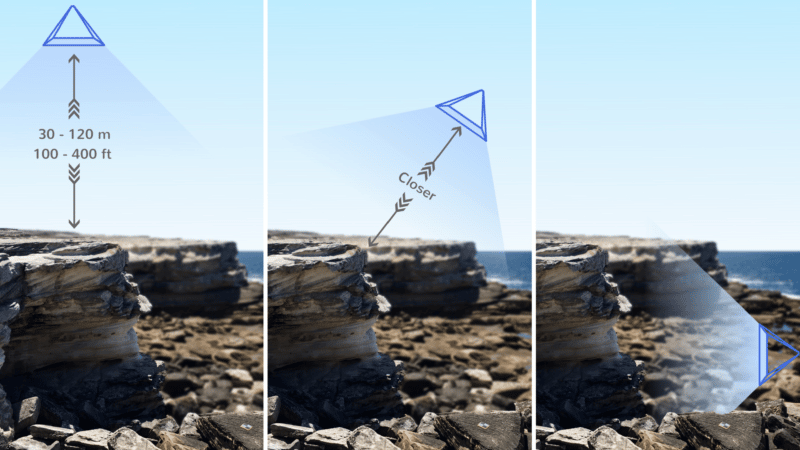
Propeller PPK Survey-grade positioning for trusted drone measurements Photogrammetry Turn aerial images into detailed 3D maps LiDAR Capture precise, high-density data for any terrain
Propeller A single, cloud-powered map that brings your plans, data, and team together
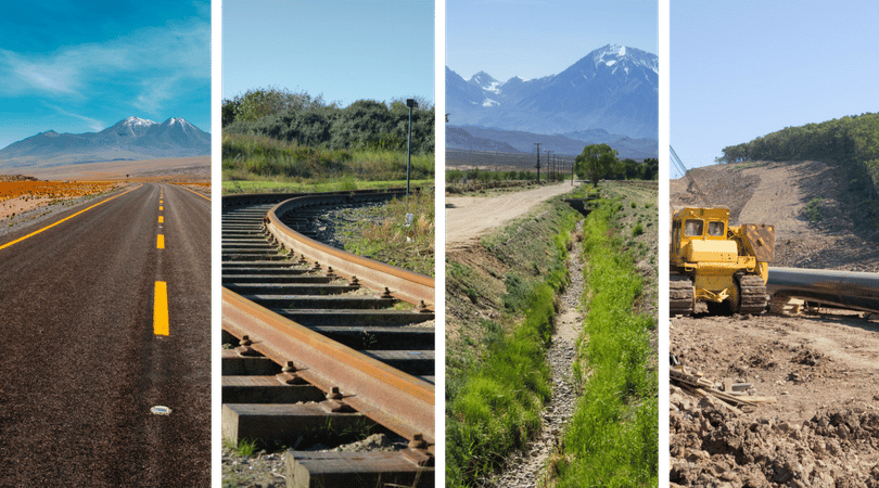
Construction Mining Aggregates Waste management Survey + engineering
Site checks + analytics Volume calculations Progress tracking Machine telematics Field communication + collaboration Subcontractor management Machine productivity
Community Training + support
Blog Knowledge Base
Careers About Us