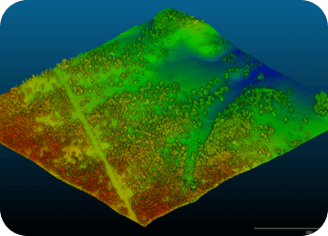
When the original ground topo is wrong, your margin is already at risk. Propeller gives your team a high-accuracy LiDAR map of existing ground, helping estimators bid tighter, PMs validate conditions early, and owners reduce risk before work begins.












One bad assumption can wreck your margin

Remove the fluff
Unknowns force even the best teams to over-protect bids, shrinking your competitiveness before the job starts.

50,000-yard busts
Stale basemaps and outdated contours lead to import vs. export discrepancies that blow up production plans and skyrocket haul-off costs.

Indefensible change orders
Missing or inaccurate site maps make it hard to defend against quantity disputes and original ground discrepancies, leaving your team scrambling for documentation or absorbing cost differences you can’t prove.
Pre-construction topographic surveys
Verify ground before production ramps
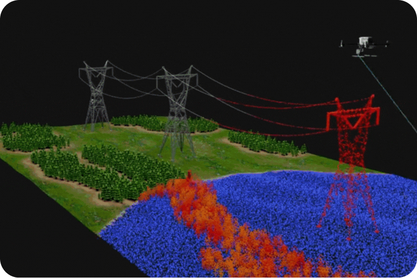
Tree canopy can hide the true shape and cost of a site. Propeller digitally removes vegetation from survey visuals to create a trustworthy “bare earth” model, so teams can validate quantities and surface risks after award, before equipment and crews mobilize. You can also use it pre-bid to strengthen quantity confidence before committing to a price.
- Fly an accurate topo in minutes, not days
- Replace fluff quantities with high-precision reports
Post-clearing verification
Your first defense against profit fade
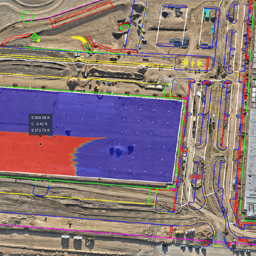
The moment the trees are cleared, the clock starts. A quick post-clearing verification survey establishes the true starting baseline. Compare this instantly against the design surface to spot engineering discrepancies before you move dirt.
- Immediately identify inconsistencies between site plans and current conditions
- Secure visual evidence to prove change orders
Accurate surveys in three simple steps

Capture
Work with your capture method of choice, then layer in AeroPoints for survey-grade control

Upload
Drag and drop your files into the Propeller Platform and we’ll handle the heavy data processing in a few hours

Analyze
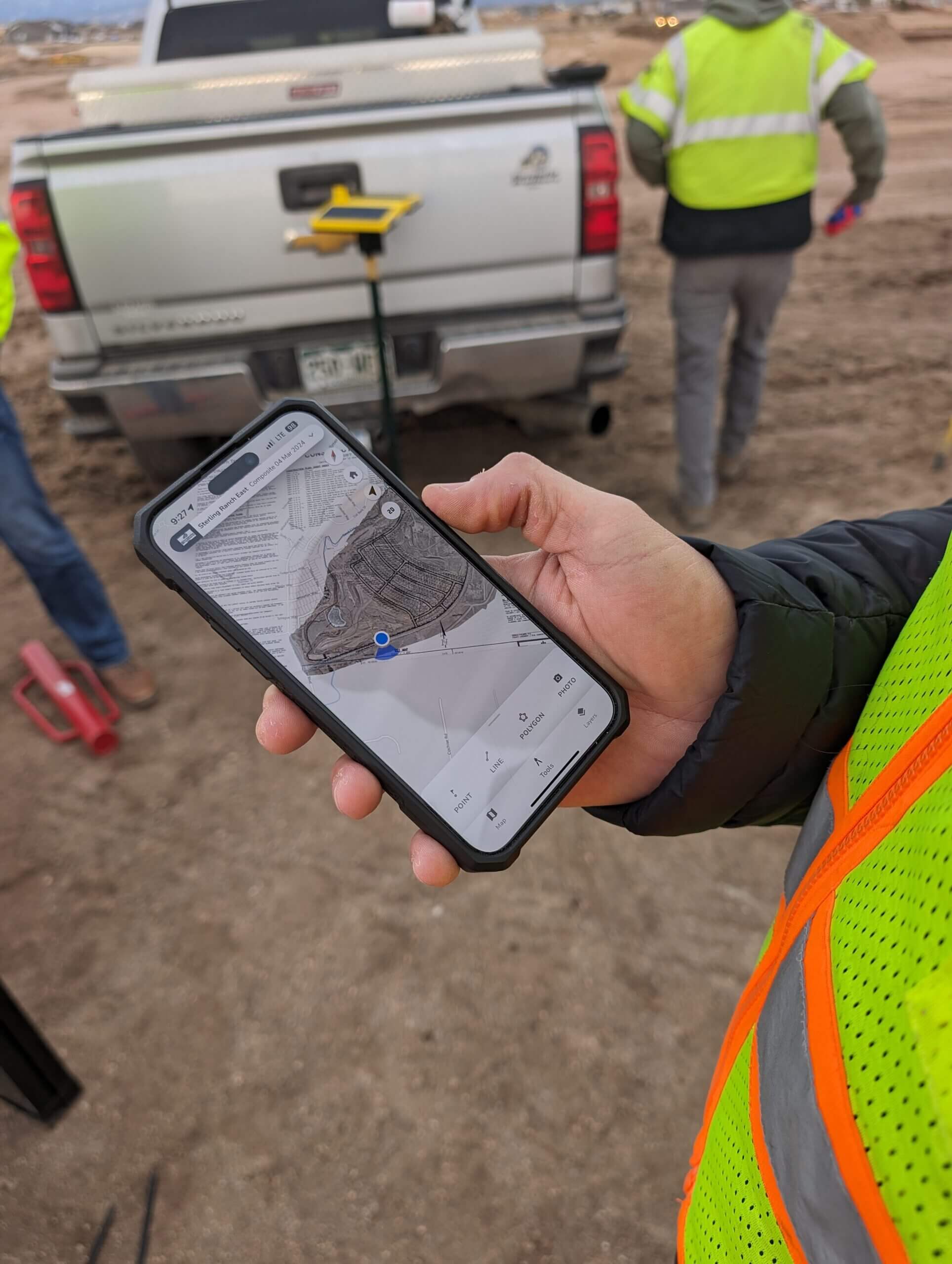
Get a collaborative 3D map to measure quantities, verify original ground, and more from one place
One platform
for the whole team
Stop the arguments
When you find a discrepancy, you have access to irrefutable, timestamped 3D data to prove change orders to the owner or general contractor.
Protect the bottom line
Prevent profit fade by starting with verified original ground and ending with indisputable billing.

Price with certainty
Eliminate blind spots from PDFs, vegetation, and outdated plans so you can price work accurately, win more bids, and protect your margin.