On a busy worksite, timing is everything. The difference of just a few minutes in cycle times adds up, which can affect a project’s completion date and budget. Superintendents and project managers have a vested interest in ensuring that every step of a project is optimized. Read on to learn how to use drone surveys and machine tracking to keep your worksites running smoothly and efficiently.
Get the data
A large quantity of data can be overwhelming, but you can’t improve your site operations without a deep understanding of your starting point—and that means gathering data.
Drone surveys create a complete 3D picture of your worksite every time you fly. You get a snapshot of where your equipment is working, how the project is progressing toward design, and how much work is left to go.
In the Propeller Platform, your drone survey data is tied to orthophotos of your site, so you only need to point and click to obtain volume measurements, elevations, distances, and other essential data. You can even move backward and forward through all your surveys to see how a project has progressed over time.
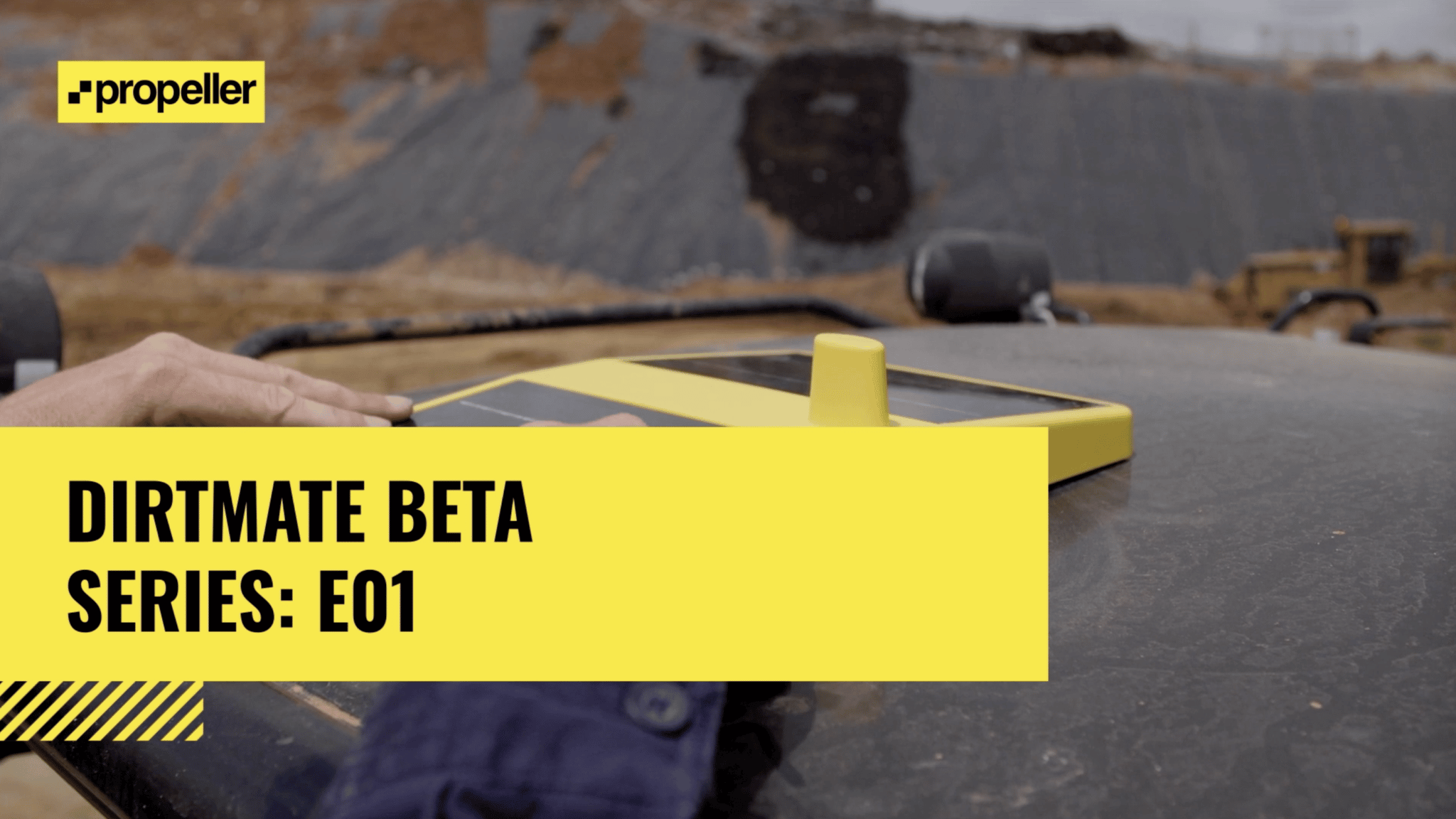
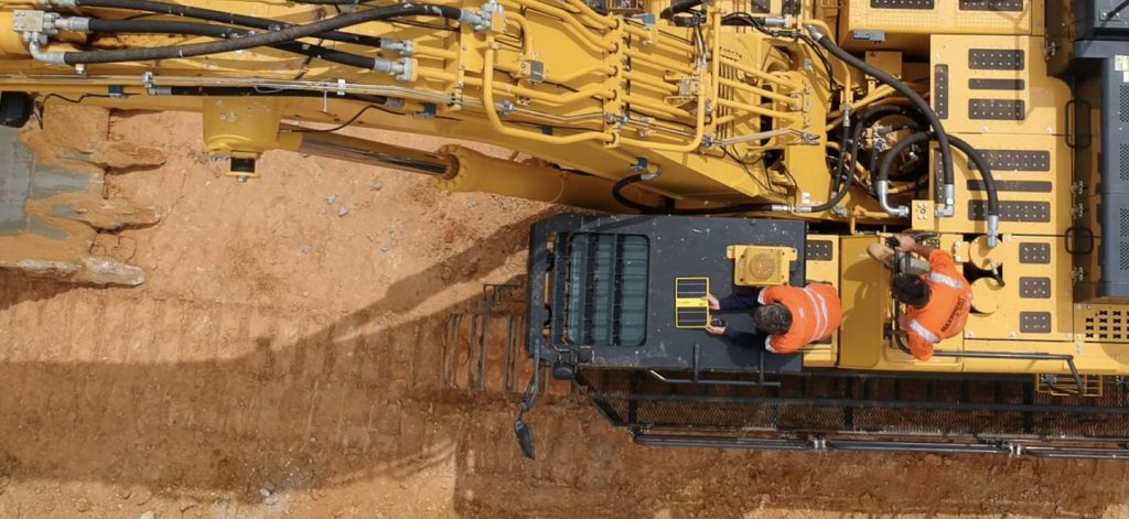
DirtMate takes this technology a step further with up-to-date project data gathered by your machines as you work. Attach DirtMate devices to your equipment for near realtime elevation and inertial measurements.
Conduct a review
Now that you have the information you need, it’s time to put your data to work.
Good data analysis requires looking beyond the site images. Valuable worksite data points like daily volumes are still just numbers. They don’t reveal the “why” behind your daily productivity without a bit more digging.
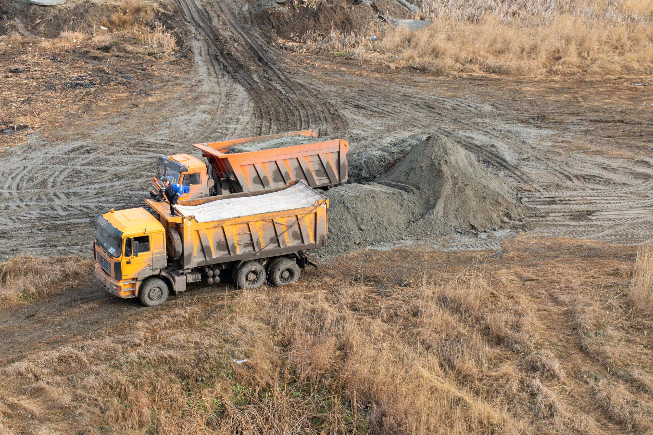
For example, twice-hourly updates from DirtMate make it possible to create a digital playback of each day on your worksite. Almost in real time, you can see how much material is moving, where your equipment is located, and how well your traffic patterns are flowing.
DirtMate tracks machine idle time and GPS locations to create a heatmap showing where equipment is moving easily and where traffic slows or comes to a stop. Project managers can review these traffic patterns and identify pinch points, re-routing equipment and improving cycle speeds to keep a project on track. With a full picture of on-site operations—plus essential data about load times—project managers can determine if equipment is being allocated properly or if it’s creating a bottleneck.
When you know why your load volumes and cycle times look the way they do, you can take steps to improve them and make your traffic patterns more efficient.
The benefits of project optimization
Optimizing your worksite traffic patterns with DirtMate provides other valuable benefits for your business.
- Worksite safety: Worksite traffic can be dangerous for workers on the ground, especially if they’re navigating around heavy equipment on foot. Optimized traffic patterns keep workers safe because traffic flows smoothly along a regular route, without unnecessary pinch points or workarounds.
- Improved communication: Keep all stakeholders informed and show how your project is progressing with easy cloud-based access to up-to-date project information.
- Resolve disputes: Disputes are inevitable, but they’re more easily managed when you’re equipped with the right data. While drones provide visual evidence and tracking over long periods, DirtMate fills in the gaps with daily progress tracking to build a complete picture.