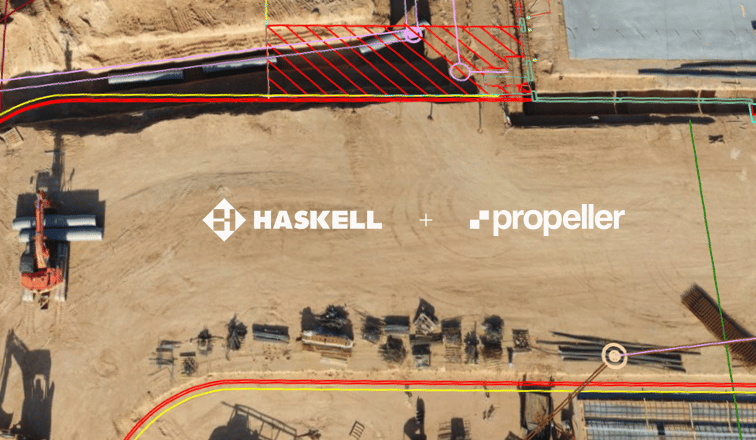
Initiating a drone survey program opens the door to a diverse set of data outputs and use cases that naturally fit into your existing workflow.
From a single drone flight, you’ll have all the data you need to use an orthophoto as a visual reference of current progress on site, perform measurements with a 3D model, or export an elevation model or point cloud to use with third-party software
Below, we’ll define each of these deliverables, explain what file types they can be exported in, and how surveying and technology professionals generally use them.
Lendlease, The Northern Road Stage 3, is a complex road reconstruction project underway in Sydney. It involves adding lanes to existing roads, replacing a bridge over a major roadway, and installing traffic lights, retaining walls, and other features.
In a project like this where you’re synchronizing so many moving parts, fluid communication between the office and the field and well-defined processes make all the difference.
That’s why Lendlease, The Northern Road Stage 3 adopted Propeller’s new mobile maps add-on, Crew.
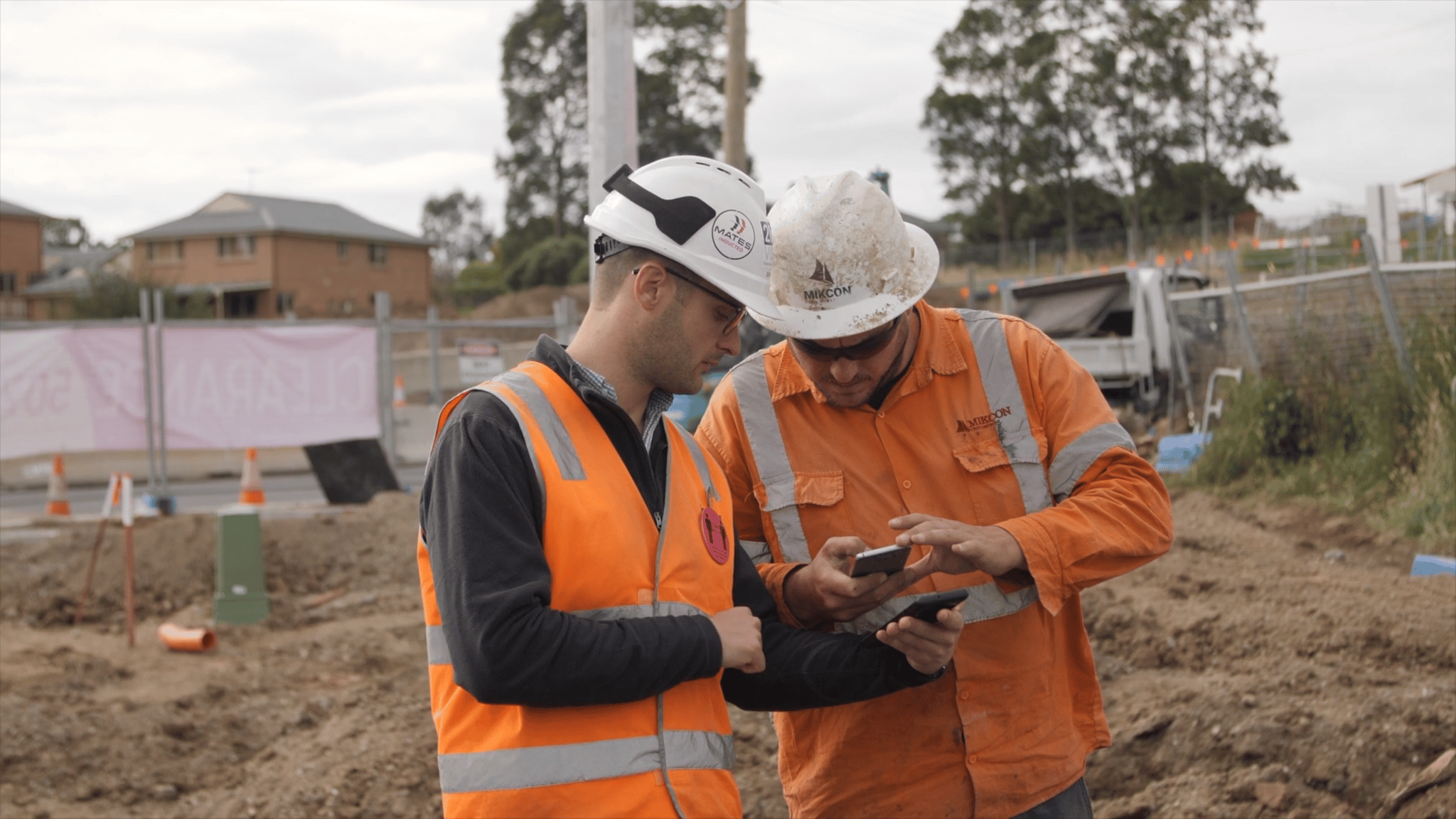
We recently checked in with Wayne Vella, senior project engineer and Sean Joseph, utility engineer, to see how Propeller and Crew are helping them get work done faster and more efficiently.
What were the major pain points in this project?
- The suburban area where The Northern Road Stage 3 project is taking place is dense with utilities. Lendlease is planning work around electrical lines that feed a major hospital, a “backbone” of phone lines within close proximity to a substation, and water lines that supply the entire town. In other words, the risk of utility strikes is high.
- To keep the project running smoothly, Joseph and Vella realized they needed a better way of sharing up-to-date plans and the locations of utilities with everyone on site, regardless of their location.
- Joseph, the utility engineer for the project, had become the bottleneck for information on site. All requested maps, models, and measurements needed to be generated and shared by him.
How Crew Bridged the Communication Gap
Crew gives office teams the ability to generate and share aerial, interactive maps of worksites with professionals in the field. Using Crew, Joseph and Vella can send one-off links designed for mobile viewing to as many members of their own crew as they need to.
Previously, they relied on printed plans, which take more time and technical knowledge to produce, quickly became outdated, and are more cumbersome to transport.
Crew not only gives Joseph and Vella a more efficient tool to deliver plans to their field teams, but also gives those on site a more convenient way to view and understand those plans.
“It’s not just a piece of paper that gets crumpled up. We work in an environment now where everyone has a smartphone. The information is in their pocket and there’s no real excuse if they don’t use it. — Sean Joseph, utility engineer at Lendlease
Mobilizing maps to work smarter and hazard free
Without real visibility on the many utilities they had to work around, on-site teams were working partially blind. They needed a better way to understand the lay of the land to avoid strikes and keep operations moving at pace.
Thanks to design overlays, site teams now have a tool to help them see exactly where utilities are, and, using Crew’s GPS capabilities, where they stand in relation to them.
Crew maps can be customized to include design files, linework, and more contextual information, depending on the intended user’s specific role. The mobile user also has the power to turn these layers on and off, helping them hone in on the information they need in the moment and ignore the rest.
In addition, anyone with access to a Crew map’s link can annotate the mobile map in real time, leaving mark-ups and notes for others to see and respond to.
Being able to send highly accurate maps with annotated plans and design layers to their field teams’ phones, means Joseph and Vella are supplying everyone with more relevant, actionable information than they had access to before.
“We’re able to, almost in real time, communicate something that we’ve got in our heads to the heads of those people standing out on site.” – Wayne Vella, Senior Project Engineer at Lendlease
What Crew features are they using?
- QR codes – Can be accessed by anyone to direct them a Crew map
- Drawing tool – Allows anyone to annotate or mark up a map
- Overlays – Designs, utility line locations, and more can be turned on and off
Propeller’s Lasting Impact
Improvements to cross-site communication are only the tip of the iceberg for Lendlease—the direct result of a much greater drone surveying workflow.
In particular, having Propeller turn drone-collected survey data into accurate, realistic 3D models of their site has saved their surveying team time they were previously using creating their own models in CAD platforms.
“Propeller has definitely been there to help me. They’ve tried to understand my problems and how I think they could make the product better” — Sean Joseph, utility engineer
The Propeller Platform has also given Sean a way to keep managers and other stakeholders informed, so that he no longer serves as a roadblock to the essential measurements and data. Anyone with access to the platform is able to log on and get the information themselves without checking in with him.
Where’s the ROI?
- By arming on-site teams with the knowledge they need to do their jobs correctly, they are able to do their work more quickly, with improved accuracy.
- Having visibility on linework at all times enables them avoid utility strikes, saving money in repairs and rework.
- With data more accessible to everyone in the company, office personnel like Joseph and the surveying team are able to spend less time fulfilling data requests gaps and more time performing other tasks.