![]()
Drones + progress tracking software = the easy button
Drone survey data is just one piece of the progress-tracking puzzle. 3D mapping and analytics platforms like Propeller help make sense of that data with interactive visualizations you can measure and manage with survey-grade accuracy.
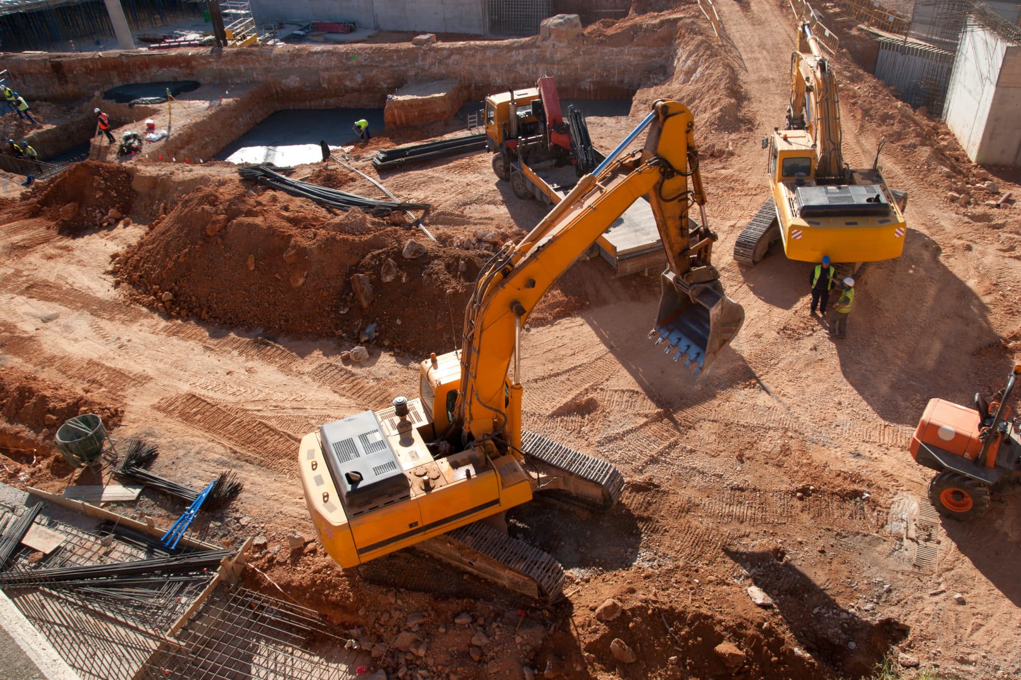
For example, civil contractors are paid by the amount of material moved to or from a worksite. Tracking that material movement can be challenging when you’re relying on monthly surveys, which are time-consuming, expensive, and too slow to capture the rapid changes on an active worksite.
Drone surveys have put regular progress tracking in reach for on-site teams. With flight times as short as ten minutes and data processing that comes back within hours, you can survey your site weekly or even daily. This increased frequency enables your team to keep close tabs on how much material is moved and what adjustments should be made to keep work on schedule and on budget.
Accessible and easy-to-understand project tracking
Propeller processes drone data into interactive 3D site maps that everyone can understand. Because every workflow is easy to use, from data collection (drone flights) to making measurements, sites can be flown and measured by anyone on the team, freeing surveyors to focus on the bigger picture.
And while the map is easy enough for anyone to understand, customizable user permissions ensure that only approved stakeholders lay eyes on your data.
How it works:
- Map: Survey your site in minutes with Propeller PPK to create a 3D model of existing site conditions. Complete the picture by importing a final grade and other design files.
- Measure: Calculate the full scope of your project in just a few clicks, with cloud-based analytics tools.
- Manage: Use your map to track progress against design, getting an accurate snapshot of how much work is complete and how much is left to do.
Access from anywhere with Propeller’s mobile app
Propeller has even taken data democracy a step further, making interactive 3D site maps available from both the office and the field. With mobile and desktop access, detailed site maps and measurements are on hand at all times.
The benefits of frequent progress tracking
- More information at your fingertips: Fast, frequent drone surveys unlock access to accurate information when and where you need it. By keeping regular tabs on site progress, project teams can communicate more effectively, make better decisions, and avoid costly delays.
- Ensuring accountability: Drone data provide a single source of truth across all stages of a project. Everyone from investors to subcontractors can access the same information, making it easier to stay on top of progress and keep teams accountable.
- Avoiding rework: Rework can drag out a project for months or even years—and that’s not to mention the dent it makes in your profits. Drone data helps you catch mistakes early, keeping projects on time and on budget for a productivity (and profitability) boost.
- Providing documentation: Regular drone surveys offer other tangible benefits, too—like providing a clear visual record of site conditions over time, proving what work was done when. Maintaining a timestamped record as proof of work can help resolve (or even prevent) disputes, ensuring work gets done right the first time around.
Keep your projects on track
Cloud-based 3D mapping and analytics software that transforms drone surveys into an interactive reality is changing the way large-scale construction projects are managed. Monitor the progress of your worksites by comparing survey data to your designs, tracking elevation history, and sharing a full visual timeline of your progress. With the right data in the right hands, your team has the tools they need to make better decisions, faster.


