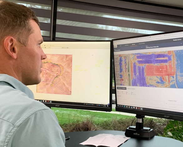
Not long ago project teams worked from different data sources, resulting in gaps or inaccurate information. Today, drone surveying paired with processing technology like Propeller provides quick and accessible insight into what’s happening on your worksite through 3D maps, removing the guesswork. Survey crews are able to quickly translate worksite data into an easy-to-read map that the entire project team can use to measure and manage production and site progress. With near real-time access to this comprehensive data, businesses can operate more efficiently.
Here, we’ll first discuss how keeping up with evolving worksite data can be tough, and then explain how using a drone surveying, map-based workflow helps close the information gap and keeps everyone on the same page.
The difficulty with an ever-changing worksite
On a busy worksite, it doesn’t take long for data to become obsolete. As new designs are developed and site progress data is collected, the information you gather is only as good as your team’s ability to analyze it and quickly distribute it to the appropriate stakeholders. The longer people go without receiving or understanding the latest worksite updates, the wider the divide. Basing decisions on inaccurate data can cause errors, which can lead to project delays and rework that can severely impact your bottom line. Bad or outdated data can also lead to:
- Customer dissatisfaction
- Reputational damage
- Lower employee satisfaction
- Impact on sustainable business practices / excessive fuel burn
The solution: Turn the map into a project meeting ground
Data captured by drone surveying makes solving the information gap problem easier because it quickly brings (processing usually only takes a day) measurement and data management tools to an easy-to-read 3D map of the worksite to create a digital meeting ground where project teams can collaborate.
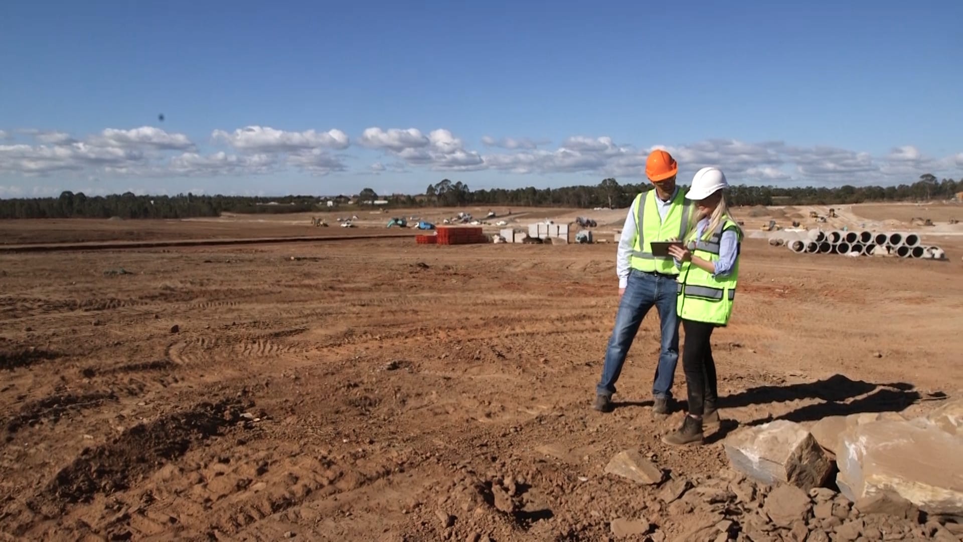
It’s not just technical people like surveyors and engineers using these maps and data; it’s relevant and easily understood for everyone on the project team ranging from field operators and business owners to superintendents and clients who need to understand progress. The map-based workflow makes it simple for all project stakeholders to view the site from different perspectives, spot potential hazards or opportunities, and make more informed decisions based on highly accurate project data. This data can be shared externally too. Since everyone’s looking at the same map, disputes are less likely to happen, and trust with clients is strengthened. This technology also allows field teams to have access to updated maps and reports in the palm of their hand from their mobile devices, which keeps the lines of communication from office to field wide open.
In addition to better collaboration, other benefits of using 3D map-based data include:
- Getting data accurate to 1/10 foot throughout the project lifecycle
- Minimizing change orders and rework by keeping clients and designers informed at every stage
- Measuring cut/fill and material quantities throughout the project in near-real-time
Your 3D map becomes the hub for all your data, helping you streamline your workflows and reducing the time spent surveying and gathering data. With Propeller, you’ll be able to map, measure and manage your worksite more efficiently, reduce waste and rework, and save money.