How Propeller calculates expected accuracy
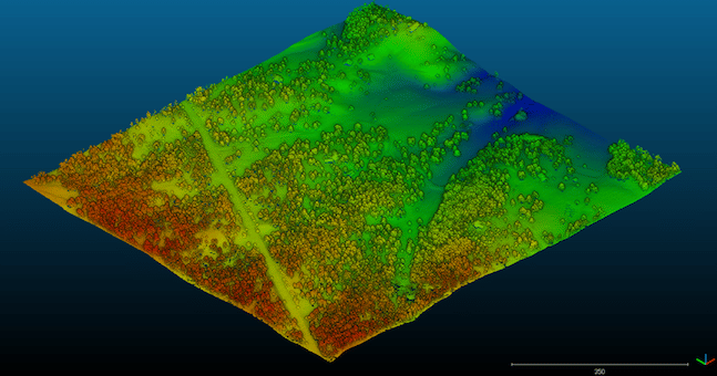
Learn what a point cloud actually is and then how drone data is integrated with…
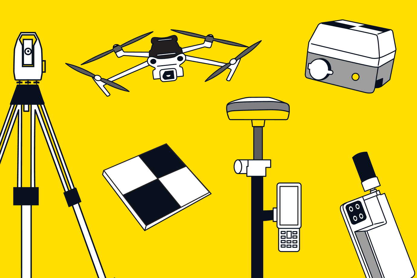
Capture your reality with confidence and control. Propeller’s hardware integrations adapt to any environment, project, or use case.
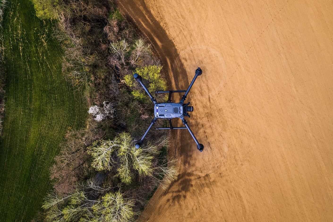
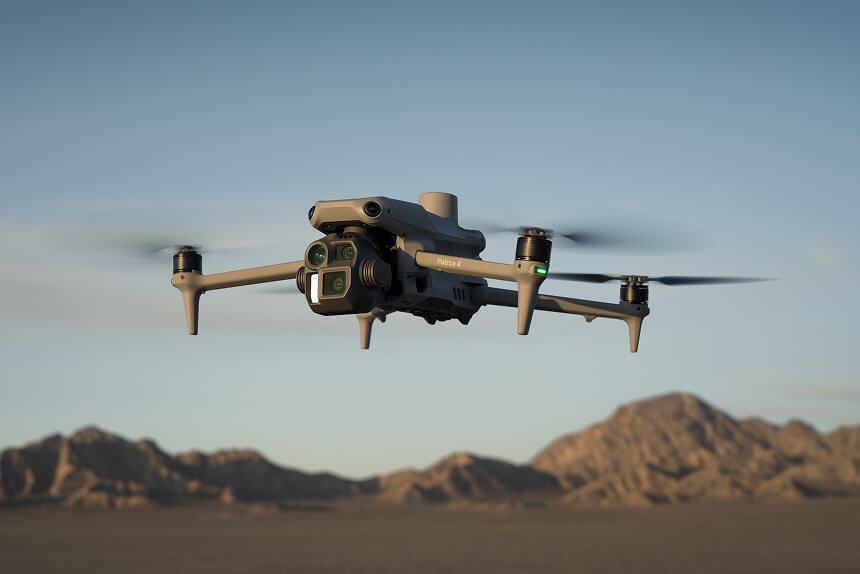
Propeller works with data from any drone. The drones below have been tested and verified to deliver reliable, high-precision photogrammetric models.
| Drones | Platform compatible Works with Propeller for processing and analysis | PPK-enabled Processes PPK data streams for survey-grade accuracy | Hardware support Expertly supported by Propeller’s Hardware Support team | Expected accuracy Based on ideal settings, workflows, and site conditions for your drone | Conditions To achieve accuracy resultsTypical accuracy levels based on ideal conditions | Maximum QA level QA level set by Propeller testing to reflect the drone’s expected accuracy | Supported payloads Compatible sensors and cameras |
|---|---|---|---|---|---|---|---|
| Anzu Raptor | 5-10cm | Minimum 1 AeroPoint needed as PPK base and GCP | Moderate | Model: Raptor | |||
| Autel Evo II Pro RTK V1/V2 | 7-10cm | Minimum 1 AeroPoint needed as PPK base and GCP | Moderate | Model: XT705, all pre-2026 models | |||
| Autel Evo II Pro RTK V3 | 5-10cm | Minimum 1 AeroPoint needed as PPK base and GCP | Moderate | Model: XL705, all pre-2026 models | |||
| DJI Matrice 300/350 RTK | 3-5cm | Minimum 1 AeroPoint needed as PPK base and GCP | Strict | Zenmuse P1 with 35mm lens Zenmuse L1 for photogrammetry + LiDAR Zenmuse L2 for photogrammetry + LiDAR | |||
| DJI Matrice 400 | 3-5cm | Minimum 1 AeroPoint needed as PPK base and GCP | Strict | Zenmuse P1 with 35mm lens Zenmuse L2 for photogrammetry + LiDAR Zenmuse L3 for photogrammetry + LiDAR | |||
| DJI Mavic 3 Enterprise | 3-5cm | Minimum 1 AeroPoint needed as PPK base and GCP | Strict | Model: M3E | |||
| DJI Matrice 4 Enterprise | 3-5cm | Minimum 1 AeroPoint needed as PPK base and GCP | Strict | Model: M4E | |||
| DJI Phantom 4 RTK | 3-5cm | Minimum 1 AeroPoint needed as PPK base and GCP | Strict | Model: FC6310R | |||
| Freefly Astro | 3-5cm | Minimum 3 AeroPoints needed as PPK base and GCP | Strict | Sony ILX-LR1 | |||
| Quantum Trinity F90+ | 3-5cm | Minimum 1 AeroPoint needed as PPK base and GCP | Strict | Sony UMC, Model: UMC-R10C Sony RX1R II, Model DSC-RX1RM2 | |||
| Skydio X10 | 3-7cm | Minimum 3 AeroPoints needed as PPK base and GCP | Strict | Model: VT300-L_93 V100-L | |||
| WingtraOne Gen I / Gen II | 3-5cm | Minimum 3 AeroPoints needed as PPK base and GCP | Strict | MAP61 RGB61 Sony a6100 Sony RX1R II, Model: DSC-RX1RM2 | WingtraRAY | 3-5cm | Minimum 3 AeroPoints needed as PPK base and GCP | Strict | MAP61 SURVEY61 |
Propeller supports all drones, even non-PPK models. While PPK unlocks higher accuracy, you can still process flight data from any drone with a GPS-enabled camera. No extra hardware or setup required.
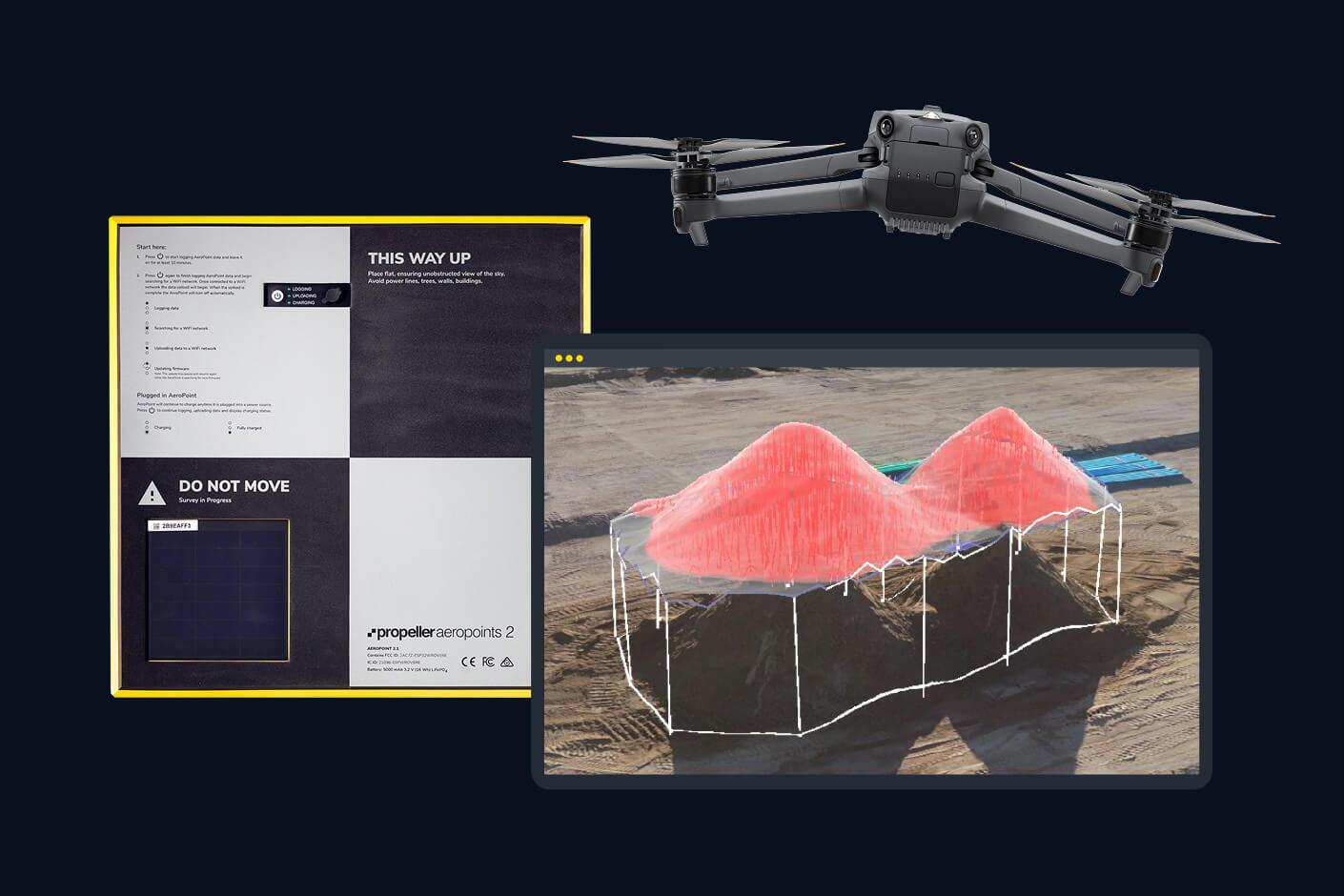
Propeller PPK is the only fully integrated drone survey processing workflow that delivers survey-grade results repeatedly. Automatically capture, process, and correct your drone data from anywhere, at any scale.
Live stream positioning data and integrate your ground-based surveys on the map.
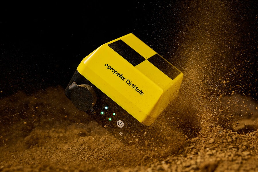
DirtMate is a GNSS receiver with an onboard IMU that unlocks machine tracking and real-time survey solutions in Propeller. Attach to any machine to live stream what’s happening in the field.
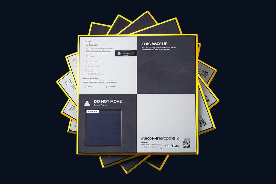
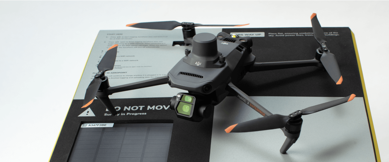
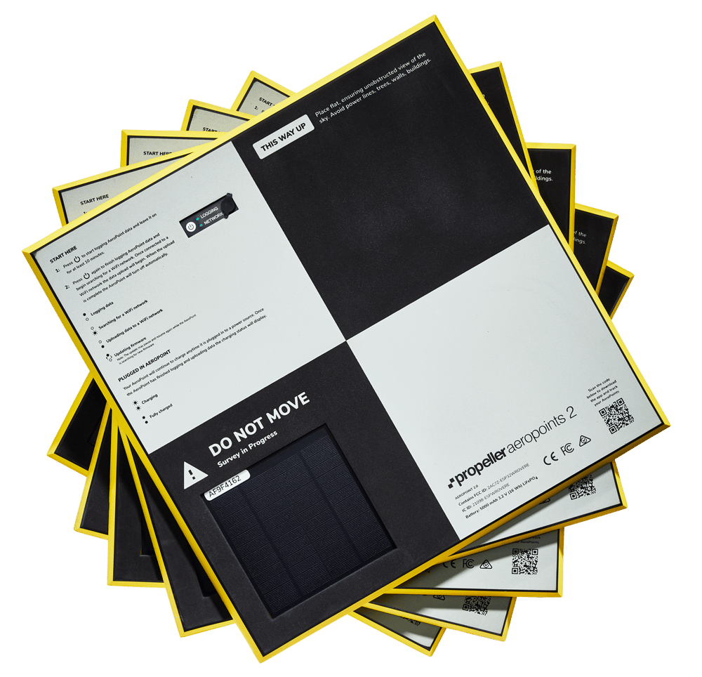
AeroPoints are the only smart ground control points designed for any drone and any worksite, ensuring survey-grade accuracy on every flight.
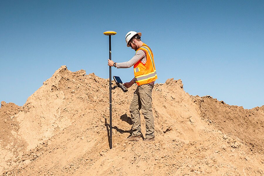
Upload GPS rover and total station surveys as TIN surfaces to track progress, verify conditions, and enhance accuracy—seamlessly integrating with the rest of your Propeller data.
Keep your reality on record with quick site inspections and field updates.
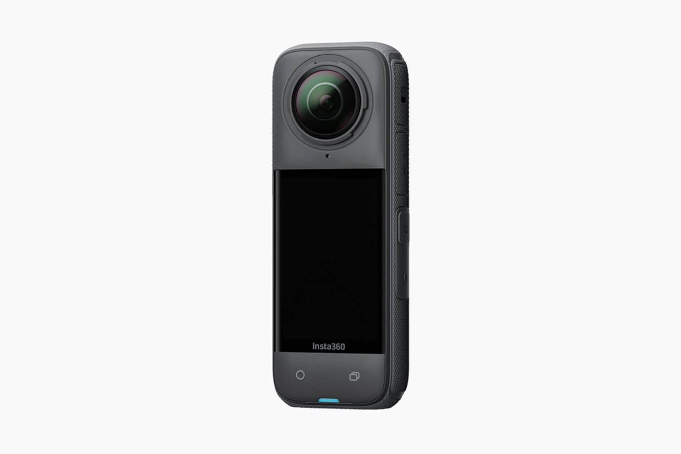
The Insta360 is a versatile 360° camera designed for immersive content creation. It features high-resolution video capture, advanced stabilization, and mobile connectivity for seamless sharing.
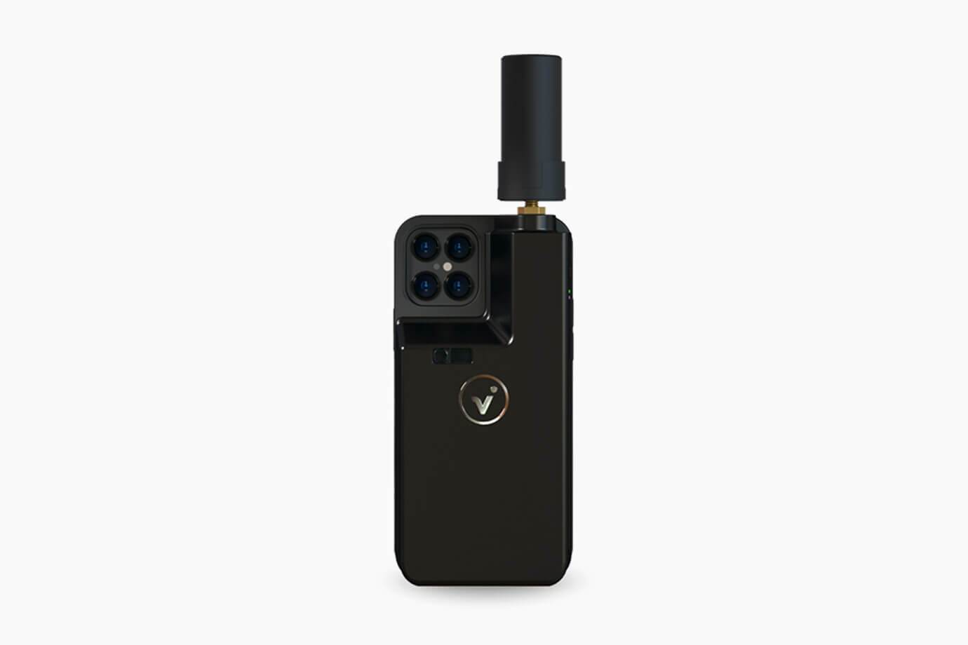
The viDoc RTK rover is a high-precision GNSS device optimized for mobile mapping, delivering survey-grade accuracy when paired with a smartphone or tablet.
Integrate your data capture, processing, and analysis workflows with Propeller.
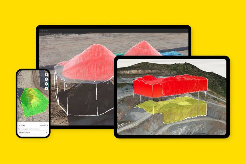
Connect your plans, field data, and team in one cloud-based hub—where everything comes together on a single, 3D map.
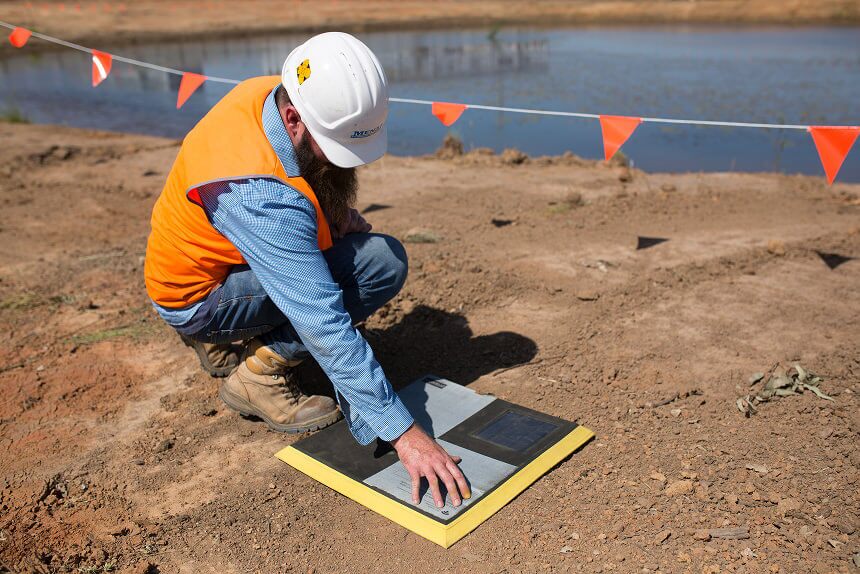
Built for ease and trusted by experts, AeroPoints are the only smart ground control points, making survey-grade data simple.
Send photogrammetric and LiDAR surveys through Propeller’s processing pipeline for fast, hassle-free results—delivered automatically to the map.
The right accuracy level depends on the job at hand. For example, you need extremely high accuracy if you’re laying foundations, but you can work with less precision if you’re estimating landfill capacity.
We test drones under the same flight conditions and using the same ground control setup. Then we compare each drone’s data to a highly accurate benchmark drone.
Here’s what we measure:
The way you fly the drone (including its flight path and ambient weather conditions), how you capture images, and your site’s conditions all play a part. We test drones under consistent conditions to give you reliable and comparable results.
Think about your project requirements. For highly detailed measurements, aim for a drone with accuracy down to a few centimeters. If estimates will work, you can choose a drone with a higher margin of error.
Absolutely! We base our accuracy ranges on thorough, consistent testing. Click here to check out our accuracy report which goes into detail on our in-depth testing process.
