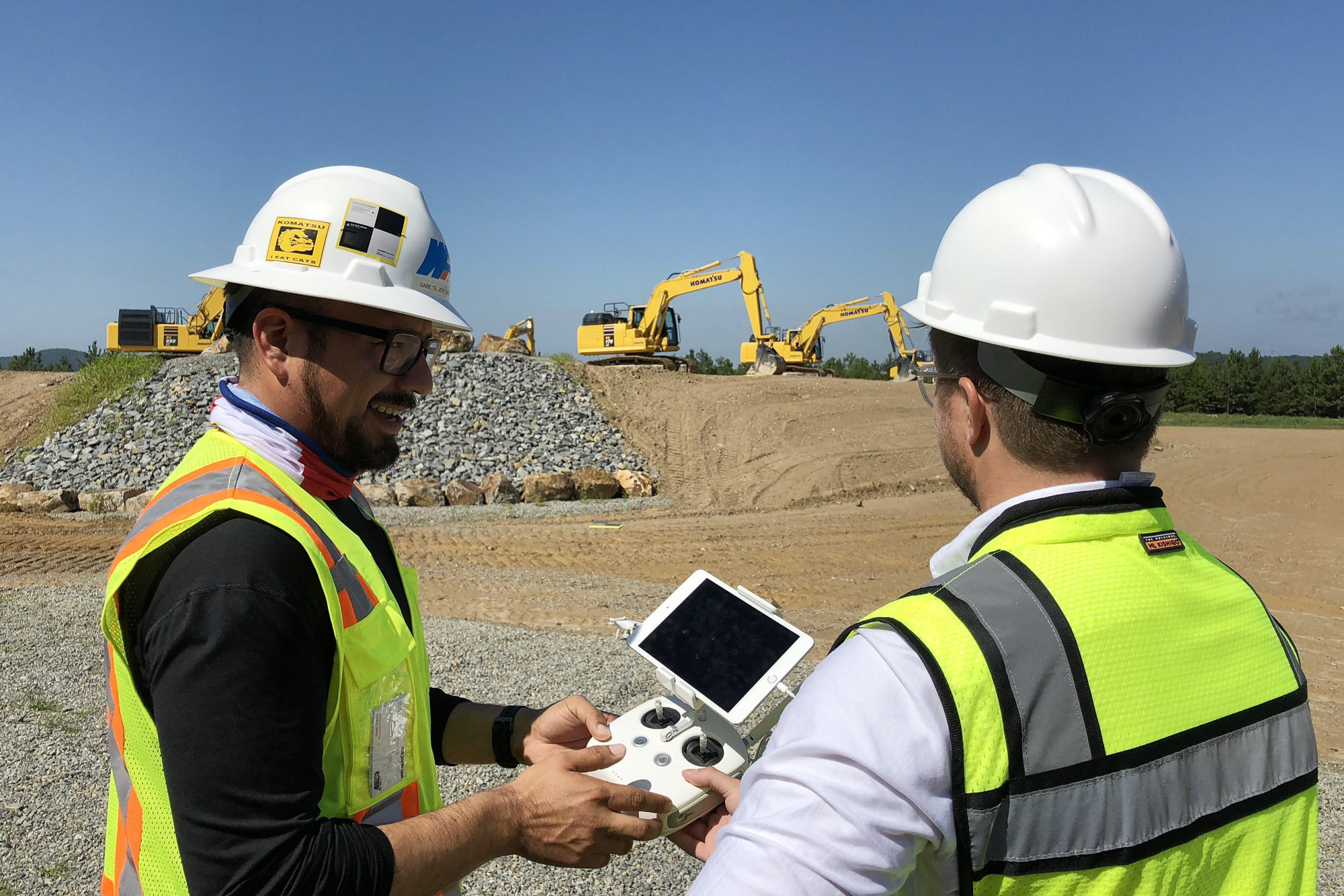
There’s a version of site communication that most teams know well: a blurry photo, a vague description, and a timestamp that says “yesterday.” Someone took it. No one knows exactly where. And now three people are on a call trying to figure out if it’s the same corner they were looking at last week.
It’s not a process problem. It’s a context problem.
The cost of missing context
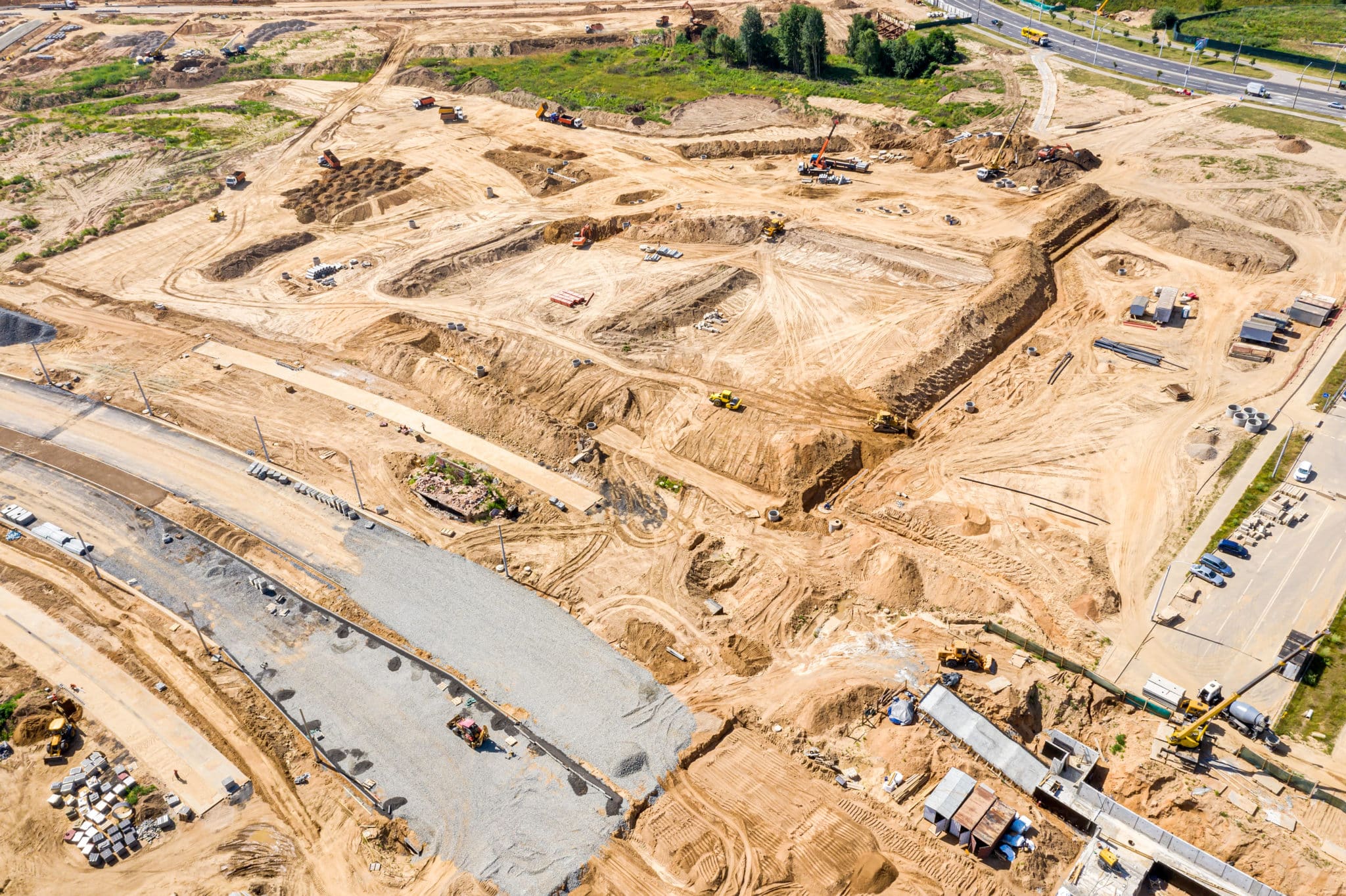
When something goes wrong on site, or when something needs to be proven, the first question is almost always where and when. Not just “what happened,” but exactly where, and exactly when did you capture that?
Without that anchor, information becomes noise. A photo without a location could be anywhere. A note without a timestamp is hard to trust in a dispute. A walkthrough that lived in someone’s camera roll for three days before being shared? That’s a conversation, not a record.
The gap between the field and the office is rarely about effort. It’s about the information not having enough structure to travel well. When something captures fast but lands in a text thread, it doesn’t make it into the project record. It doesn’t tie to a location on the map. It disappears.
And that disappearing act has real costs: rework triggered by miscommunication, disputes with no documentation to lean on, office teams making decisions based on outdated context. None of it is dramatic. It just quietly erodes the margin.
What “good proof” actually looks like
Good proof on a job site is specific. It’s a photo pinned to the exact spot on the map where it was taken. It’s a 360 walkthrough that lets someone in the office navigate the site themselves, weeks after the fact. It’s a form submitted at handoff, timestamped, geo-referenced, attached to the project, so there’s no ambiguity about what state the work was in.
That kind of documentation doesn’t just protect you after something goes wrong. It changes the daily rhythm of the site. Questions get answered faster. Handoffs between shifts get cleaner. Clients and stakeholders stop asking “can you send me something?” because the information is already there, already in context.
[QUOTE PLACEHOLDER: Looking for a customer quote that captures the moment when location-stamped field capture saved them from a dispute, cleared up a miscommunication between office and field, or gave them confidence in a handoff they wouldn’t have had otherwise. Ideally a foreman, site supervisor, or PM who sends or receives this kind of documentation regularly. The more specific the situation, the better.]
The difference between a photo and proof is context. Geo-referenced, timestamped, tied to a real place on a real map: that’s what makes something you can actually point to when it counts.
How teams keep a cleaner record
It starts with capture being easy enough that it actually happens. If the workflow requires a laptop, a desktop upload, and three extra steps, field teams skip it. Not because they don’t care, but because the site doesn’t stop moving.
The teams that keep the cleanest records tend to share a few habits:
Capture at the moment, not at the end of the day.
A photo taken mid-pour with a location pin is worth ten taken an hour later from memory.
Sync to the map, not to a chat thread.
When documentation lives in the project, it’s findable by the right people, not buried under 200 messages.
Use structured capture when consistency matters.
Forms at handoffs, at shift changes, at inspections. Same fields every time, so nothing gets missed.
Share walkthroughs instead of descriptions.
A 360 walkthrough of a problem area communicates in seconds what a paragraph can’t.
The goal isn’t documentation for documentation’s sake. It’s keeping the field and the office looking at the same truth, without the lag.
A simple checklist: is your field capture working?
Before your next flight or site walk, it’s worth asking:
Is field capture happening in the map, or in someone’s camera roll?
Can anyone on the project find a photo from last week and know exactly where it was taken?
Do handoffs between shifts include structured documentation, or just a verbal rundown?
When a question comes in from the office, how long does it take to get them a visual answer?
If something went sideways today, do you have a record you could actually use?
If more than a couple of those are uncomfortable to answer, the fix isn’t more effort. It’s better tools.
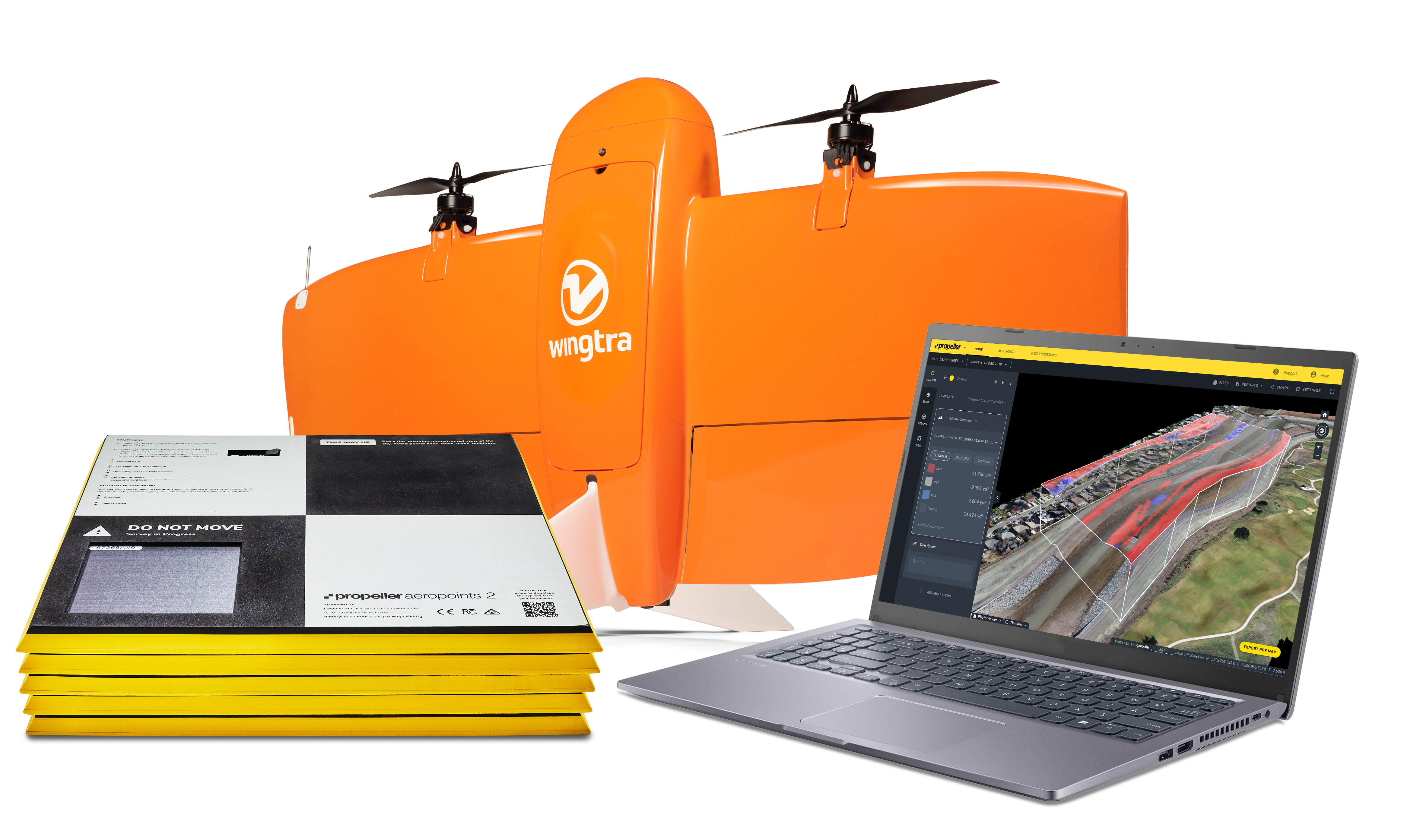
See it in action
Propeller Field brings field capture into the map. Photos, 360 walkthroughs, handheld scans, and forms: all geo-referenced, all timestamped, all synced to the project so the office and the field are working from the same picture. No waiting for the next flight. No digging through chat threads.