How PMs use survey data to outpace the schedule
On most earthwork sites, progress is gated by access to survey data. When teams have to wait for answers, schedules slip.
When PMs can verify grade, quantities, and progress themselves, decisions happen faster and mistakes get caught earlier.
Small time savings add up. Over the life of a project, they compound into meaningful schedule gains and stronger margins.
The cost of waiting on the stake
It slows everything down.
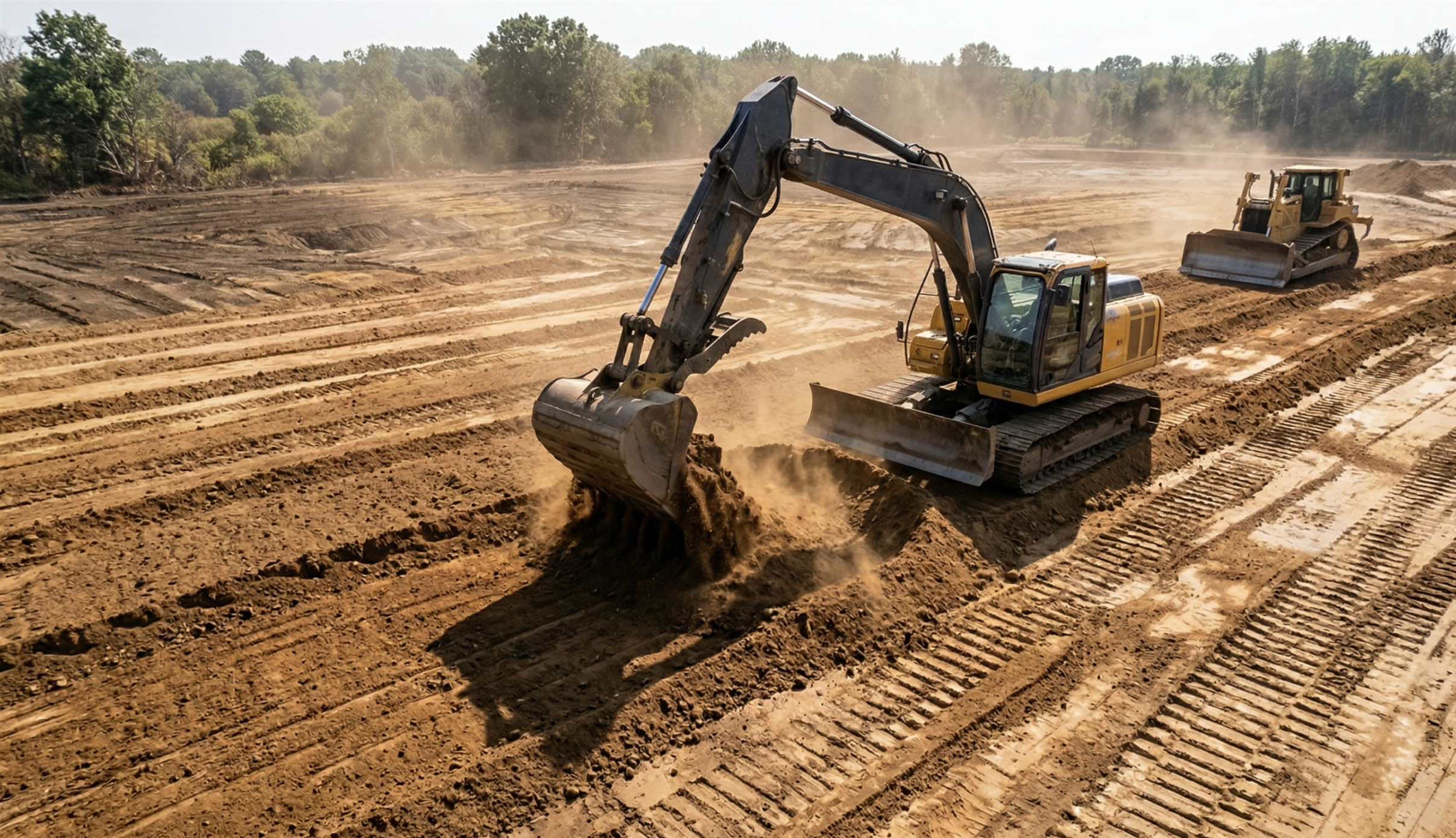
It’s early morning on site and the team needs to know if yesterday’s work hit grade. The answer exists, but it’s tied to a survey that hasn’t been done yet.
So the crew waits, guesses, or moves forward without certainty.
Each delay might seem minor, but over time they stack up into real schedule impact.
A verified existing ground baseline changes this by putting answers directly in the hands of the project team.
How survey workflows create bottlenecks
Good process, slow outcomes.
Traditional workflows turn survey crews into the gatekeepers of site data:
- Need grade verification, schedule a survey
- Need progress quantities, wait for a topo
- Need to validate conditions, call the surveyor
Each delay can take hours or days. Across a project, that slows decision-making and increases the risk of rework.
With a self-serve map, verification becomes something the team does on demand.
What self-serve site data looks like
Answers without waiting.
With a verified existing ground baseline and a cloud-based map, PMs can access current site conditions at any time.
They can compare progress against design, validate quantities, and share the same view with stakeholders in real time.
The baseline established at the start of the project becomes the reference point for everything that follows.
That turns site data into a daily decision-making tool instead of a scheduled deliverable.
Questions PMs should answer instantly
The ones that drive production.
With the right data, PMs can answer key questions directly from the map:
- How much cut/fill is complete versus total scope
- Whether current grade matches design
- If subcontractor progress aligns with billing
- Where unexpected material is accumulating
- If progress aligns with upcoming milestones
- How current import/export compares to plan
In traditional workflows, these answers come later. With self-serve data, they’re available when decisions need to be made.
Instant grade verification in the field
Catch issues early, fix them cheaply.
With regular site updates and a verified baseline, PMs can compare current surfaces against design and identify deviations quickly.
Catching an issue early keeps correction small. Catching it late turns it into rework.
The difference is measured in hours versus days.
Reduce subcontractor disputes
Shared data removes ambiguity.
Disputes often come down to differing interpretations of conditions or quantities.
A shared, verified surface eliminates that ambiguity:
- Both parties work from the same baseline
- Progress is measured against the same data
- Claims are validated against the same source
When everyone sees the same map, disputes resolve faster or don’t happen at all.
Small time savings compound
Faster decisions add up.
Individually, each time saving is small. Together, they reshape the schedule:
- Faster progress checks reduce weekly delays
- Fewer survey dependencies remove bottlenecks
- Earlier issue detection avoids rework
- Faster dispute resolution keeps work moving
Across a multi-month project, this often translates into meaningful schedule recovery without changing resources or scope.
From bid to closeout on one surface
The full value of verified data.
This series started with one idea: existing ground is the foundation for every decision in earthwork.
When that surface is verified and shared, it connects the full lifecycle of a project:
- Estimators build accurate bids
- PMs manage daily production
- Owners review outcomes with confidence
One surface. One source of truth. From start to finish.
TL;DR: How PMs use survey data to move faster
- Waiting on survey data slows decision-making
- Self-serve maps give PMs immediate access to site data
- Early detection reduces rework and cost
- Shared data reduces disputes and misalignment
- Small time savings compound into schedule gains
Take control of your site map
Stop waiting and start verifying.
See how Propeller turns verified existing ground into a daily production tool, giving your team the data they need to move faster and stay on track.


