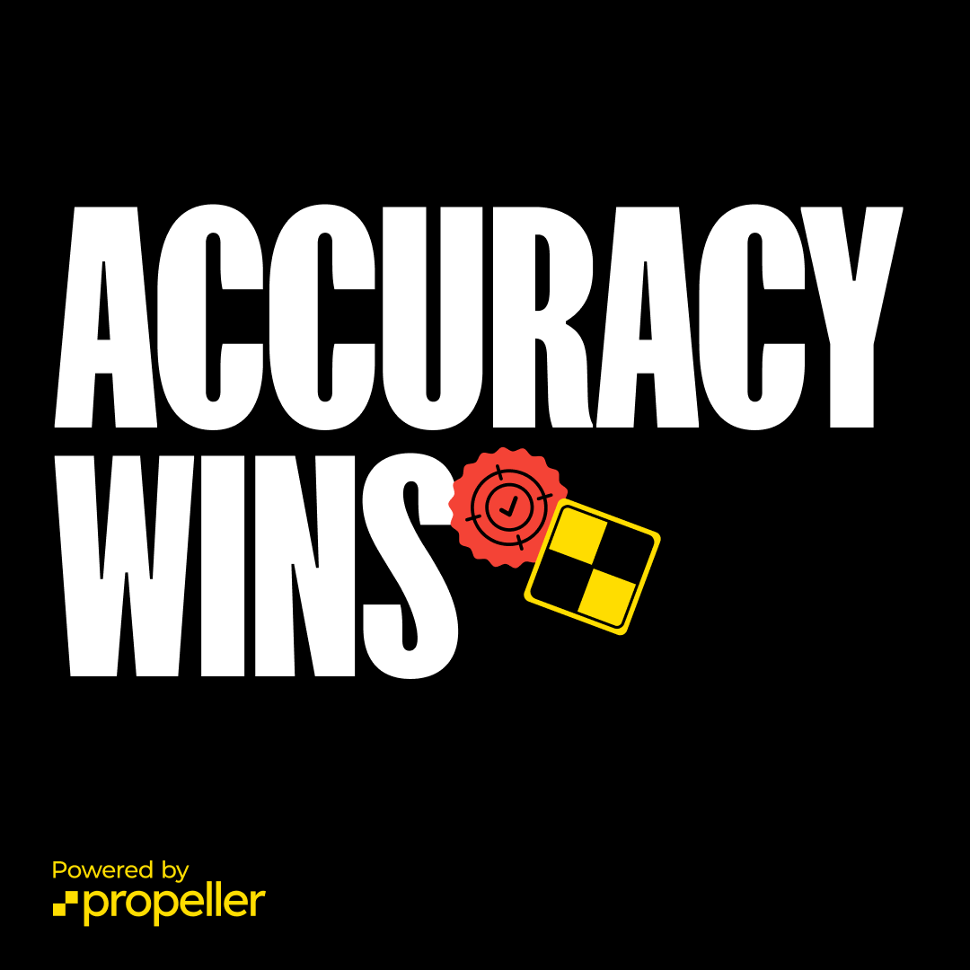
The solution: Making survey-grade maps accessible to everyone
Collecting and sharing accurate survey data doesn’t have to be a painful process. Since our inception, Propeller has set out to change the game, overhauling the concept of survey accuracy in some of the most fast-paced industries.
Step 1: Capture the right data quickly
Should data be accurate or fast? There’s only one correct answer: both.

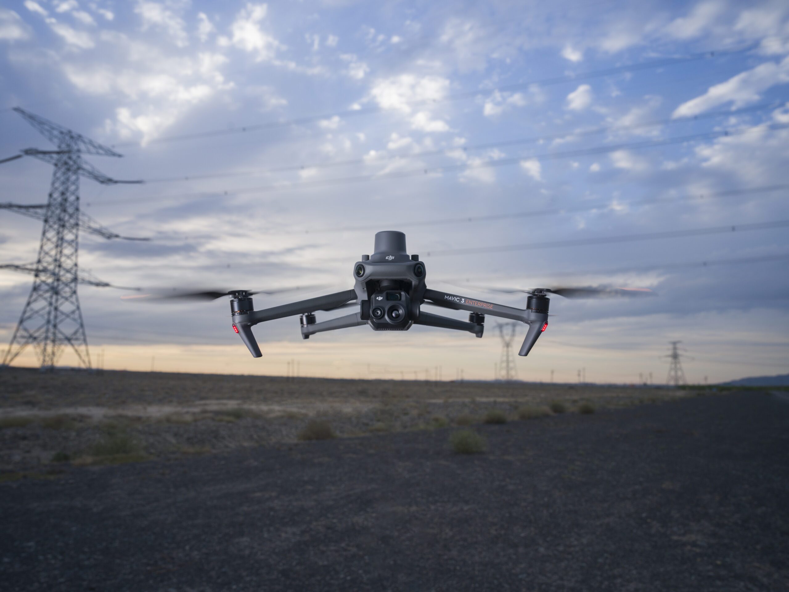
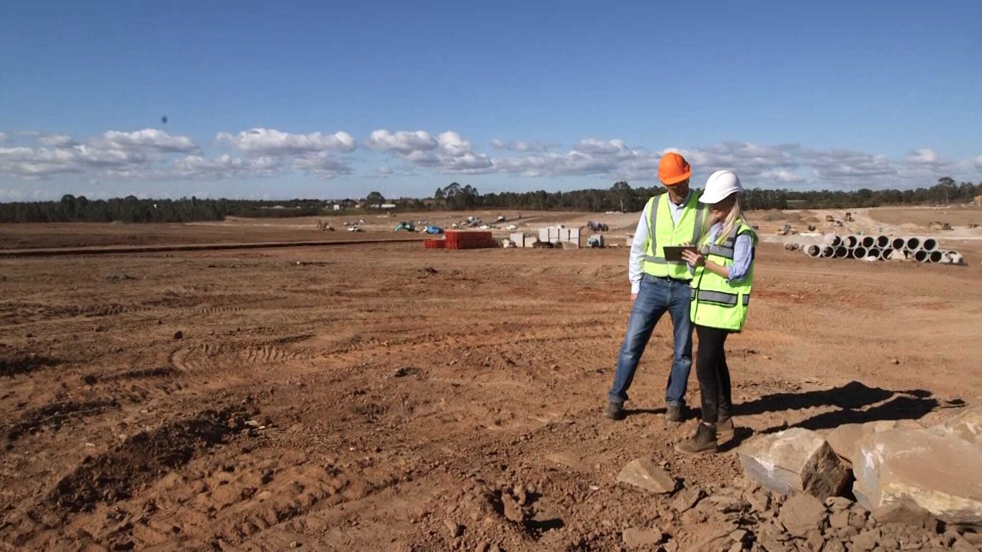
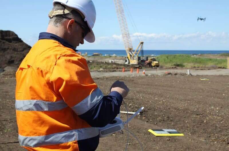
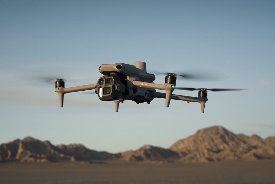
Advanced hardware, like RTK drones and AeroPoints, make it easy to capture and process survey-grade data at speed. Depending on site size, pilots can put a drone in the air for as little as ten minutes to get all the data they need, empowering teams to survey once a week or more.
“Everything before that had to be done by hand, either with a GPS or total station, would have taken days. Now I can do it in a couple of hours with a drone and get more accurate data.” —Justin Russell, Head Surveyor, Fiore & Sons
Step 2: Empower the right people
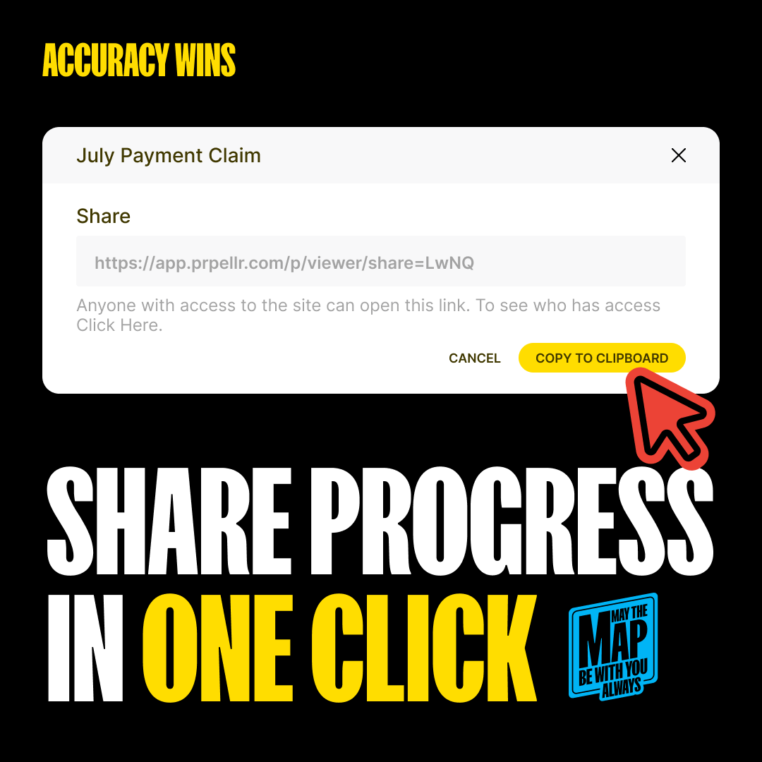
Surveyors shouldn’t have to be the go-between or interpreters of all worksite data. Propeller provides a single hub to help you close the information gap, empowering your whole team to measure quantities and manage progress from anywhere—and from any device.
With just one source of data, there’s no confusion about where to find the latest and greatest information. And because it’s processed into a 3D map, there’s no confusion about what it means, and no technical training required to read it.
As survey data touches more hands, the role of survey teams is more important than ever. Using drones and other advanced tools responsibly requires the right resources to escalate and verify data quality when needed, ensuring that the surveying program sticks to high-quality standards.
Accessible surveys are just one tool in the surveyor’s ever-evolving toolbelt, helping them empower entire teams to answer their own questions, stay connected, and make confident decisions.
Step 3: Make the right calls
Trusted and accurate measurements lead to confident decision-making and improved collaboration.

When everyone has access to real-time information, your business gets more efficient and more agile. Team members at every level can make better decisions, faster.
“There’s better planning and more efficiency in what we do, day in and day out. The 3D model speaks for itself; it’s all transparent and open.” —Jonathan Wills, Director, Wills Bros
“With accessible survey data, I was able to point out a 20-foot deep creek bed that was missing from the engineer’s topo. So we were able to push that back and get the plans revised without us having to eat the cost and fix it ourselves, because we caught it early enough.” —Paul Sheppard, UAS Specialist, Plateau Construction