Propeller data, ready for ArcGIS/ESRI
ArcGIS is a GIS platform that connects directly with your Propeller data. Export your high-precision site data (orthophotos, DEMs, and design files) to perform advanced spatial analysis, progress tracking, and design review within the ESRI ecosystem.

What you can do
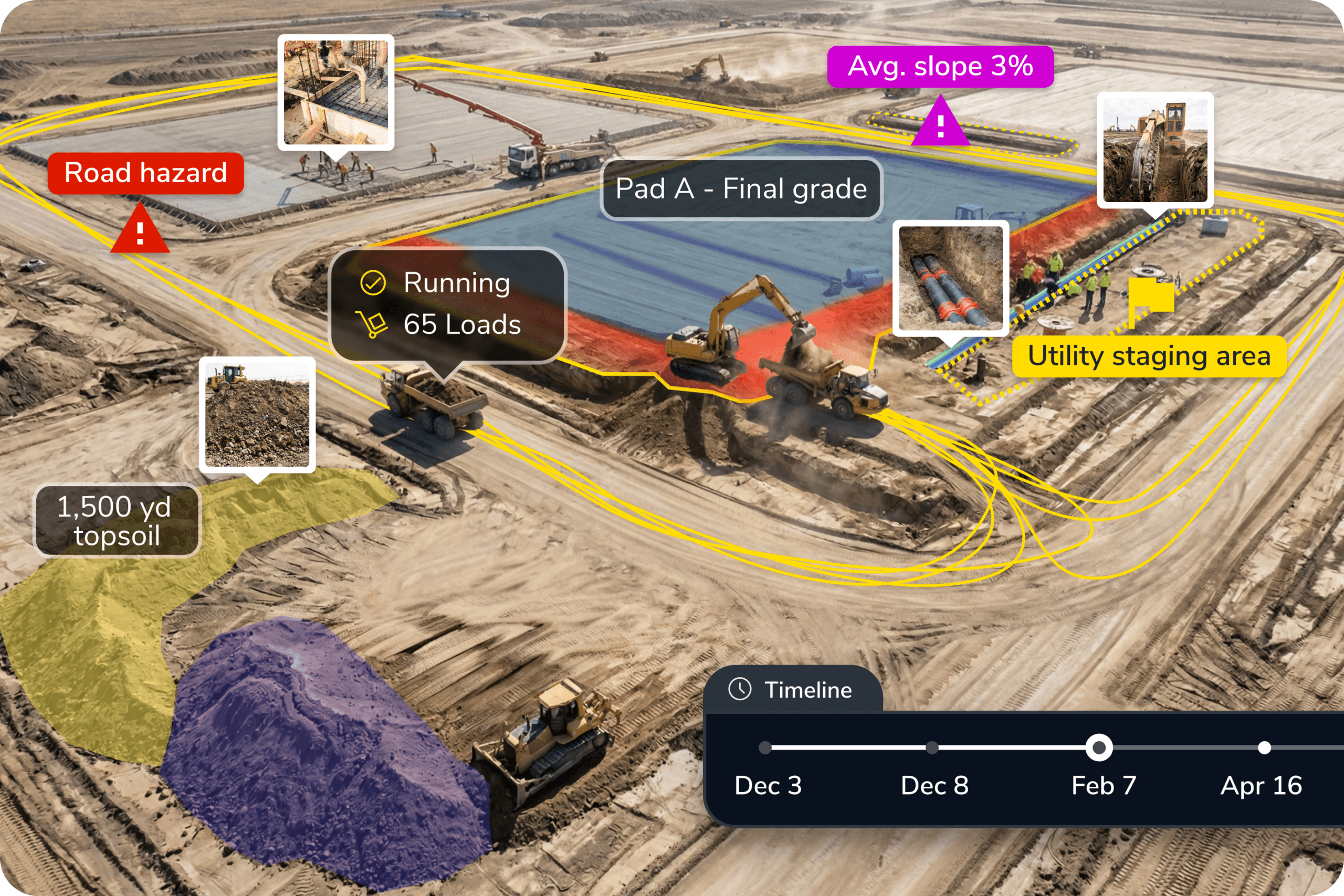
Stream your site data into ArcGIS Online or Portal using Propeller’s WMTS (Web Map Tile Service) integration for real-time site visualization. Import georeferenced orthophotos, DEMs, and .DXF design files to perform grade checking, volume tracking, and design-to-survey comparisons alongside your existing GIS data.
Ready to learn more?
Request a demo to understand how you can integrate Propeller into your current instance of ARCGIS or how to implement the both into your current business.