When it comes to delivering site maps and progress data to individuals outside your organization, what you share is as important as how you share it. Communicating information relevant to their needs—and nothing else—is crucial for both your data security and for more efficient workflows.
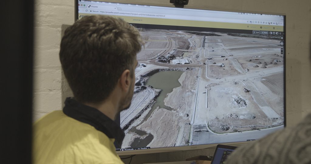
Our customers made it clear that they wanted a better way to share Propeller’s accurate, actionable 3D site models with third parties. So we gave it to them.
Introducing the new View-only mode for the Propeller Platform! Users with view-only access to your sites are unable to create, share, or export measurements and reports. They are also restricted from viewing sensitive information like volume measurements or designs.
Based on our customers’ feedback, we believe introducing this new layer to user permissions was important for two reasons:
1. View-only offers an added level of security and reassurance for site owners
Between subcontractors, consultants, and inspection groups, there are plenty of third parties that would benefit from access to the dynamic 3D renderings of your site that Propeller generates.
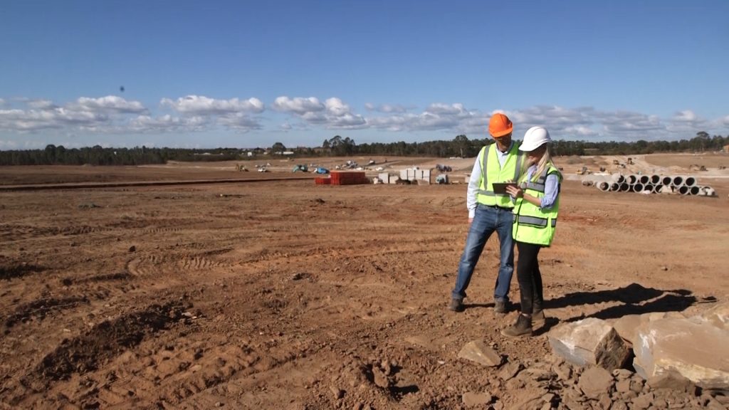
But in many cases with outside groups—as well as with clients and other project stakeholders—that up-to-date overview is all they actually need to see. If there’s no reason for them to view or export historical data and specific measurements, why share it with them?
Especially when working with individuals and groups that you don’t have an established relationship with, safeguarding all but the most necessary information is a practical precaution.
By restricting third parties’ access to the full range of Propeller Platform features, View-only offers the peace of mind necessary for you to collaborate with confidence.
2. View-only helps third parties hone in on the information they need to make key decisions
As we’ve said, a broad overview of your site’s progress is often the only thing someone may be interested in seeing. While we provide other ways to share maps and project data (more on that in a second), being able to navigate around a realistic visualization of your site offers customers and third parties an unparalleled point of view they can’t get elsewhere.
For instance, Sam Faulkner, the lead surveyor at BMD Constructions, has been using our View-only feature to provide site updates to clients:
“Transparency with the client is invaluable to our business,” says Sam. “The more information the client can receive in a legible and understandable format, the more confidence it gives in our ability to perform. It also allows clients who may not be local to the project an opportunity to understand its progression.”
The “legibility” Sam mentions is another key aspect of View-only’s appeal. The fact is not everyone needs the full set of tools in the Propeller Platform toolbox. Drowning clients and third parties in extraneous features can cause confusion and slow down their workflows.
This is also true for people inside your organization; team members with partial or indirect project involvement, who don’t require full visibility on every inch of earth you’re moving, can benefit from this scaled-back view of your site too.
Even more ways to share up-to-date, mission-critical insights
During a project lifecycle, it’s often the burden of a survey or project manager to act as the gatekeeper for all progress data. They are required to manage the flow of that information—who receives what data and when. And getting the right level of information, in the right hands, is no easy task.
Over the past year, Propeller has been focusing on making it easier for these gatekeepers to share information. The introduction of View-only access to the Propeller Platform comes on the heels of two other features we recently introduced.
Crew: Bridging Your Team’s Communication Gaps With Mobile Maps
A new add-on to the Propeller Platform, Crew allows users to share interactive, info-rich, 2D maps of your site directly to your field teams’ phones, as well as with anyone else outside your organization.
Crew-generated maps are totally customizable to fit the needs of whomever you send them to. You can include elements like linework, cut/fill remainders, and design specs, which can be turned on and off while viewing the maps in the field. Users can also perform elevation spot checks by clicking anywhere on the map.

The best part is there’s no complicated mobile app for your team to download in order to take advantage of Crew’s maps. You simply generate a unique URL that can be shared however you see fit—through SMS, email, or your organization’s preferred communication platform—and your team can click on it to pull up the map in any browser.
Quick and easy PDF map exports
For a more traditional approach to sharing maps within and outside your organization, last year we introduced an easy way to export high-resolution PDFs of your site.
Like with Crew, you can customize PDF maps with a number of overlays and linework depending on who will be using them. Annotate utility lines, indicate where subcontractors should be operating, or include cut/fill remainders. Also just like with Crew, there’s no limit to how many maps you can generate, or how often you generate them.
While we think any client or third party would benefit from viewing a 3D visualization of your site in the Propeller Platform, PDF exports offer the same information in an easily shareable format.