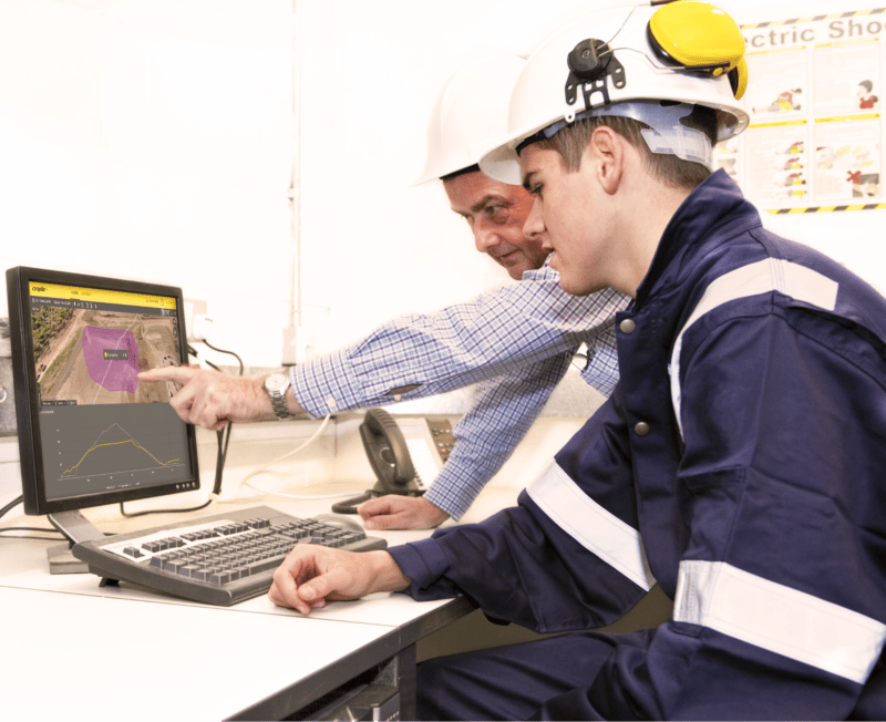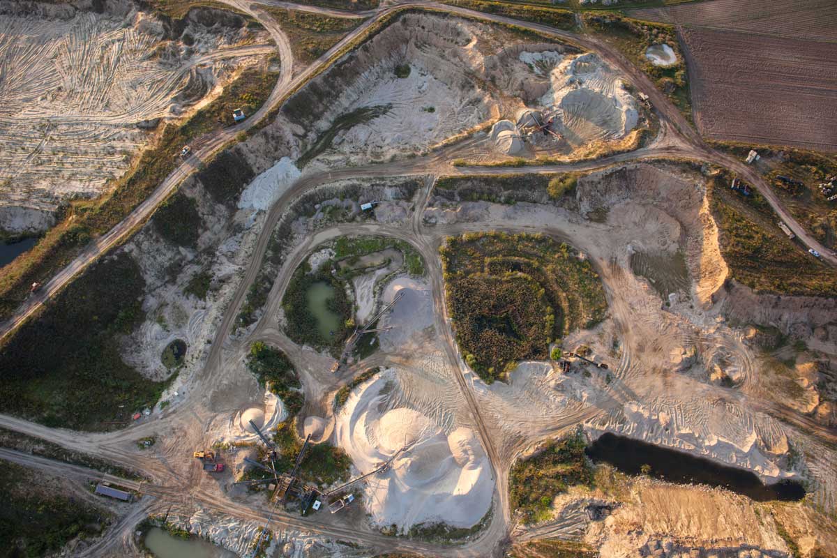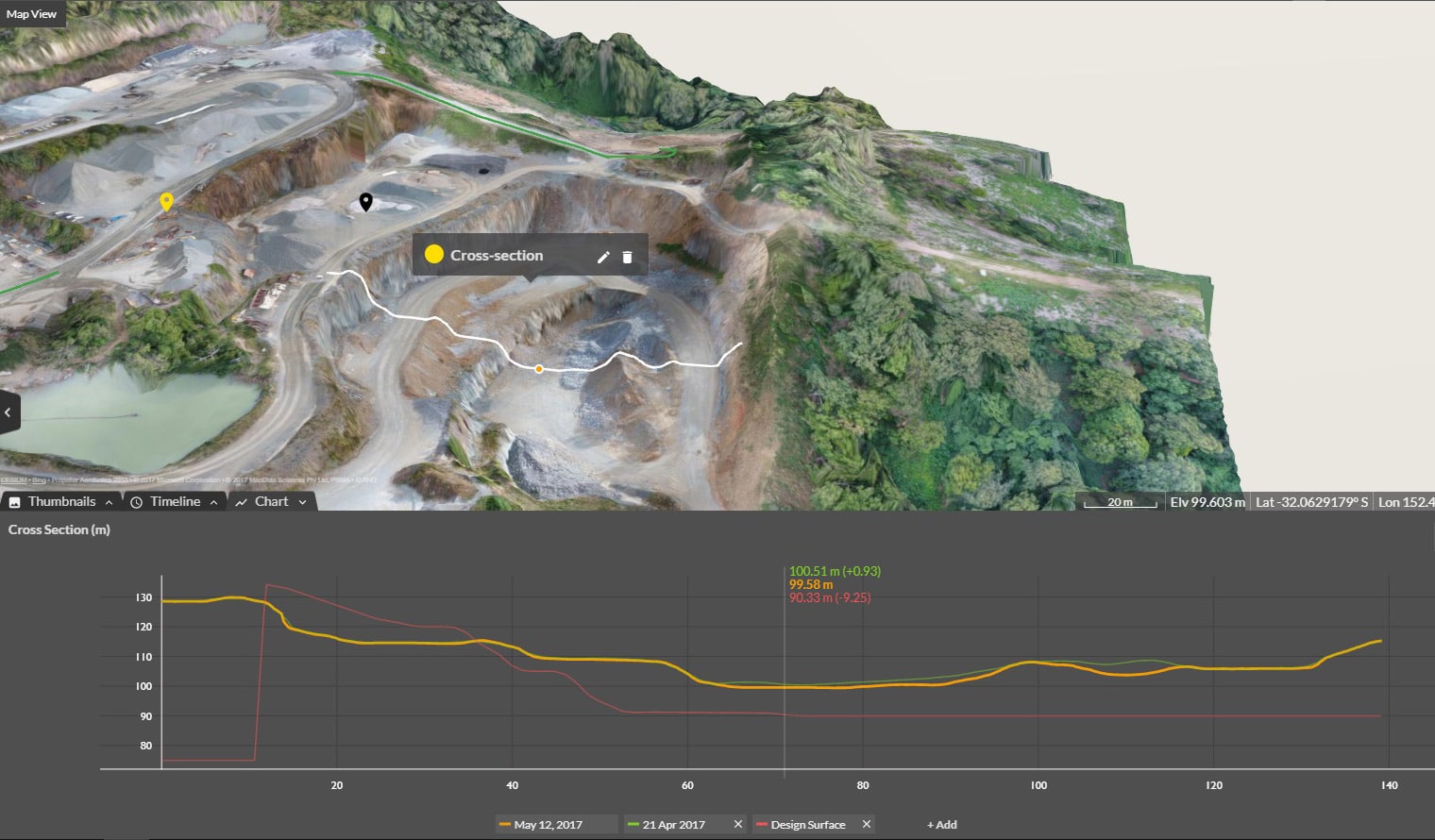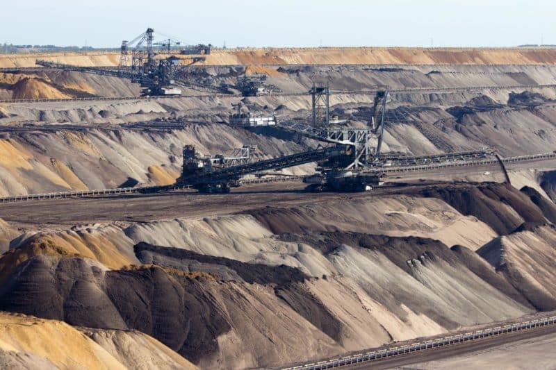
Miner-contractor relationships are built on communication, trust, and a common understanding of how and when the job needs to get done. We all strive to do our best, but busy schedules and the constantly changing landscape of a mine-site make it hard to align all of the stakeholders. PDFs plans can be out of date, photos don’t communicate depth, and survey data gets stuck in a complex software on an expert’s computer. Modern 3D modeling techniques on a cloud platform allow owners and contractors to see current conditions with survey-grade accuracy, up-to-date designs, and the confidence they are working from the same data. An accurate site model built and hosted by a third party promotes communication, trust, and alignment on what is and needs to be done.
Communication
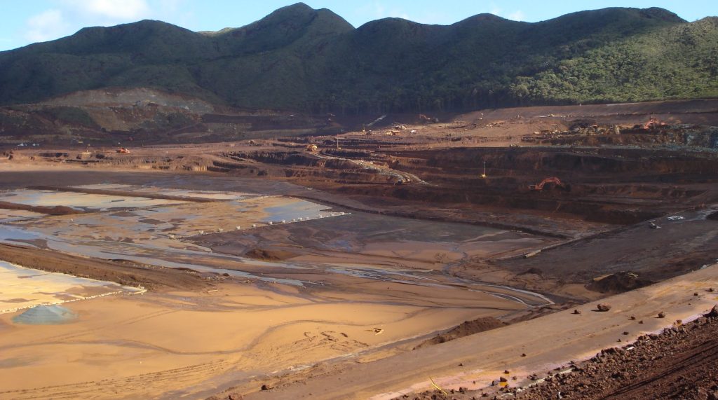
It is difficult to relay what is happening on a large mine site through traditional written and oral communication. Visual tools promote consensus between parties because the data is accessible and easily shared to all backgrounds (technical or not). Rich 3D datasets supply information for more than just the question at hand. While the progress of mucking out a pit may be the reason a survey was conducted, the berm height on a new section of haul road may be brought into question. A regularly collected 3D model allows owners and contractors to flip back and forth through time, avoid costly idle time, and preserve their relationship.
Trust
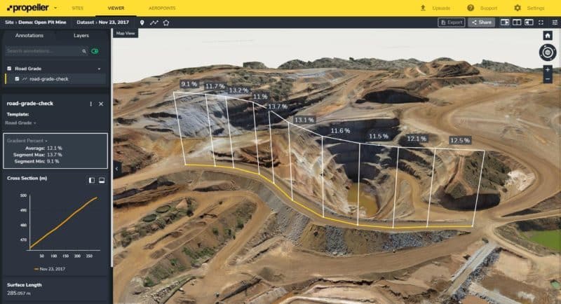
We all feel confident in what we remember, but often these memories differ! Drone surveys processed and hosted by a third party can be used as a single source of truth to avoid the confusion that comes with lots of observers. How many yards did we muck in the last month? Does our road grade match the design? These sorts of questions can be solved by checking the end-of-month model and associated design file. The miner and the contractor can trust that they are both keeping close watch on their operations and being a good partner in the relationship. Each party can access and analyze the same source of truth.
A common understanding
An accurate model is only as useful as the analysis that can be drawn from it. Tools that are easy-to-use promote trust and therefore buy-in from all users. When you need the numbers for the prior week or month, you don’t want to be stuck in a holding pattern waiting for the technology department. From initial bidding to accounting reconciliation, miners and contractors should be confident in their calculations without having to bring in an external team. The more steps between data collection and the resultant quantities, the higher the chance of error.
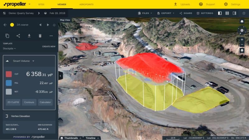
Common examples of work monitored with drone surveys include:
- Measuring the tonnage mucked per month
- Checking progress to design
- Measuring surface area for remediation programs
Final thoughts
Drone surveys provide a cost-effective and quick way of keeping up with site progress. Up-to-date analysis catches mistakes early and avoids both costly rework and soured relationships between miner and contractor. Assumptions can be avoided when it is so easy to check and communicate between the miner and contractor. Frequent surveys also protect the contractor from disputes with the owner by proving their hard earned progress and demonstrating why they deserve to continue work on the site.