In this series, we showcase the various use cases for Propeller’s “smart” ground control points, AeroPoints, and how our customers use them around the world.
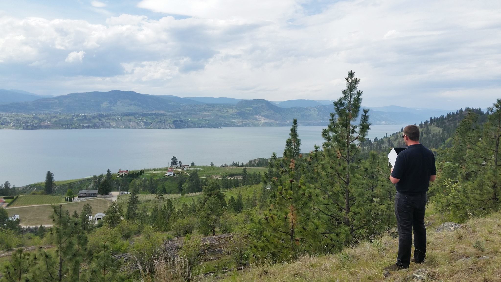
First in our series, meet Steven Green from SGEyeUK in Lancashire, UK. SGEye UK is a small company specializing in composite image photography of large sites to produce volumetric information that allows their customers to monitor site progress, promote their business, or keep accurate records of their onsite stock.
Steven, can you tell us about yourself and your company?
SGEye UK was founded five years ago when I asked a local demolition firm if I could film a demolition they were conducting for a developer. A television company was covering the demo company and documenting their various jobs and asked if they could have the photography I shot during my drone flights of their site. I provided it to them and some of my footage was included on the television show. The site developer also asked if I would send them the static images I captured and compensated me for them, and my business began to grow from there…from taking simple photos to tracking progress on site to more recently mapping and calculating volumetrics.
What geographic area does your business cover?
We serve the north of England, but will travel to any area that a client requests our services.
How has your drone hardware evolved over the journey?
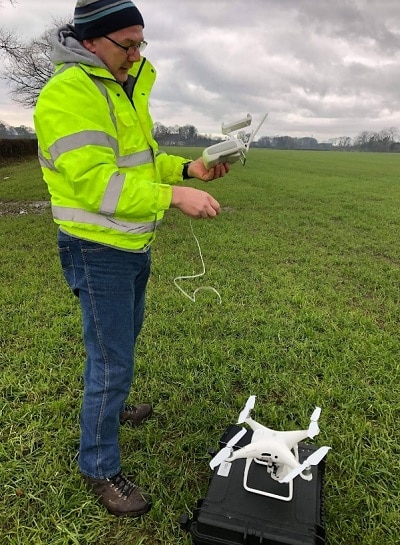
I began using DJI’s Phantom 3 Advanced. While drone technology has progressed significantly, often the newest drones can develop bugs, so I tend to use what I’m familiar with until those initial problems are resolved. I’m planning on investing in a newer drone soon.
You recently completed an 8-hour, 8,000 image project. Tell us a bit about this grand undertaking?
This job presented a number of issues. It was for four clients working together to develop the site, each with their own requirements. The south of the site is flat farmland with wide open areas. As you move north, the terrain changes to a large wooded area with protected trees, including rises and valleys with height differences of up to 50 meters. The site also contained high voltage power lines.
This large site made it impossible to fly a single mission in order to remain compliant with the UK Drone Code and my operations manual. I split the site into the separate areas owned by each client to make it more manageable. It was the largest mapping project I’ve completed, and one of the client areas was the longest single flight I’ve performed to date.

How did Propeller’s AeroPoints fit into your workflow, and how did you plan your Ground Control Point (GCP) locations?
Aeropoints allow me to place ground control quickly and easily. I can place them, fly the site and then collect my data without worrying about any inaccuracies.
I placed my Aeropoints using this formula:
- Placement must be a minimum of 15 meters inside the flight area.
- AeroPoints were evenly spread across the area.
- I made sure to factor in site elevation to obtain adequate coverage for the high and low points of the site.
What would you do differently on a similar jobsite next time?
I would definitely use a four-wheel drive vehicle so I would not have to walk so far!
What trends are you observing in the drone industry in the UK? What challenges does it face locally?
In the UK there seems to be a trend where out-of-town businesses are using drones to survey their sites (quarries, for example) while the largest construction and earthworks operations are slower to adopt this technology. Locally and nationally the biggest challenge is overcoming the public’s perception of drones, which is still largely averse to this state-of-the-art technology.
What advice would you give to other professionals looking to add AeroPoints to their hardware capabilities?
Simply do it! With the accurate ground control data you can get, the initial cost outlay more than pays for the AeroPoints many times over, and within a relatively short time frame.
Any tips or tricks you’d like to share with other drone pilots and AeroPoints users?
Plan your flight. Use Google Maps, Google Earth and any other mapping websites you’re familiar with to do as much planning as possible before you arrive on site to fly. But be prepared to change your plan once you get there, as some refinement is usually required.
What’s the best way for people to contact you if they’re interested in working with you or learning more about SGEye UK Drone Services?
People can contact me through my website www.sgeyeuk.com or via email to sgeyeuk@gmail.com.