Turn survey data into action across the site
A lot of work happens between surveys. Propeller helps teams capture the site accurately, understand what changed, answer questions in the field, and keep field and office working from the same site context.
Your site does not pause between surveys
Work keeps moving after the flight. Grade needs to be checked. Progress needs to be validated. As-builts need to be captured. Field questions need answers while the work is still happening.
Propeller connects accurate survey data to the rest of the workflow: field checks, work-to-plan comparisons, and shared decisions. So teams move from capture to field action without losing context between flights.
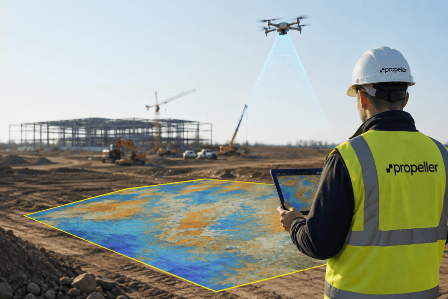
Capture accurate site context
Bring drone capture, LiDAR, design, and site data together in one measurable map.
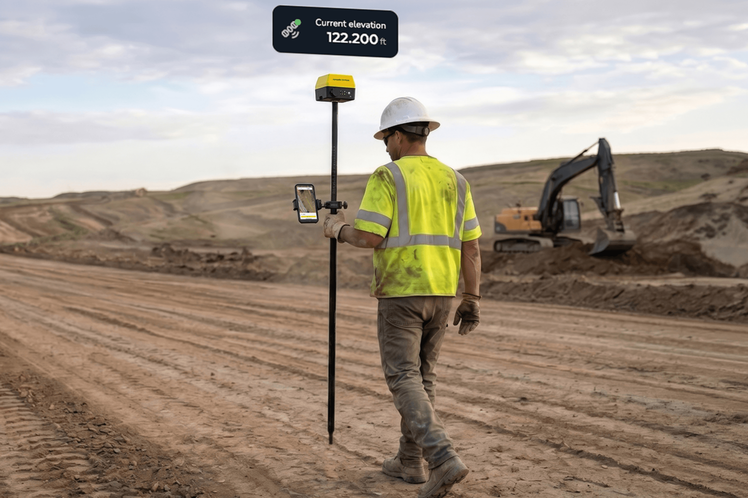
Answer field questions sooner
Check grade, compare work to plan, and document what was built between surveys.
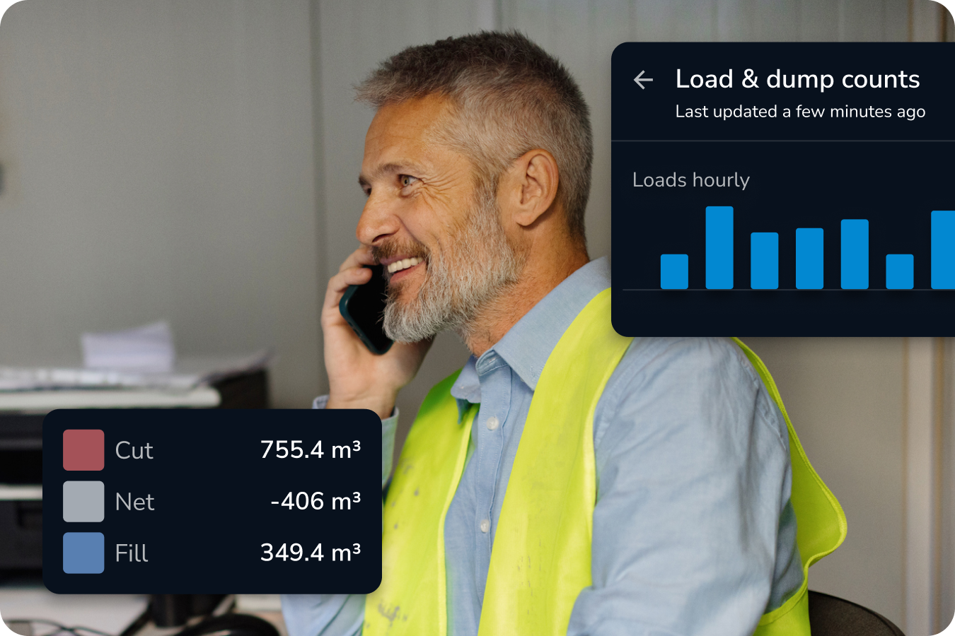
Keep field and office aligned
Share field observations, markups, and progress against the same source of site truth.
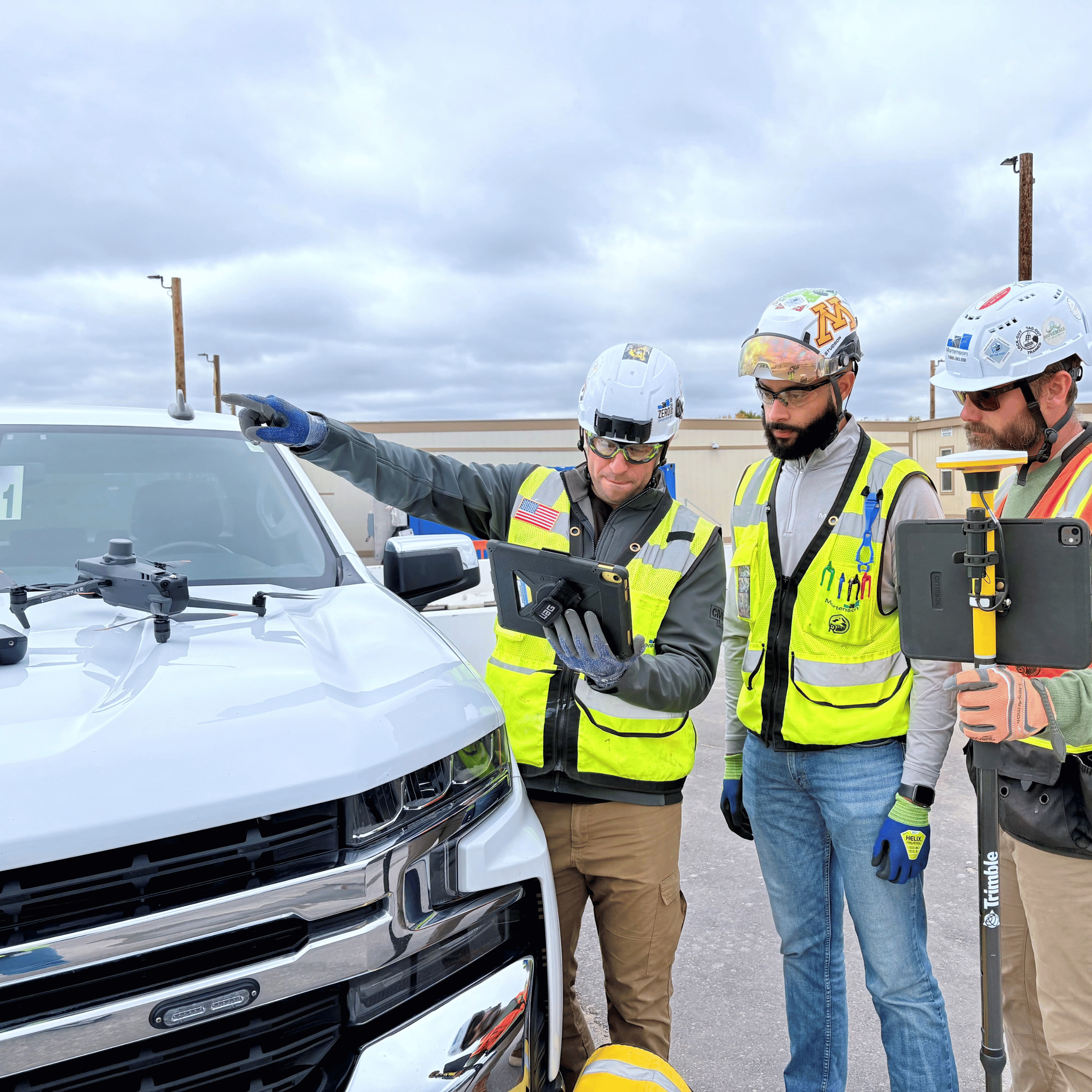
“Don’t buy tech for the features alone. Map your processes to the tech, and be willing to change how you work. That’s where the business impact is.”
Mickey Kocemba
Senior Lean Innovation Manager, Mortenson
Find the workflow that fits
Select your situation. Our team can configure the right processing capacity based on your survey frequency and site needs.
Build a complete drone survey workflow
Connect drone capture, photogrammetry processing, AeroPoints ground control, shared site context, and DirtMate RTK field checks in one workflow. Processing capacity scales to your survey frequency.
Full Survey Pack
For teams that need a complete drone survey-to-field workflow from day one.
Drone capture, photogrammetry processing, AeroPoints ground control, shared site context, and DirtMate RTK field checks. Processing capacity is configured to your survey frequency.
Teams starting or expanding a drone survey program that need a complete, connected setup.
Get more from the drone you already use
Keep your existing capture setup and add photogrammetry processing, a shared site map, AeroPoints, and DirtMate RTK field validation. Processing capacity scales to your survey frequency.
BYO Drone Pack
For teams that already have a drone and want more value from their data.
Add photogrammetry processing, a shared site map, AeroPoints, and DirtMate RTK field validation to your existing capture setup. Processing capacity is configured to your survey frequency.
Existing drone programs that need a stronger connection between survey data, the field, and the office.
Capture and process heavily vegetated site conditions
Use LiDAR capture and LiDAR processing when vegetation, vertical faces, stockpiles, or complex terrain make standard photogrammetry less reliable. The resulting data feeds into the same Propeller workflow for analysis, shared site context, and DirtMate RTK field validation.
LiDAR Pack
For teams working on vegetated or hard-to-capture sites where standard photogrammetry may not be enough.
Specialized LiDAR capture, LiDAR processing, AeroPoints, shared site context, and DirtMate RTK field validation.
Sites with vegetation, vertical faces, stockpiles, or complex terrain where a LiDAR workflow is needed.
Need a lighter starting point or better field visibility?
Not every team needs a new capture or processing workflow. Tell us your current setup, how often you survey, and what field checks you need. We’ll identify a right-sized path using defined processing capacity, shared site context, and DirtMate RTK field validation.
Keep a site record between drone flights
Bring survey context into the field
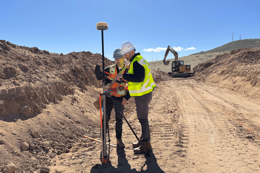
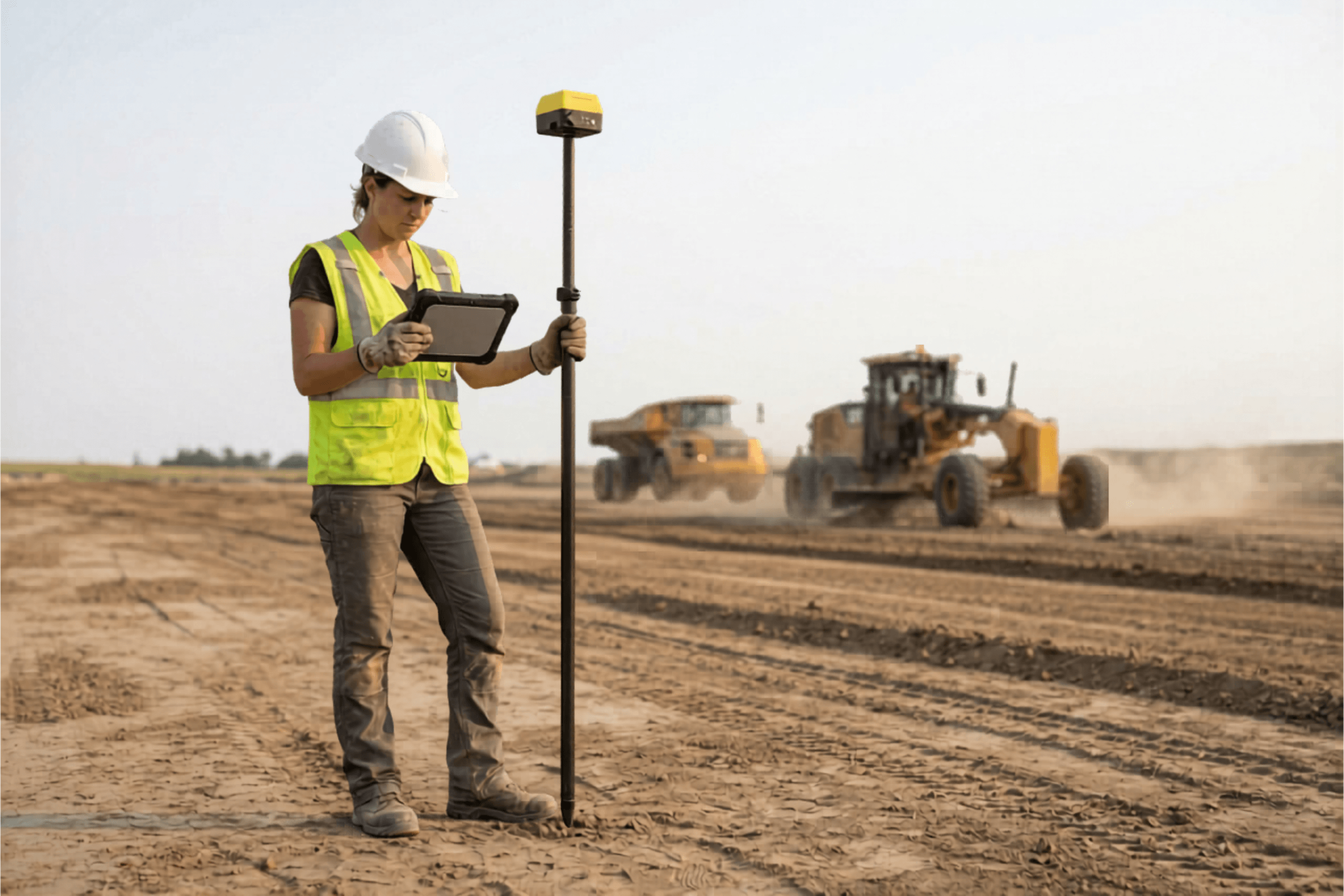
A lot can change before the next survey. DirtMate RTK connects field teams to the survey and design context already in Propeller, so they can answer specific site questions while the work is happening.
- Check grade against design
- Compare work in progress to plan
- Capture markups and site observations
- Document as-builts before leaving site
- Send field context back to the office
The result is a site record that keeps building between survey flights, with field and office teams working from the same context.
Is a base and rover more than you actually need?
Base-and-rover setups are the right tool for many survey workflows. They remain the standard where high-precision positioning across the full site is required.
DirtMate RTK is built for a different set of on-site questions: Is this grade right? Does the work match the design? What was built here? It connects to the survey and design context already in Propeller, so teams can validate work, capture markups, and document as-builts with a setup sized for the check, not the full survey program.
Where each tool belongs in your workflow depends on the work your site runs on. We can help you work that out.
Find the right workflow for your site
Every site has a different starting point. Tell us what you are trying to solve, and we will help you find a Propeller workflow that fits your current setup, survey frequency, field validation needs, and site conditions.
Frequently asked questions
No. If you already have a drone, Propeller can help you get more value from the data and connect it to field workflows. If you need a complete capture setup, we can help you find the right path.
No. Propeller supports teams starting from scratch, improving an existing drone workflow, or adding field validation and shared site context between surveys. We can also help with more specialized survey and complex-site capture needs.
Yes. DirtMate RTK connects supported field checks to the survey and design context in your Propeller site, so teams can check grade, compare work to plan, capture markups, and document as-builts.
No. DirtMate RTK is not a one-to-one replacement for every base-and-rover workflow. It is designed for specific, fit-for-purpose field checks connected to Propeller. We can help you decide where it fits and where another survey workflow is more appropriate.
No. Propeller supports site teams and survey workflows. It does not replace professional survey requirements or the qualified people responsible for them.
Specialized LiDAR capture workflows can support sites with vegetation, vertical faces, stockpiles, or complex terrain. Propeller can bring LiDAR data into the same platform for analysis, comparison, and shared site context. Talk to our team to determine the right capture approach for your site.
Tell us about your current setup, how often you survey, the field checks you need, and the conditions you work in. We will help you find the right starting point.