In earthworks, accuracy is everything. Even a small miscalculation can get extremely costly over the course of a large project. And yet, 80% of contractors believe that at least 20% (and often far more) of their data is bad. So when contractors ask questions about drone survey accuracy, they’re not just interested in specs; they’re interested in results they can trust.
Accurate data means more on-time and on-budget projects, happy clients, and no rework. It means the difference between a profitable project that advances your business and one that you end up paying for.
We know what accurate survey data means to you and your business, so we thought we’d take some time to clear up some commonly asked questions about drone survey accuracy.
How accurate is drone surveying?
One of the biggest questions surveyors have when they start to explore drone surveying options is: how accurate is drone surveying? After all, faster and easier surveys are great—but only if the data is reliable.
Propeller’s PPK workflow has been shown to yield accuracy to 1/10 foot (3 cm), but with less time and hassle than a traditional base and rover.
That said, not all drone surveying is created equal. Several factors can impact drone survey accuracy, so it pays to have a good understanding of how to get the most from your drone surveying program.
What impacts survey accuracy?
From the position of the drone to lens distortion, there are several variables that can impact the accuracy of your drone survey. Here are some of the most common factors to watch for in drone survey accuracy—and how Propeller PPK ensures that you get consistent survey results every time you fly.
Ground control
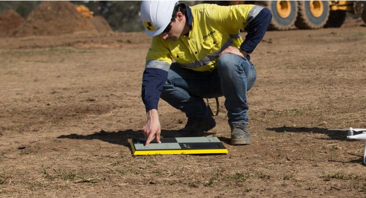
You’ve probably heard the bold claim that drones can get you survey-grade results with no ground control points (GCPs), but surveyors worldwide still recommend using at least one GCP for the highest possible accuracy.
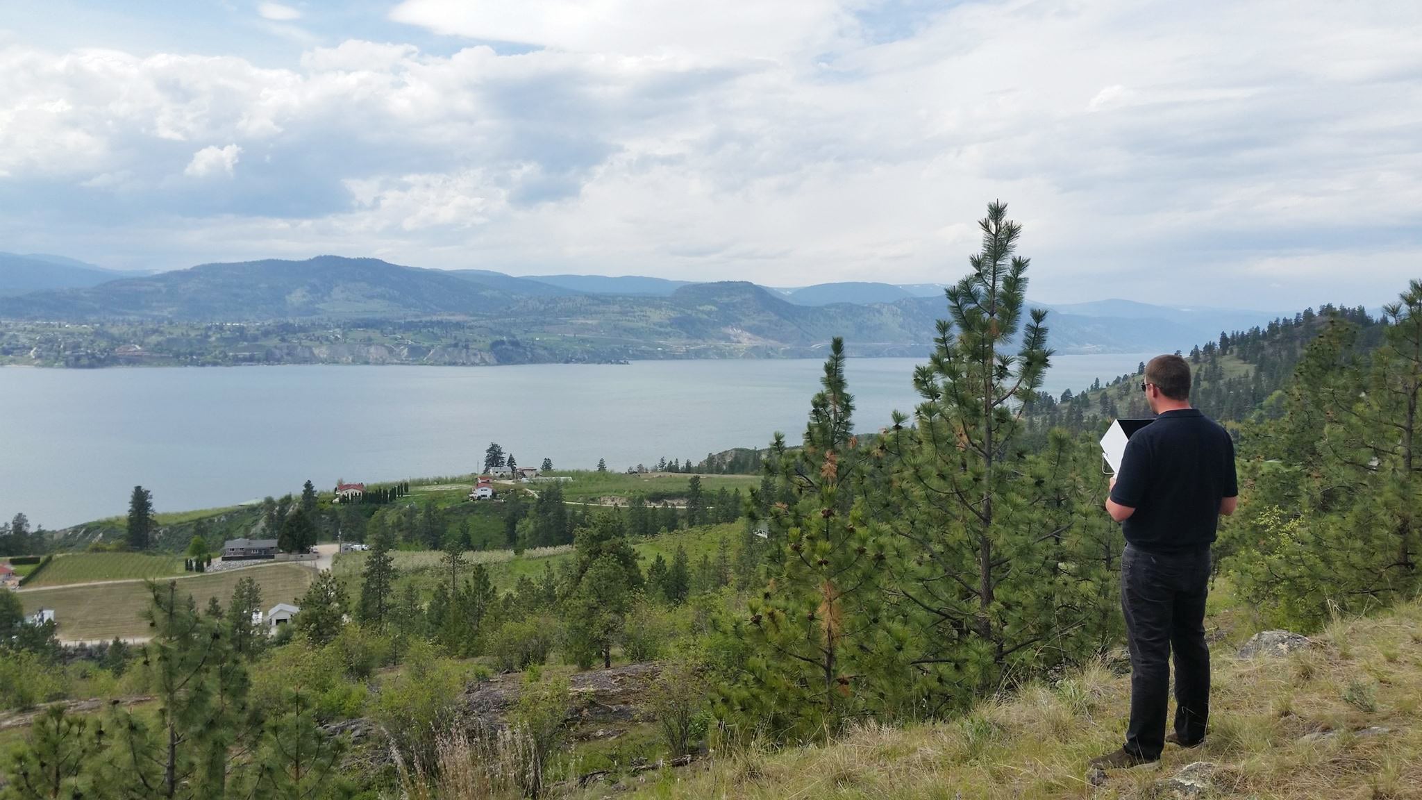
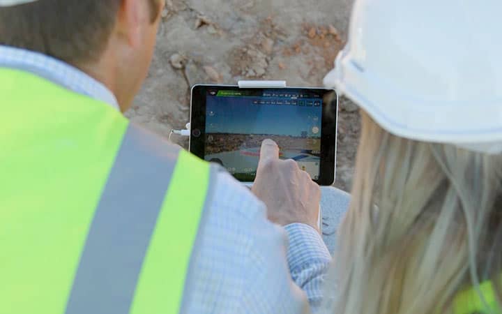
This is easier said than done, especially on sites where thorough GCP coverage simply isn’t possible due to the terrain or the speed of change. Propeller’s AeroPoints make ground control a simple task; they’re a “smart” ground control point that serves as a base station and GCP in one. AeroPoints compare projected geocoordinates from the drone to those of a stationary point on the ground to keep your data anchored to a known position. Rather than walking a site and manually marking GCPs, simply place an AeroPoint on the ground before you fly.
Local coordinate systems
Local coordinate grids are ultra-specific, sometimes covering just an individual site. Some drone surveying workflows can support those “local languages” and others can’t, so check before you commit to a drone program if you’re using a local coordinate system.
AeroPoints are equipped to work on a local grid, so it’s easy to process local coordinate systems without having to “translate” between the base and the drone.
Please note that Local Coordinate Systems and Local Site Survey Benchmark processing options are only supported when processing data sets using AeroPoints with the Propeller or Stratus platforms. If you would like more information, please contact us.
Ground sampling distance
The easiest way to understand ground sampling distance (GSD) is by thinking about image resolution. A picture that’s close-up and in focus has much more detail than a blurry picture, and the same is true for images collected on a drone survey. GSD is the distance between the center point of each pixel in a drone survey, or the size of one pixel on the ground. GSD ensures that drone survey data can be translated into real-world distances and images of worksite terrain.
As a general rule, the lower your GSD, the more accurate your survey. The conventional range is between 1.5 to 2.5cm/px (centimeters/pixel), or .6 to 1 inch. For large-scale applications, where the drone needs to fly higher to capture an entire worksite in a reasonable time or where vertical objects in the field make low flights impossible, Propeller has you covered. High-resolution image sensors combined with the PPK workflow yield a better GSD, more detailed images, and accurate measurements.
To learn more about what makes a good drone camera, check out this post.
Connectivity
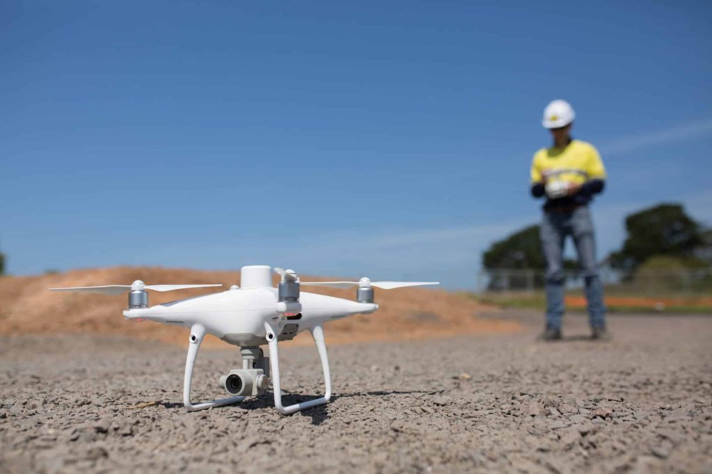
Finally, there’s connectivity. In a real-time kinematic (RTK) workflow, drones must maintain constant connectivity with the base station because the data is processed as you fly. Any loss of signal can compromise data quality and leave you with a less-than-accurate survey.
That’s why Propeller uses PPK, or a post-processing kinematic workflow. Post-processing allows you to survey remote worksites or lose line of sight between the drone and base station without issue, because both units work independently during flight. The results are processed together afterward to ensure the highest possible accuracy with minimal hassle.
The benefits of frequent drone surveying
The best drone surveys are both accurate and fast enough that you can complete them whenever they’re needed.
Fast, frequent drone surveys yield a long list of benefits:
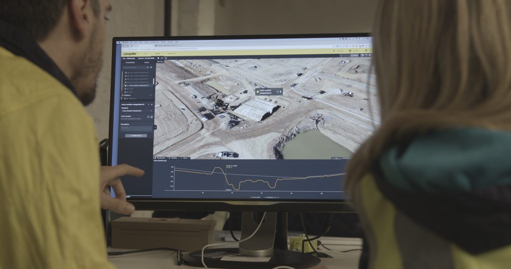
- Maintain project budget and timeline: Regular progress tracking means you always know how you’re progressing against design, so it’s easy to see how much work has been completed and how much is left to go. When you always have an accurate picture in sight, there’s no guesswork required to keep projects on schedule and on budget.
- Reduce downtime: Sending a team to a worksite only to find that they can’t yet proceed gets very expensive, very fast. Frequent surveys give you a bird’s-eye view that reflects real-time progress, so you always know when a site is ready for the next step.
- Prevent disputes: Most disputes arise from miscommunication or misunderstandings about a project, but it’s hard for stakeholders to miscommunicate when they’re all looking at the same easy-to-read survey data.
- Accurate cut/fill and stockpile volumes: Frequent surveys mean you always know how much material you’ve moved and how much work is left to go.