Whether you’re new to drone surveying or are exploring your options to upgrade your existing program, it can feel overwhelming to research all of the available options. On top of hardware and software, there’s ROI, training, adoption, and user experience to consider. And that’s before you determine how to use all that data. To help with that decision, we’ve outlined some of the reasons our customers are happy to call Propeller their drone surveying partner.
Focusing on drone surveying accuracy in the earthworks industry
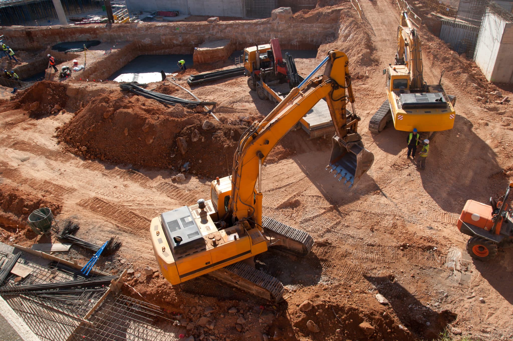
Earthwork challenges are unique, and the needs of earthwork contractors are different from other types of construction. Rather than serving many areas, we’ve focused on being great at just one: moving dirt (earthworks).
As earthwork experts, we understand the importance of accuracy. Being able to confidently communicate the lay of the land on a construction site, cell progress on a landfill, or pit depth of a mining site is critical to operating a successful business. Inaccurate surveys can result in costly rework and mistrust of future work.
Our high-precision tools and interactive 3D mapping workflows support your worksite operations at all levels, with survey-grade accuracy to 1/10 foot. Post-processing kinematics (PPK) is our “secret weapon” at Propeller. It’s not a single technology or piece of hardware, but instead, a workflow that pulls several components together. If you’re not familiar with our PPK workflow, you can read a more in-depth explanation here. Basically, the workflow consists of:
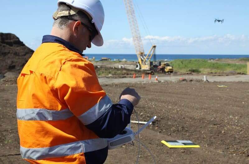
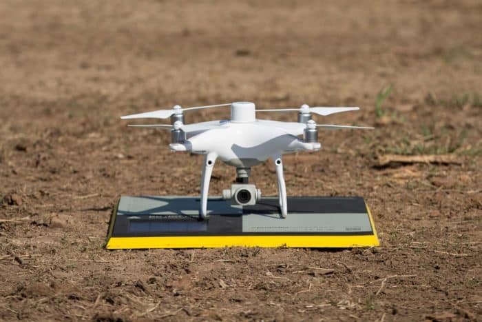
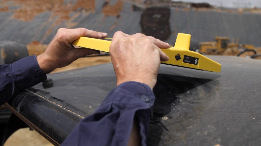
- Placing and turning on your GPS-enabled AeroPoint(s) to use as smart ground control points. They collect positional data from the ground.
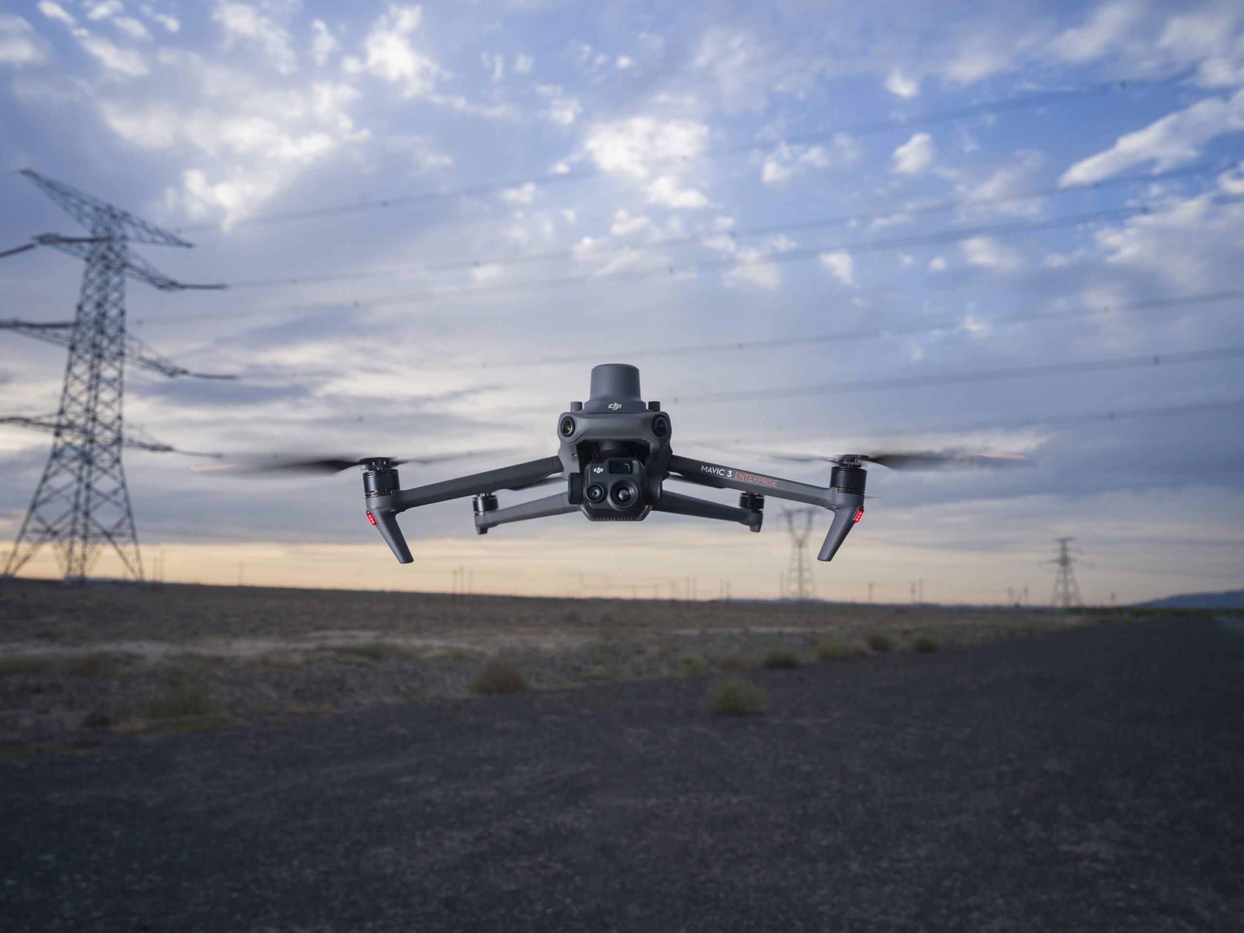
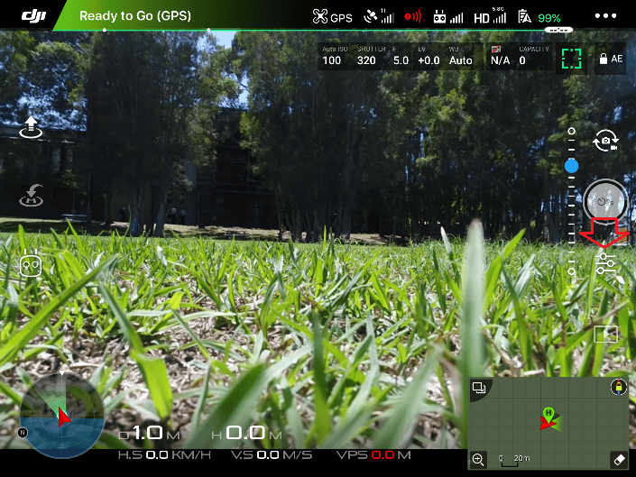
- Flying a PPK-enabled drone (like DJI’s Phantom 4 RTK) on your site to geotag images as they’re captured during flight.
- Uploading your drone and AeroPoint data to the Propeller Platform, where we process them into an actionable 3D map of your site within 24 hours.
When speed and accuracy collide, we put the control in your hands with our unique Quality Assurance Slider feature, which lets you select how strict the Propeller QA controls should be for your worksite.
As you evaluate your options, you may find some drone surveying providers who promote functionality across a variety of industries, spreading themselves too thin by trying to be everything to everyone. However, if you’re in construction, aggregates, mining, or waste management, we’ve spent years becoming experts in the best practices that will ensure your drone surveying program success.

Online customer support at the ready
Our platform and products are top-notch, and so is the support we offer our customers. Our knowledge base help center provides you with a wealth of information from getting started with Propeller, to how to accurately capture and process your data. Furthermore, our world-class customer success team is available to ensure that you get the most value from your drone surveying workflows. Whether you have a quick question, a tech support issue, or survey results that warrant a GIS expert’s eye, we’re here for you.
Propeller also offers automated, QA-checked data processing—which means that you don’t have to do any tedious self-processing or hire an expert to interpret your data. Our system handles it all for you.
Constant product development and refinement
Propeller always looks to improve, and we don’t develop our products in a vacuum. The best products in any industry delight their customers by providing exactly what they need and helping them solve problems specific to their business.
That’s why we listen to our customers’ feedback at every stage of development. By regularly checking in with our customers and interviewing them about how they’re using our products, we’re constantly reimagining how hardware and software solutions can make their lives easier and deliver an improved working experience.
Most recently, we’re pleased with the new generation of smart ground control (AeroPoints) and the game-changing DirtMate system—but we’re just getting started.
We’ve partnered with leading drone manufacturers like DJI and Wingtra to ensure that our PPK workflow is compatible with a wide range of the best drones on the market, providing our customers choice and making it easier to incorporate the Propeller Platform into existing workflows.
Between Propeller PPK and DirtMate, no other solution on the market provides a more complete picture of your worksite operations in near-real-time.
Scale drone surveying as your business grows
Your needs today don’t always predict your needs tomorrow, and a new contract can mean that things change quickly. Propeller is designed to grow with you, without limitations. Other solutions require expensive licensing, local data storage, labor-intensive training, and other limits that can feel restricting.
Propeller’s cloud-based data storage, user-friendly interface, and unlimited users make it easy to scale up or down based on your business needs.