How Mortenson puts site data in everyone’s hands to scale innovation

About the project
At Propeller, we’re proud to partner with some of the most forward-thinking builders in the industry, and Mortenson Construction is no exception. Ranked no. 22 in the 2025 ENR Top 400 Contractors, Mortenson has been shaping skylines and powering infrastructure for more than 70 years. Mortenson purchased Propeller through SITECH Northland, their trusted technology dealer.
As an industry leader, Mortenson brings the same spirit of innovation to its civil infrastructure and renewable energy projects (wind, solar, power delivery, and hyperscale data centers) as it does to commercial construction. Together, Propeller and Mortenson are finding smarter ways to manage survey data and keep projects moving, ensuring that teams on the ground have the tools they need to deliver at scale. Leading that charge is Mickey Kocemba, Senior Lean Innovation Manager at Mortenson, who believes the key isn’t just better technology, but better access to it for everyone.
Scaling innovation across complex worksites
From 200-square-mile wind farms to hyperscale data centers, Mortenson’s work demands solutions that can keep pace with the size and complexity of each project. They’re always looking for ways to build smarter, move faster, and give everyone the data they need to do things right the first time.
Early experiments with LiDAR scanners, drone vendors, and other tech-first tools confirmed what the team already knew: there was a better way to make survey data accessible across the business. Rather than sticking with systems that created bottlenecks or questions about data accuracy, Mortenson leaned into the challenge—a search that led them to Propeller.
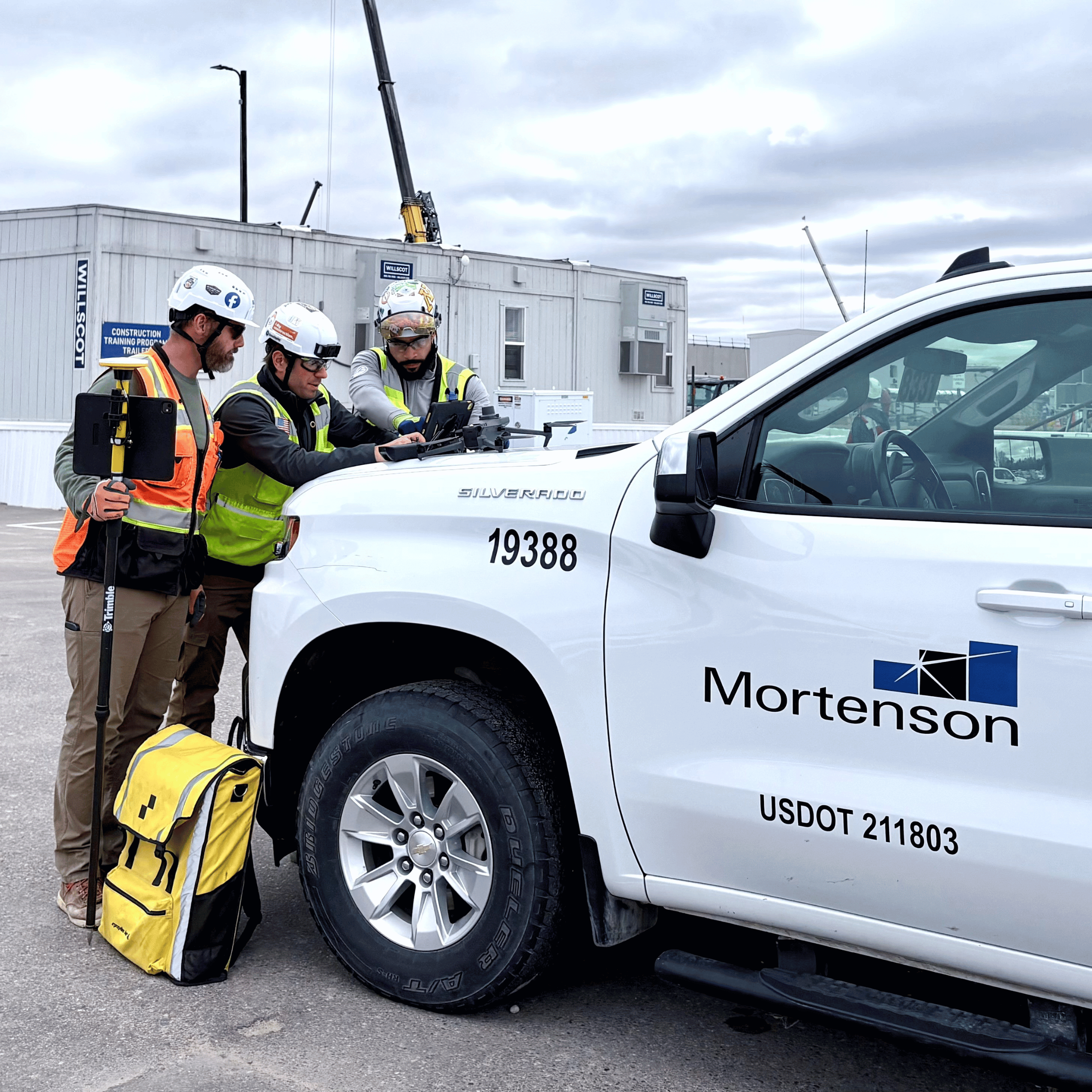
Making drone data accessible for everyone
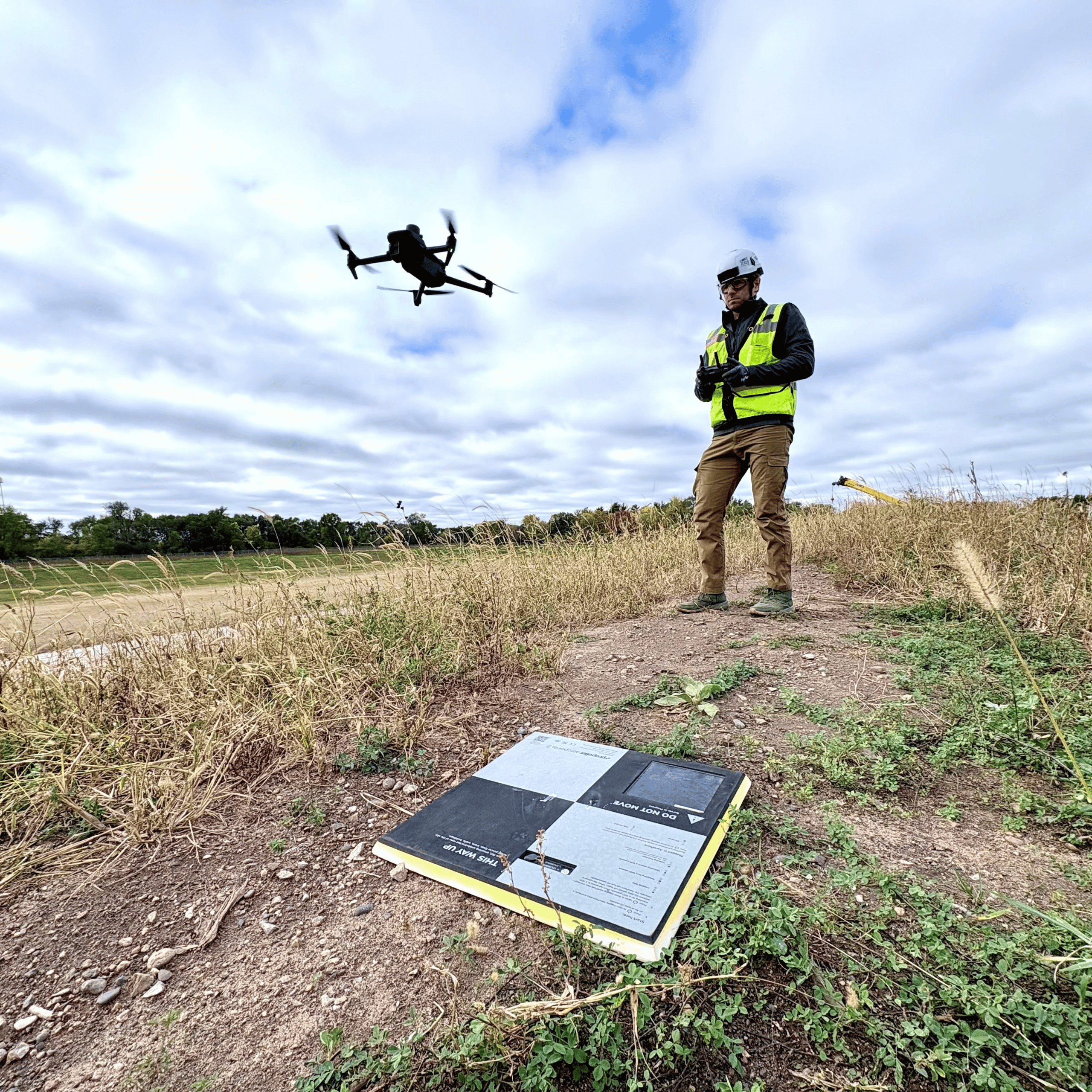
Mortenson set out to build an internal drone program so they could capture data on demand, standardize processing, and make site maps simple enough for everyone to use. After seeing Propeller in action on a few third-party flights, Mickey already knew the value: accurate, consistent surveys delivered via a user-friendly interface.
Today, Mortenson uses Propeller to transform their operational workflows and as a model-based coordination tool. Most meetings have Propeller up on the big screen, providing a shared data set everyone understands.
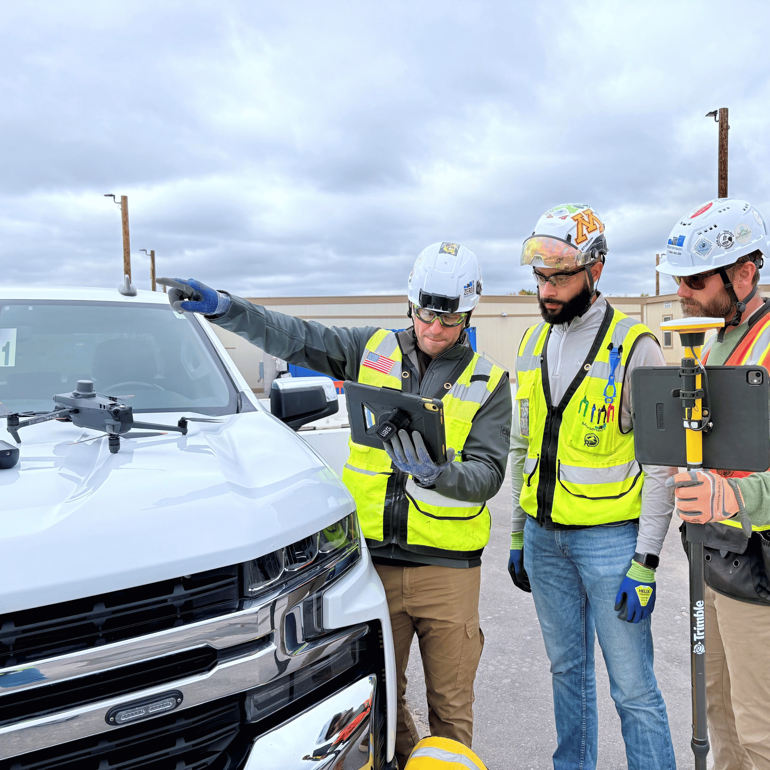
Why Propeller clicked
- Fast adoption: “If you can navigate Google Earth, you can navigate Propeller,” Mickey said. Project managers, estimators, superintendents, and foremen have easily adopted Propeller without needing specialized training to benefit from the data.
- Shared insights: Instead of routing every cut/fill update, design compare, and quantity calculation through a VDC pipeline, Propeller enables team members to quickly access the information they need, supporting informed decision-making on critical project scopes and freeing technical experts to focus on the value they deliver to the business.
- Common ground: Teams can review the same 3D model, using it to ask better questions and generate a shared understanding of what’s happening on-site.
With a low barrier to entry and an intuitive user interface, Propeller has made site data accessible to the entire team. Supervisors, PMs, and estimators can get their own cut/fill measurements and design compares, with no backlog of requests tying up VDC. “The question isn’t ‘Who is using Propeller?’, it’s ‘Who isn’t?’” said Mickey. Nearly everyone has integrated Propeller into their daily workflow, from field crews to environmental and safety teams.

Mortenson’s favorite features and workflows
Hydrology simulations:
On one massive data center project, where it rains “feet at a time,” the team simulates rainfall events against current conditions to validate basin and swale capacity and visualize water-shedding paths, shaping both environmental planning and daily earthmoving decisions. “You show that to an environmental specialist, and they can’t pick their jaw up off the ground,” Mickey said.
Cut/fill and design comparisons
Mickey and the team can now do weekly production tracking for projects moving millions of cubic yards of material, without losing time building surfaces or performing cut/fill calculations.
Project Timeline
With the Timeline tool, Mortenson has a searchable, time-stamped history of the site across every survey, sometimes over the course of years. If a subcontractor question or unforeseen condition arises, the team can quickly review records to ensure clarity and confident decisions.
Site team coordination
From onboarding to logistics and owner updates, teams now orient themselves around a shared 3D model.
WMTS integration
Drones and GIS are an integral part of Mortenson’s workflow. WMTS integration lets them link Propeller’s project hubs directly with ArcGIS field maps
Moving millions of cubic yards faster and more accurately than ever
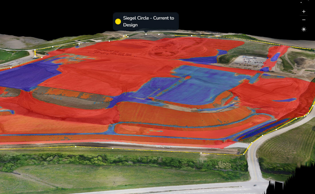
Since partnering with Propeller in 2021, Mortenson’s drone program has scaled massively, with 42 pilots and 16 drones across the U.S. In just a few short years, they’ve increased their survey data processing by over 900%, a testament to their commitment to driving efficiency and innovation on every jobsite.
Together, Propeller and Mortenson have transformed how survey data supports every step of the project lifecycle, from design to delivery. Mickey’s advice to other firms who want to innovate: “Don’t buy tech for the features alone. Map your processes to the tech, and be willing to change how you work. That’s where the business impact is.”
Highlights include
- Hours back every week: Reports that once took a full day per week now take minutes to create and share.
- Field autonomy: Superintendents and Project Managers can generate quantities, cross-sections, and design compares, democratizing data access.
- Better collaboration: 3D site models are now a standard in progress meetings and in the field.
- More predictable outcomes: Hydrological scenario-planning protects work schedules in areas with heavy rainfall.
- Competitive advantage: In proposals for large-scale projects, Propeller helps Mortenson make a splash with their tech-forward coordination and risk management approach.
Ready to give your team the same edge? Put accurate, week-over-week site data in the hands of everyone who needs it. Request a demo today.
Want to know how Propeller can help you?
Learn more about Propeller’s products, pricing, and how to get started on your site.
You might also like

Cross Section Survey in a Matter of Minutes Using Drone Data

How to Use Drone Data to Improve Landfill Performance
