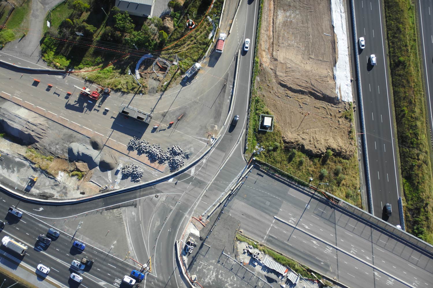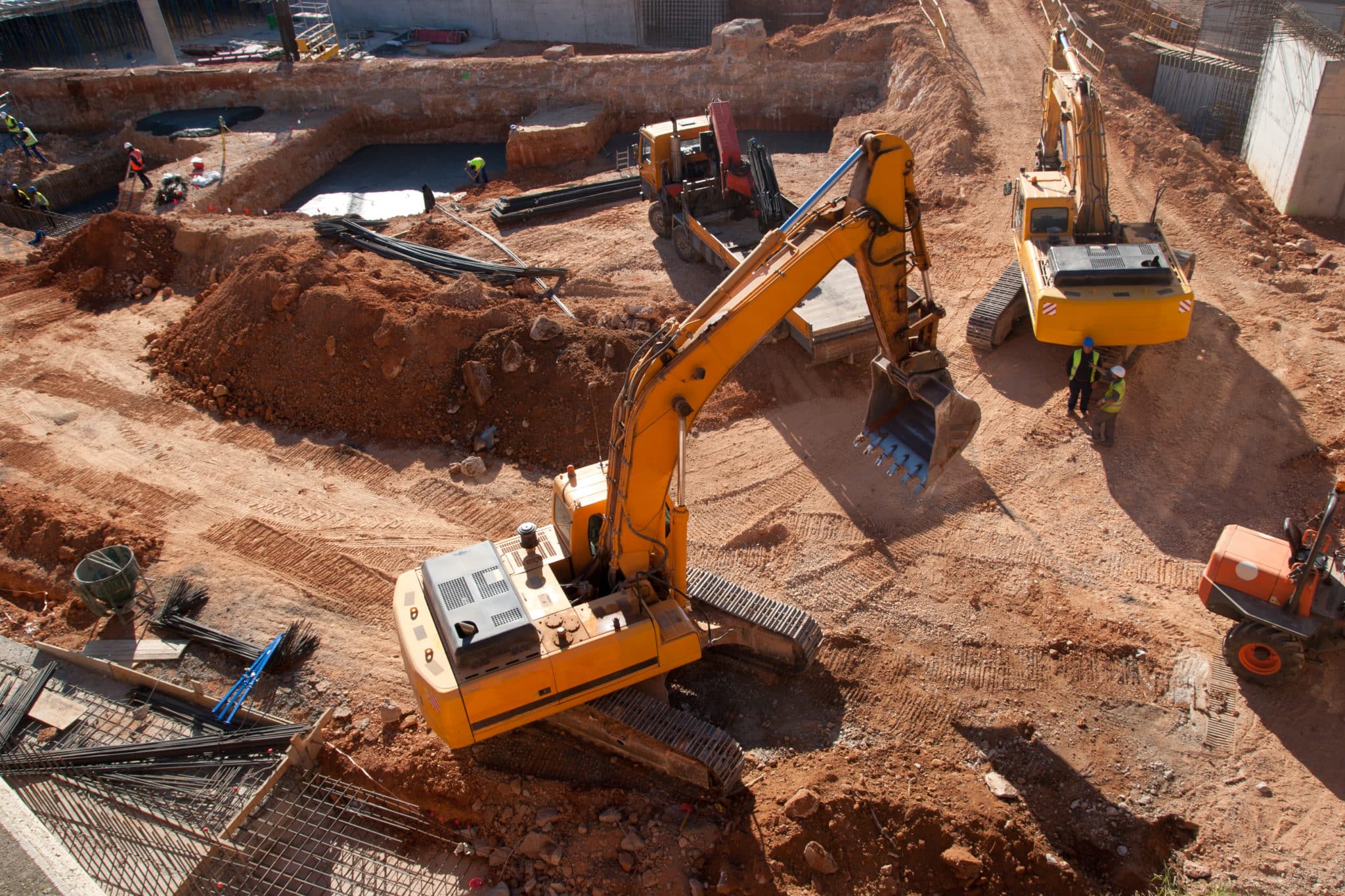
Drone imaging is the process of capturing aerial imagery and visual site data using cameras mounted on drones. It gives construction, earthworks, and mining teams a fast, current view of their entire site from above, without the delays of manual walkthroughs or scheduled site visits. One flight covers the whole site in minutes, giving teams a shared, accurate picture that keeps decisions moving and projects on track.

Drones in construction: A beginners guide
New to using drones in construction projects? Start here. Drones have never been more affordable…