360 walkthroughs: Ground-level site documentation that lives on your map

Read Time: 4 mins
Quick links
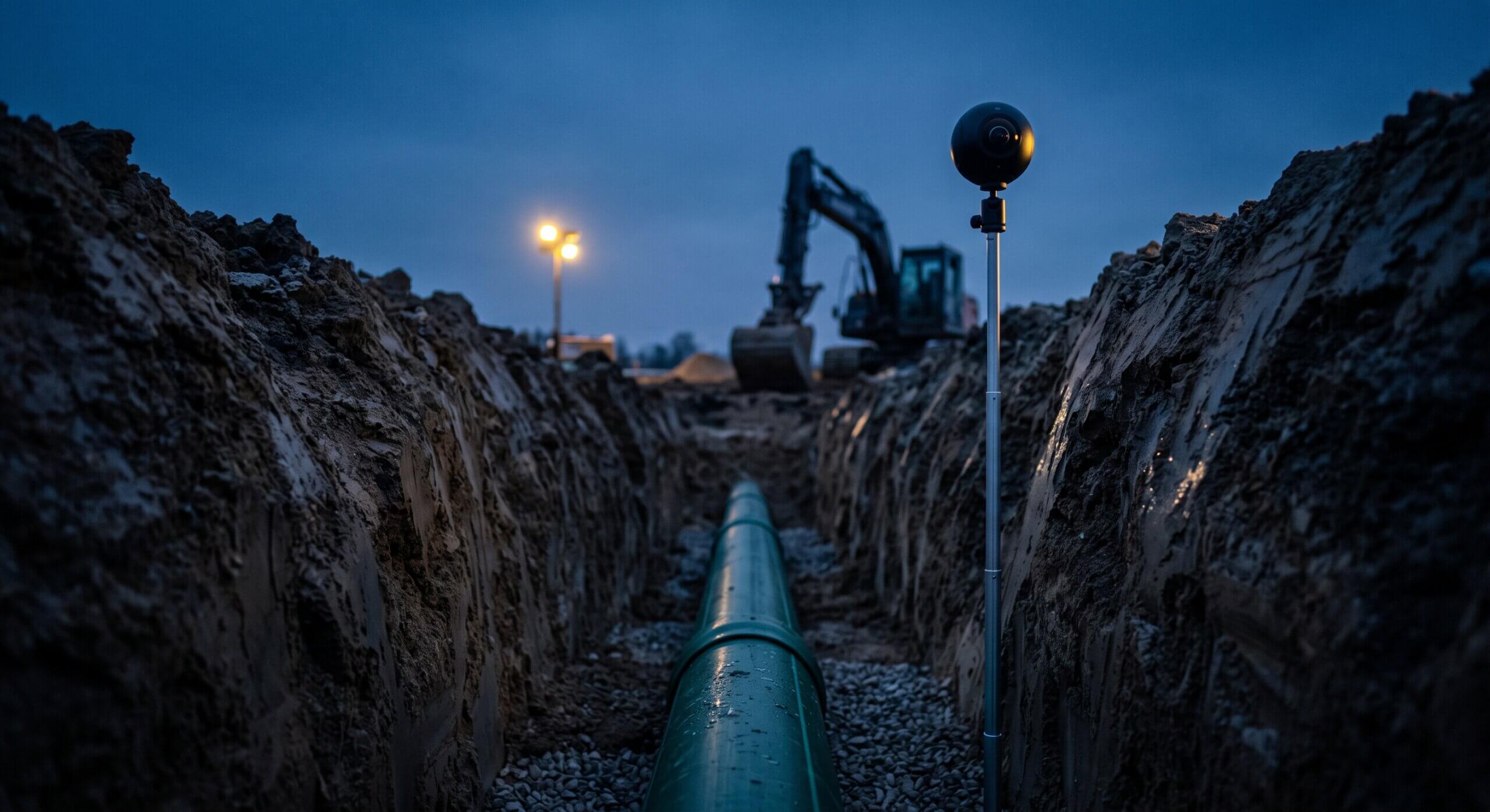
    A 360 camera on a monopod at the edge of an open utility trench with a newly laid pipe at blue hour

    360 Walkthroughs use an Insta360 X5 camera connected to the Propeller mobile app to capture navigable, GPS-anchored ground-level video of a construction site in minutes. Every frame carries a precise location, so the finished walkthrough appears directly on the site map in Propeller, navigable from any device, shareable via link, and permanently timestamped. The tool fills the visibility gap drones can’t cover: trenches, culverts, pipe bedding, and pre-backfill as-built conditions.

    Ground-level, georeferenced site documentation that lives on your map: captured in under 10 minutes.

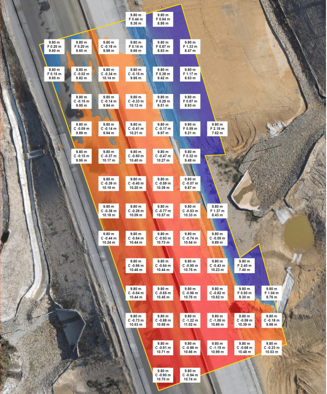
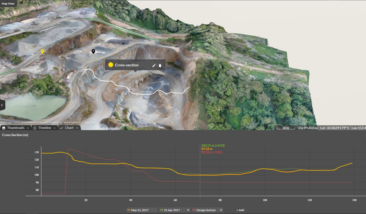
    Drones are excellent at the macro view. Volumes, elevations, site-wide progress, and design comparisons: the aerial picture is hard to beat.

    But drones don’t see into trenches. They don’t capture what’s inside a culvert, what the pipe bedding looked like before you backfilled, or what the site entrance looked like on Day 1 before a single machine moved in. That’s the gap 360 Walkthroughs fill.

    What 360 Walkthroughs are

    360 Walkthroughs let you capture a navigable, georeferenced ground-level video of your site using an Insta360 X5 camera connected to the Propeller mobile app. Walk the site, the camera captures 360° video in every direction, and Propeller processes it into an immersive walkthrough anchored to GPS coordinates on your site map.

    Every frame has a precise location. Navigate to any section from any device. Share a link instead of scheduling a site visit. The walkthrough lives in the same platform as your drone survey data, your measurements, and your design comparisons, not buried in a separate app or a shared drive of photos nobody can find when something goes wrong six months later.

    How it works

    The setup is straightforward.

    1
    Connect your Insta360 X5
    Pair your Insta360 X5 to the Propeller mobile app via Bluetooth. Takes about 30 seconds.
    2
    Start a new walkthrough capture
    Open the app, start a new capture. Name it by area or date so it’s easy to find later.
    3
    Walk the area
    Walk at normal pace, camera pointed in the direction of travel. The camera handles the rest: capturing 360° in every direction automatically.
    4
    Stop, name, and upload
    End the capture, confirm the name, and upload to Propeller from the app.
    5
    Navigate from any device
    Processing typically completes in about an hour. The walkthrough appears on your Propeller site map, navigable from any device, shareable via link.


    10 min walk
    =
    120 min of documentation
    One walkthrough captures what 30 phone photos would, automatically, from every angle.

    Why it matters


    Documenting what drones can’t see
    Trenches, culverts, and pipe runs: complete visual coverage before it’s covered up. Every angle, captured in a single walk.
    Liability protection from Day 1
    Walk the site perimeter before any machine moves in. Timestamped, navigable, and anchored to your map for the life of the project.
    As-built before it’s buried
    10 minutes before backfill creates a permanent, navigable record of pipe bedding, installation condition, and the surrounding site.
    Subcontractor accountability
    Georeferenced, timestamped walkthroughs answer disputes with something you can actually show, not a folder of unlabelled phone photos.


    Documenting things a drone can’t

    Trenches, pipe runs, culvert crossings, areas under structures, tight corridors: these are the blind spots in every drone survey. A walkthrough captures them completely. Because the camera records from all angles simultaneously, the risk of missing something you’ll later need is near zero.

    Liability protection that costs almost nothing

    Walk the site perimeter on Day 1, before any machinery moves in. That single capture is timestamped, georeferenced, and navigable: your baseline record for every adjacent road, neighboring property, and site boundary condition for the life of the project. When a damage claim comes in six months later, you have something you can actually show.

    As-built documentation before it’s buried

    Once a pipe trench is backfilled, it’s gone. A 10-minute walk before you cover it creates an immersive, georeferenced record of the pipe bedding, the installation condition, and the surrounding site. Two phone photos can never replicate this, especially when a reviewer needs to navigate to a specific section months after the fact.

    Remote review and subcontractor accountability

    For project managers who can’t physically visit every site, a walkthrough link is more useful than a site visit request. The reviewer navigates to the section they care about, from their desk, without anyone scheduling a drive. Georeferenced, timestamped walkthroughs also answer subcontractor disputes with something you can actually present.

    What 360 Walkthroughs are not

    A few things worth being clear about before you evaluate this for your team.

    360 Walkthroughs are:
    Navigable, GPS-anchored visual documentation
    Ground-level coverage for what drones can’t see
    Pre-backfill as-built capture
    Shareable from any device via link
    Not the right tool for:
    Measurements or dimensions — use Handheld Scanning instead
    Road corridor capture at driving speed (on the roadmap)
    Non-Insta360 X5 cameras (not officially supported)
    Precise indoor geolocation — GPS signal weakens inside structures

    How it fits with your drone surveys

    360 Walkthroughs aren’t a replacement for drone surveys. They’re the ground layer that drones can’t provide.

    Your drone captures the aerial picture: volumes, grade, progress against design. The walkthrough fills in the ground-level story: what the trench looked like, what the subgrade condition was, and what was on site on a given day. Both live on the same Propeller map, without switching platforms or hunting through a shared drive.

    For teams that don’t yet run drone surveys, walkthroughs can also work as a starting point. The walkthrough path georeferenced to a satellite basemap in Propeller. You don’t need a processed drone survey to start capturing site documentation value.

    Pricing

    360 Walkthroughs are a paid add-on to the Propeller platform, priced on a credit-based model. One credit covers approximately 10 minutes of walking video. Unlimited per-device plans are also available for teams doing frequent captures. The Insta360 X5 Starter Bundle is available directly through Propeller. Contact your Customer Success Manager or reach out to the team to get access and find the right option for your workflow.

    Getting started

    The fastest path to your first walkthrough is a conversation with the Propeller team. If you’re evaluating for a specific use case (as-built documentation, subcontractor accountability, or pre-construction baseline) the team can help you figure out the right capture plan before your first walkthrough. For the how-to guide, the Propeller help center has step-by-step setup for the Insta360 X5 and your first capture.

    Quick links

      Related articles

      A Case Study: The Journey From Simple Drone Surveys to Worksite Management (Part Three)

      Trimble + Propeller Integrated Sustainability is using Trimble Stratus, powered by Propeller. Trimble, the global leader in positioning…

      Drones for Good: How Deakin University Uses Propeller to Monitor Australia’s Shorelines

      Deakin University is a public university in Geelong, Australia, dedicated to changing the world through programs…

      Will Drones Replace Surveyors?

      From HAL in 2001: A Space Odyssey to The Terminator, robots have been the subject of conflicted feelings…

      Ready to learn how Propeller can power up your worksite?

      We’re happy to show you how Propeller can power your worksite, and boost productivity.

      Related articles

      Cross section survey in a matter of minutes using drone data

      With the power of drone-captured data and the Propeller Platform, surveying cross sections becomes as…

      How to Use Drone Data to Improve Landfill Performance

      If you manage a landfill, you may have been wondering how you can use drones…

      How to Collaborate Better Using Drone Data and the Propeller Platform

      Keeping everyone on your worksites up to date with the best and most recent information…