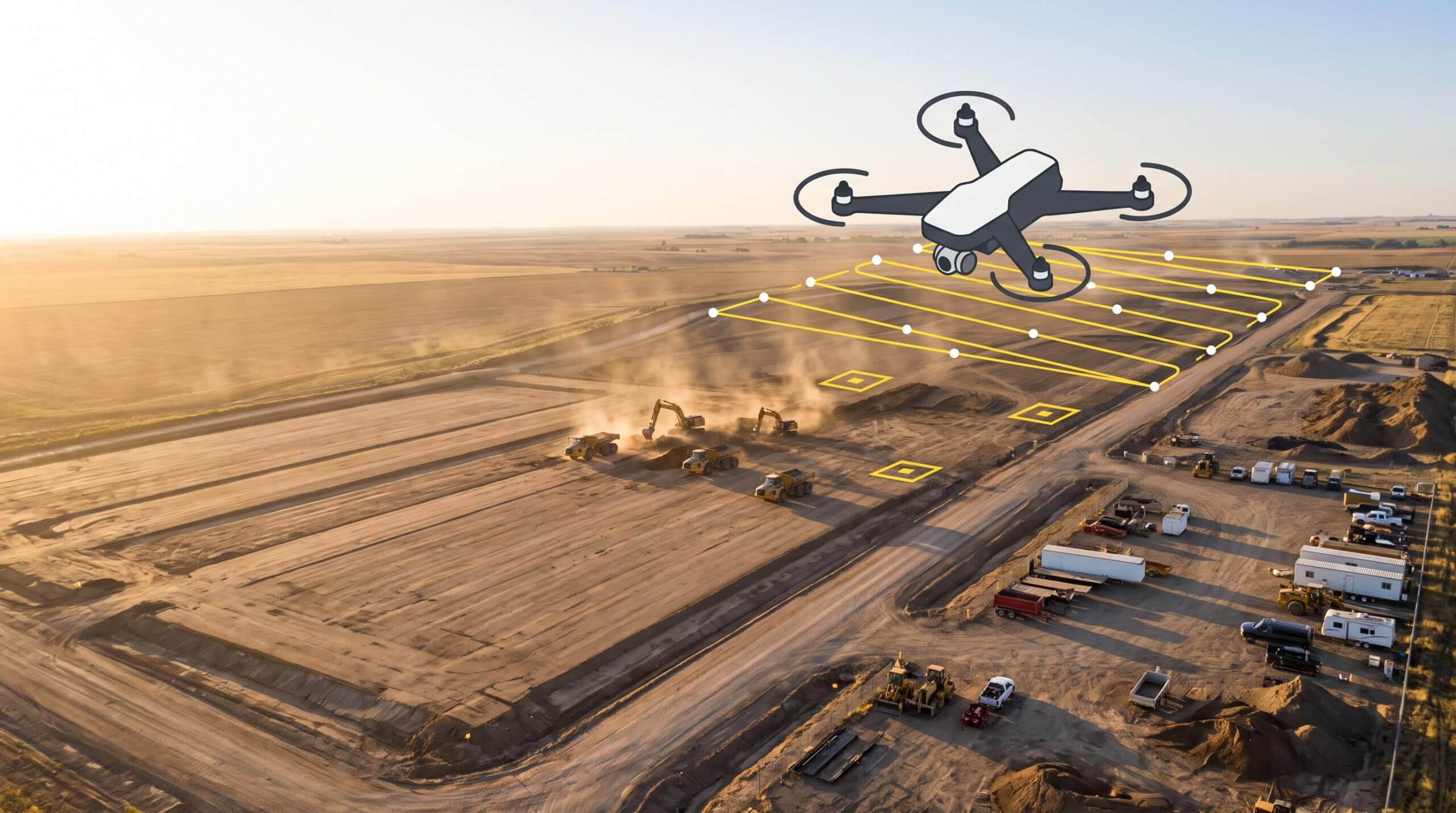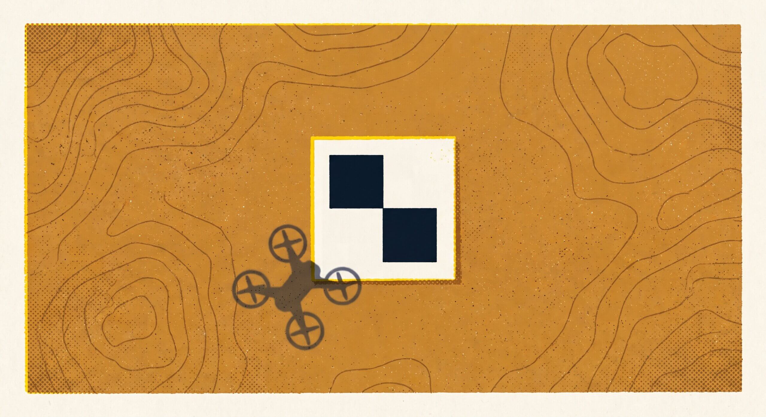
Drone surveying captures site-wide elevation data in a single flight, typically processed into a centimeter-accurate surface model within hours of landing. A UAV equipped with PPK or RTK positioning flies a pre-planned grid, and ground control points or onboard correction data anchor the model to real-world coordinates. The output, accessible in a platform like Propeller, supports volume calculations, design comparisons, progress tracking, and stockpile reporting without a survey crew mobilisation.

Optimizing drone missions: Best practices from the Propeller hardware team
Power Hour is an exclusive event for Propeller customers where we tackle technical challenges, share…