Manual stockpile surveys vs. drone surveys: A real cost comparison

Read Time: 3 mins
Quick links
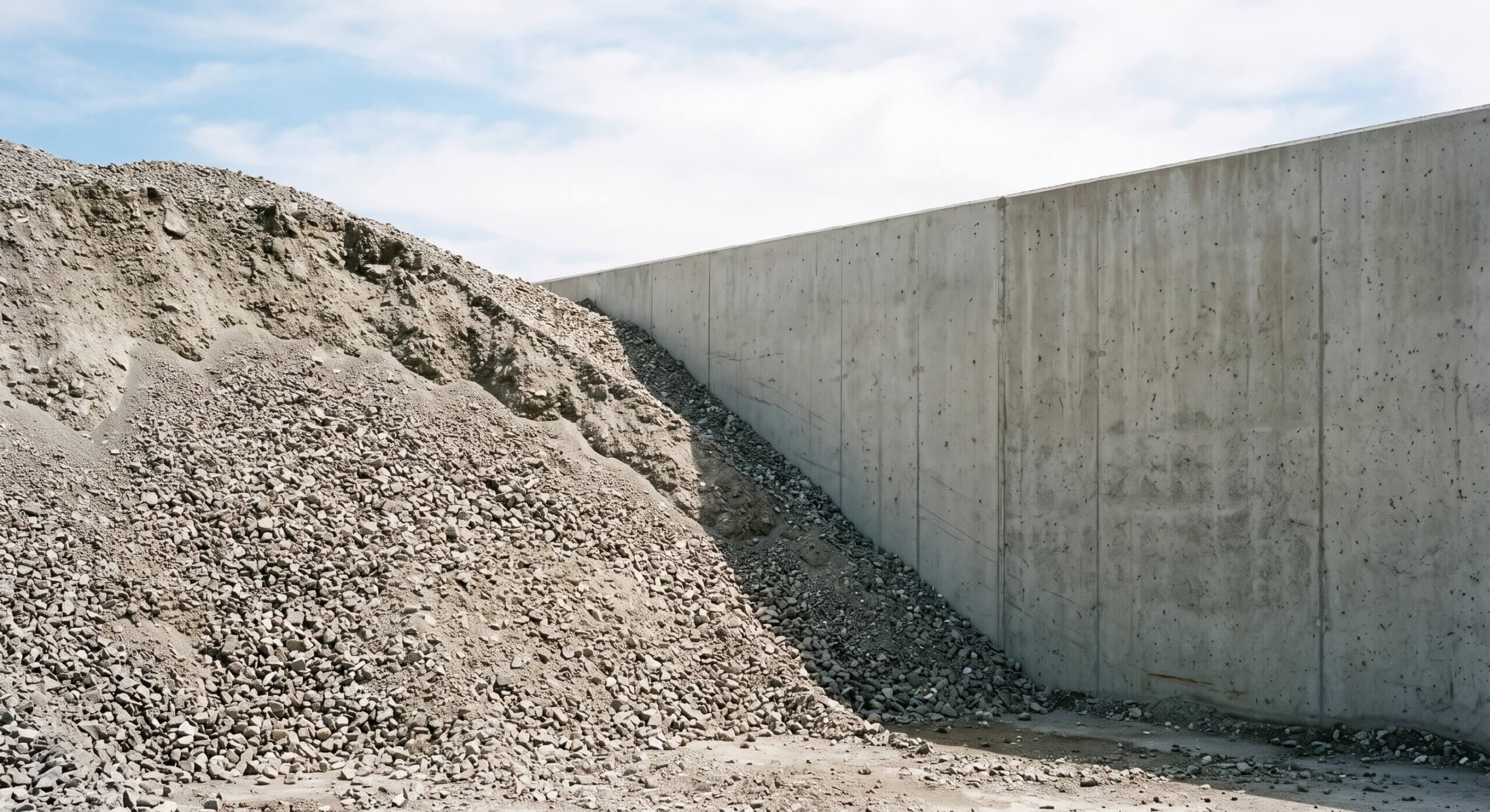
    A diagonal dividing line where disturbed, scuffed ground meets clean untouched gravel

    Drone stockpile surveys can replace manual methods for routine inventory work, delivering 97–99% accuracy on par with a traditional surveyor while taking under an hour of flight time, keeping everyone off the pile, and turning around a report within 24 hours. The piece lays out an honest side-by-side of visual estimates, traditional surveyors, and drone workflows across time, accuracy, safety, and cost, using Cemex in Rüdersdorf as proof: capture time dropped from four hours to one, with inventories precise enough to satisfy a formal audit.
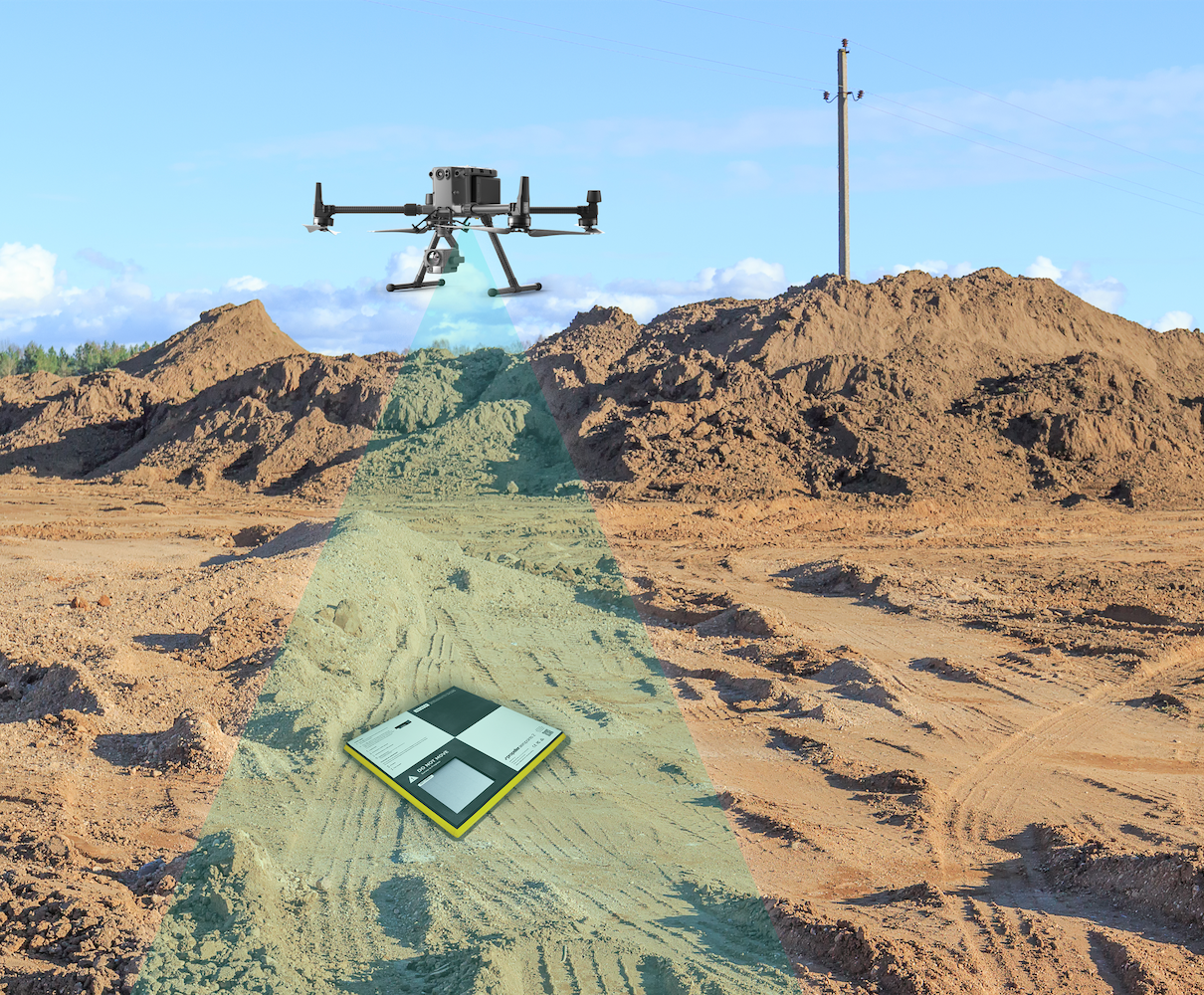
    Yes, for most stockpile inventory work, drone surveys can replace manual methods. A drone flight paired with high-precision ground control delivers volumes within 97–99% of true, on par with a traditional survey, and it does it in a fraction of the time and without putting anyone on the pile. Where a licensed surveyor might spend one to two days on a site, a drone flight takes under an hour and a finished report lands within 24 hours.

    The real question is not whether drones can do it. It is what each method actually costs you in time, accuracy, safety, and the ability to defend the number. Here is the honest side-by-side.

    Three ways to measure a stockpile, compared

    Visual estimate Traditional surveyor Drone + Propeller
    Time on site Minutes 1 to 2 days Under 1 hour flight
    Time to result Immediate, but a guess Days, after processing Report within 24 hours
    Accuracy Roughly ±10–20% High, but point-limited 97–99% of true volume
    Safety Person walks the pile Person walks the pile No one on the pile
    Practical frequency Anytime, low value Monthly, quarterly, or annually (cost-limited) Monthly or more, self-serve
    Reporting Napkin math Static file, one owner Shareable, timestamped, auditable

    The visual estimate: fast, free, and expensive

    Eyeballing a pile costs nothing and takes seconds, which is exactly why it is still common. The problem is the error. A visual estimate can drift 10 to 20% from true, and on a stockpile that carries real money, that gap is not a rounding error. At $6 to $7 per ton, a 15% miss on a 50,000-ton pile is thousands of tons unaccounted for, which is a number no finance team wants to explain. It works for a gut check. It does not work for your books.

    The traditional surveyor: accurate, but slow and scarce

    A licensed surveyor with a GPS rover gives you genuinely accurate numbers, and for many sites that has been the gold standard for years. The trade-offs are time and access. A full manual survey can tie up a surveyor for one to two days, which means it happens monthly, quarterly, or in some cases only once a year, because the cost of doing it more often does not pencil out.

    That was the situation at Cemex in Rüdersdorf, Germany, where stockpile inventories were run annually by external providers, a process the team described as laborious and costly. Infrequent surveys also mean the number is stale the moment it is filed, and every walk-up survey still puts a person on a steep, unstable pile.

    The drone survey: surveyor-level accuracy, without the wait

    A drone flight closes the gap between the two. With ground control from AeroPoints or a PPK drone mapping workflow, you get 97–99% accuracy without a base station on site, and the processing is handled for you so you are not stuck babysitting point clouds. From there, repeatable volume calculations run on the Propeller Platform, and the output is a clean, shareable, timestamped report rather than a file locked on one person’s laptop.

    For Cemex, that meant capture time dropped from about four hours to roughly one, with processed data back within 24 hours, and inventories precise enough to satisfy a formal audit requirement.

    “Thanks to Propeller, our inventories are now extremely precise, ensuring audit integrity.”
    — Friedrich Bayer, Division Manager, Cemex

    The cost that does not show up on the invoice

    The obvious cost of a manual survey is the day rate. The bigger cost is everything the low frequency hides. When you can only afford to measure quarterly, you spend three months making decisions on a number that is already drifting. Overbuilt piles tie up cash, undercounted piles surprise you at reconciliation, and disputes come down to whoever has the most defensible record.

    Drone surveys change the math by making frequent, accurate measurement affordable. Monthly becomes normal, self-serve access means plant managers pull their own numbers instead of waiting, and every survey is a timestamped record you can hand to an auditor. That is why teams in aggregates and mining increasingly treat inventory accuracy as a financial control, and why offloading the heavy lifting to a proven survey processing pipeline is what makes that frequency sustainable.

    So, can drones replace manual stockpile surveys?

    For routine stockpile inventory, yes. A drone workflow matches surveyor-level accuracy, removes the safety risk of walking piles, and makes monthly measurement affordable in a way manual methods never could. Traditional survey still has its place for the highest-precision as-built work, but for keeping inventory accurate, current, and defensible, the drone survey wins on every line that matters. Track how each pile changes between captures with progress tracking and the number on your books stays as current as the site itself.

    Quick links

      Related articles

      Cross section survey in a matter of minutes using drone data

      With the power of drone-captured data and the Propeller Platform, surveying cross sections becomes as…

      How Haskell Uses Propeller to Manage Contractors on a Complex Worksite

      Haskell provides engineering, design, and building solutions for industrial, commercial, government, and civil infrastructure markets.…

      How Colorado-based Lange Land is Leveraging Drone Data to Check Everything in Between

      Established in 2012, Lange Land Surveys (LLS) is a full service land surveying company in…

      Ready to learn how Propeller can power up your worksite?

      We’re happy to show you how Propeller can power your worksite, and boost productivity.

      Related articles

      Drones for Good: Propeller Helps Charity Organization in Kenya Survey New Development Site

      One of Propeller’s customers has recently proven that drones are not only delivering numerous commercial…
      Drone pilot in hi-vis flying a drone next to a crane, with an AeroPoint on the floor.

      Things To Know About Ground Control in Drone Surveying

      Ground control is the go-to option for turning drone data into highly accurate, survey-grade models.…
      DJI M4E flying in the sky

      Propeller’s Drone Guide: DJI Solutions for Commercial Operations

      At Propeller we love testing new drone hardware and we are processing hundreds of drone…