Resource Center

Real stories, helpful guides, and the latest from the field.

Two translucent topographic surfaces layered slightly out of alignment in cool blue and warm amber
Featured article

Why CAD overlays fail: File formats, site grids, and elevation errors

A technical walk through why design overlays shift and heatmaps turn one color, covering the four conditions every comparison must share, what each civil file format can and cannot tell you, and how to validate alignment before it becomes field instructions or closeout evidence.

How Haskell Uses Propeller to Manage Contractors on a Complex Worksite
Read time: 3 mins
Announcing $10 Million in Series A Funding to Fuel Expansion and Growth
Read time: 2 mins
How to Collaborate Better Using Drone Data and the Propeller Platform
Read time: 5 mins
How to Collect Quality Drone Data – Part 4: Long Corridors
Read time: 3 mins
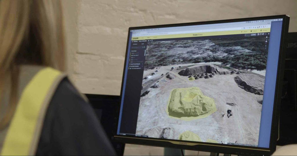
Beyond Reporting on Stockpiles: What Else You Can Measure With Drones and Propeller’s Volumetric Tools?
Read time: 8 mins
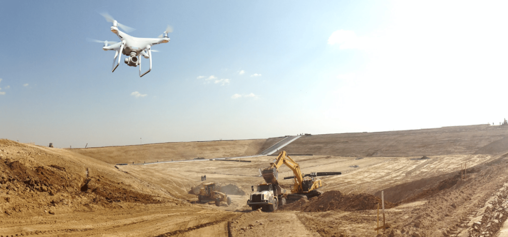
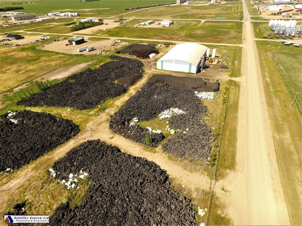
How to Use Drone Data to Improve Landfill Performance
Read time: 6 mins
How to Collect Quality Drone Data—Part 3: Walls, Faces, and Overhangs
Read time: 3 mins
Local Grid Explained: How Propeller Can Help You Deliver Your Site Data in Local Coordinates
Read time: 7 mins
How Do Drones Collect Quality Data – Part Two
Read time: 3 mins
It’s Not What You Think: The Real Reason Why Propeller Only Sells AeroPoints in Sets of 10
Read time: 7 mins
Drone Data Guide: Capturing Bare Earth
Read time: 4 mins
How Drone Data Can Make Your Next Earthwork Project a Success
Read time: 5 mins