Resource Center

Real stories, helpful guides, and the latest from the field.

Two translucent topographic surfaces layered slightly out of alignment in cool blue and warm amber
Featured article

Why CAD overlays fail: File formats, site grids, and elevation errors

A technical walk through why design overlays shift and heatmaps turn one color, covering the four conditions every comparison must share, what each civil file format can and cannot tell you, and how to validate alignment before it becomes field instructions or closeout evidence.

Introducing Trimble Stratus: Powered by Propeller
Read time: < 1 min
How to Use AeroPoints to Survey a Large Site
Read time: 4 mins
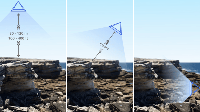
Using Drone Data to Visualize and Measure Coastline Erosion
Read time: 3 mins
Our Global SITECH Partners
Read time: 2 mins
Five Ways the Propeller Platform Will Improve Your Aerial Survey Inspections
Read time: 3 mins
A Surveyor’s Guide to Drones: How to Get the Job Done Faster Without Compromising on Accuracy
Read time: 4 mins
A Surveyor’s Guide to Drones: Selecting the Drone, Camera, and Licenses (Part 1)
Read time: 6 mins
AeroPoints Help NOAR Technologies Bring Accurate Ground Control to AEC
Read time: 3 mins
Relative Accuracy Test: AeroPoints vs. Total Station
Read time: 2 mins
A drone pilot stood holding an Aero Stencil.
Marking Semi-Permanent GCPs with AeroPoints and AeroStencils
Read time: 3 mins
Cross section survey in a matter of minutes using drone data
Read time: 2 mins
Announcing Our Official Collaboration with Trimble
Read time: 2 mins