The better way to share construction site data with your team

Read Time: 5 mins
Quick links
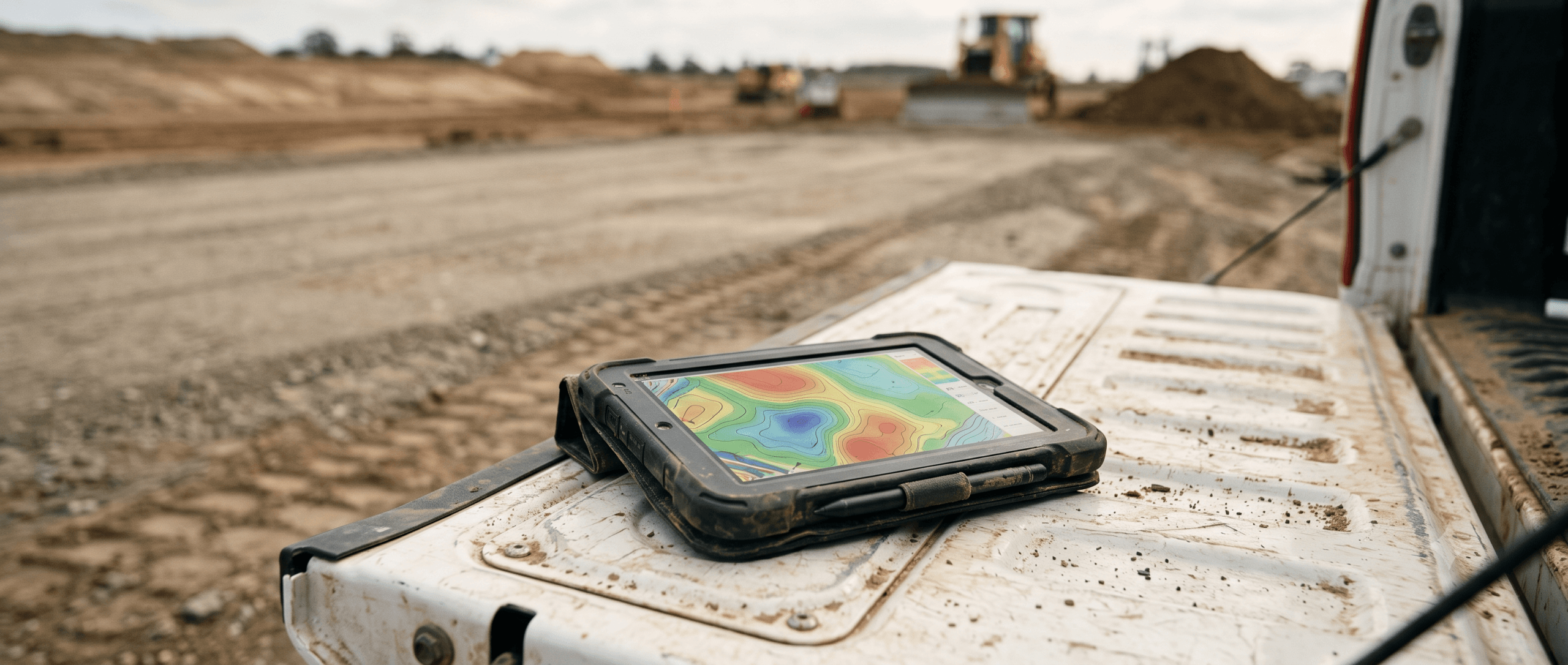
    Rugged tablet on a work truck tailgate displaying a construction site map at an active earthwork site

    Sharing construction site data still happens over email chains, USB drives, and screenshots in group texts for a lot of teams, and that leaves everyone working from different versions of the site. This guide breaks down where those common sharing methods fall short, what good actually looks like, and how one shared map keeps the field, the office, and ownership aligned on the same current view. The payoff is simple: less rework, faster decisions, and site data everyone can access and actually understand.
    Picture the last time someone on your crew needed the latest site map. Odds are it involved a text thread, a blurry screenshot, and a follow-up call to figure out which version was current. It works, sort of, right up until it doesn’t. A number gets misread, an old file gets forwarded, and suddenly two people are building from two different pictures of the same site. Sharing site data is one of those everyday tasks that feels minor until a mix-up costs you a day of rework. The good news is that getting it right comes down to workflow more than technology. Here is what the messy version looks like, and how to move your team to something everyone can trust.

    Why sharing site data is harder than it should be

    On paper, sharing site data sounds easy: capture what is happening on site, send it to the people who need it, done. In practice, construction data is big, visual, and constantly changing, which is exactly what email attachments and phone screens handle worst.

    A drone map, a volume report, or a surface comparison is not a quick snapshot you glance at. It is a rich, high-precision picture of the whole site that people need to zoom into, measure against, and compare over time. Flatten that into a screenshot and you lose everything that made it useful. Bury it in an email chain and half the team never sees the latest version. This is a daily reality on most construction projects, where conditions shift faster than files can be passed around.

    The deeper problem is versioning. When data lives in inboxes, drives, and text threads, there is no reliable answer to a simple question: which one is current? That uncertainty is where rework, disputes, and slow decisions come from.

    The usual ways teams share site data, and where they fall short

    Most teams land on one of a handful of sharing habits. Each one works in the moment, and each one creates its own headache down the line.

    • Email attachments: fine for a single file, but versions pile up fast, and the latest map is only ever as current as the last person to hit send
    • USB drives and hard drives: they move large files around, but a drive sitting in someone’s truck is little use to the office, and it is one drop away from lost data
    • Screenshots in group texts: quick and easy, but a flattened image strips out scale, measurement, and detail, so no one can actually work from it
    • Shared folders and cloud drives: better for storage, but a folder full of exports still leaves people hunting for the right file and guessing which is newest
    • Standalone reports: useful for a moment in time, but a static PDF is out of date the moment the site changes again

    None of these are wrong, exactly. They are just built for sending files, not for keeping a whole team aligned on a site that changes every day.

    What good looks like when sharing site data

    So what does good actually look like? When site data sharing works, a few things are true at once.

    • Everyone works from the same current view: there is one place the whole team goes for the latest site data, so no one is guessing which file is newest
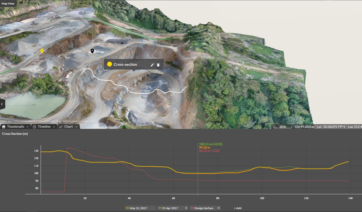
    • The data stays measurable: people can zoom in, compare surfaces to design, check a volume, and pull the numbers they need, rather than squinting at a flat image
    • Access is effortless: sharing is as simple as sending a link, and it opens on any device, whether someone is at a desk or standing in the middle of the site
    • It updates automatically: as new captures come in, the shared view reflects them, so the map keeps pace with the site

    Hit those four and sharing stops being a chore. The right data is always right there, so your team spends its energy on the work instead of chasing the latest file.

    How Propeller makes sharing site data simple

    This is exactly the gap Propeller is built to close. Instead of scattering site data across inboxes and drives, Propeller brings your survey data, site maps, and machine data into one platform where the whole team works from the same map.

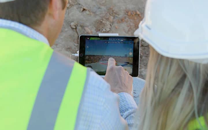
    Sharing is as simple as sending a link. With Propeller’s field collaboration tools, anyone you invite can open the live map on any device and see the current state of the site, with no file transfers and no version confusion. Field teams pin photos and notes to an exact location, the office reviews conditions remotely, and everyone references the same view.

    Because the platform updates as new captures come in, the shared map always reflects the latest site conditions. Your team can track progress between captures, run site checks without walking every area, and pull daily reports straight from the same data everyone is already looking at. When a question comes up about what happened and when, the answer is one shared map away.

    Sharing site data across your whole team

    The real payoff of one shared map is that it speaks to everyone on the project, in the terms they care about.

    Field teams
    Field crews get a practical tool that keeps them moving. They can check the latest map from the cab or the trailer, flag a hazard, and see how their work compares to design without waiting on the office.

    Office and engineering teams
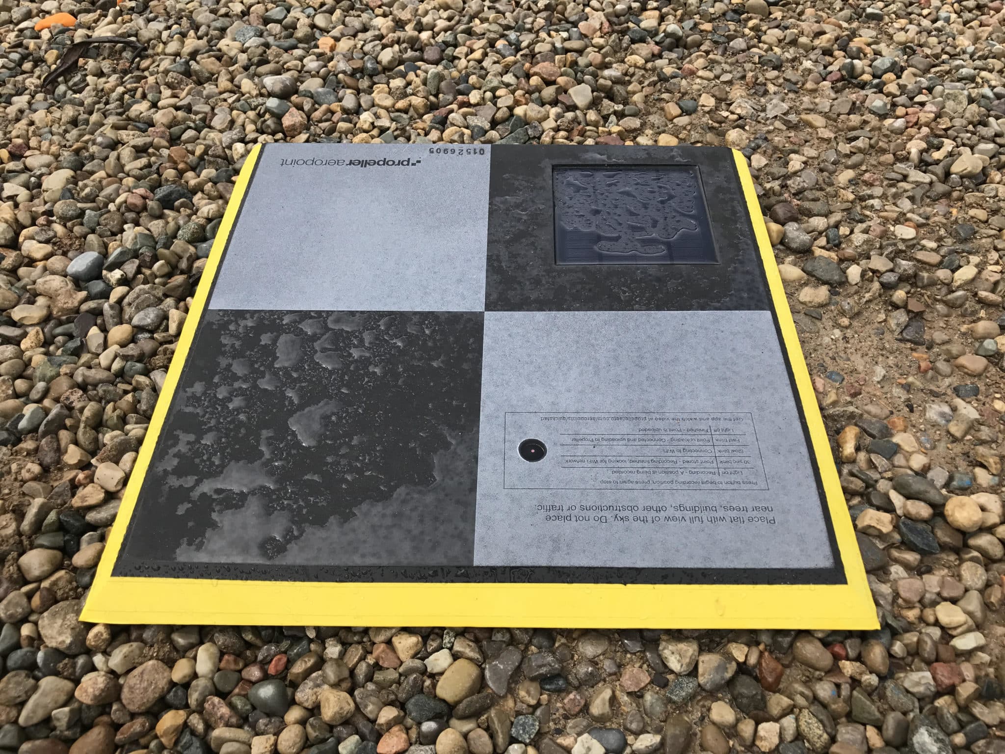
    The office gets the detail and accuracy it needs. Teams can measure volumes, compare surfaces, and export clean data into CAD and GIS, all from the same high-precision data the field is using, captured with tools like AeroPoints for accurate ground control.

    Executives and owners
    Leadership gets proof and confidence. A quick link gives owners a clear, current view of progress, which protects margins, reduces risk, and backs up billing with documented data.

    When each of these groups works from the same map, the handoffs between them get faster and the misunderstandings mostly disappear.

    Frequently asked questions

    What is the best way to share construction site data with your team?
    The best approach is a shared platform where site data lives in one place and everyone works from the same current map. It removes version confusion, keeps the data measurable, and lets you share access with a simple link rather than emailing files back and forth.

    Why is sharing site data over text or email a problem?
    Screenshots flatten out scale and detail, so no one can measure from them, and email chains quickly leave people working from outdated files. Both make it hard to know which version is current, which is where rework and slow decisions creep in.

    How does Propeller make sharing site data easier?
    Propeller brings survey data, site maps, and machine data into one platform, then lets you share the live map with a link that opens on any device. The map updates as new captures come in, so the whole team always sees the latest site conditions.

    Can everyone on the team access the same site data?
    Yes. Field crews, office and engineering teams, and ownership can all reference the same shared map, each getting the view and detail that matters to their role, with access levels you control.

    Stop sending site maps over text

    Sharing site data does not have to mean chasing files, decoding screenshots, or guessing which version is current. When your team works from one shared map, the latest view of the site is always a link away, and everyone from the field to ownership is aligned on the same picture. That is what turns site data from a daily headache into a genuine advantage. See how Propeller keeps your whole team on the same map, or request a demo to see it in action.

    Quick links

      Related articles

      Better Blast Planning, Monitoring and Quarry Reporting Using Drone Data

      Making decisions with the most up-to-date and reliable information is critical for any site manager,…

      Six smart ways to use drones in mines and quarries

      The use of drones in mines and quarries is common, but these sites are highly…

      Cross Section Survey in a Matter of Minutes Using Drone Data

      With the power of drone-captured data and the Propeller Platform, surveying cross sections becomes as…

      Ready to learn how Propeller can power up your worksite?

      We’re happy to show you how Propeller can power your worksite, and boost productivity.

      Related articles

      Drone pilot in hi-vis flying a drone next to a crane, with an AeroPoint on the floor.

      Things To Know About Ground Control in Drone Surveying

      Ground control is the go-to option for turning drone data into highly accurate, survey-grade models.…
      DJI M4E flying in the sky

      Propeller’s Drone Guide: DJI Solutions for Commercial Operations

      At Propeller we love testing new drone hardware and we are processing hundreds of drone…

      Telecom Tower Inspection using DJI Phantom 4 Pro: Step-by-Step Guide

      A few weeks ago a new DJI Phantom 4 Pro was delivered to our office.…