What is orthomosaic mapping? Orthomosaics, orthophotos, and mapping software explained

Read Time: 6 mins
Quick links
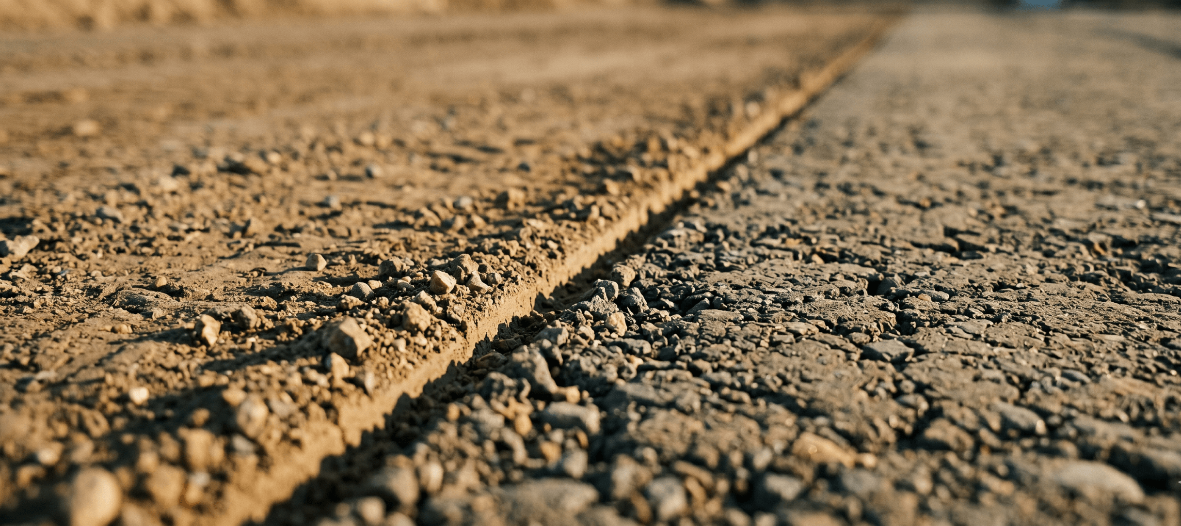
    Ground-level view of a graded construction earthwork surface showing two soil textures meeting along a clean line, evoking stitched orthomosaic map tiles

    Orthomosaic mapping stitches hundreds of overlapping drone images into one geometrically corrected map with consistent scale and accurate positioning, turning raw aerial photos into a site view you can actually measure and build from. This guide covers what orthomosaic mapping is, how orthophotos are created, the difference between the two, and how the workflow and software fit into real construction and surveying jobs. The payoff is proof over guesswork: full-site coverage, reliable measurement, and one shared map everyone from the field to ownership can work from.

    If you have ever tried to measure a site from a regular drone photo, you already know the problem: the image looks great, but the distances lie. Edges stretch, scale drifts, and nothing lines up with your design. Orthomosaic mapping fixes that. It takes hundreds of overlapping aerial images and turns them into one geometrically corrected map you can actually measure, plan, and build from.

    This guide breaks down what orthomosaic mapping is, how orthophotos are created, the difference between the two, and how orthomosaic software fits into real construction and surveying workflows. No jargon for the sake of it, just the parts that help you make a confident call.

    What is orthomosaic mapping?

    Orthomosaic mapping is the process of stitching many overlapping aerial images into a single, geometrically corrected map with consistent scale and accurate geospatial positioning. In plain terms, it turns a pile of drone photos into one measurable picture of your whole site.

    Here is why that correction matters. A standard aerial photo carries distortion from camera tilt, lens perspective, and changes in terrain elevation. Measure across it and your numbers will be off. Orthomosaic mapping removes that distortion, so every point on the final map sits in its true position. That is the difference between a nice photo and a survey you can trust.

    Construction and surveying teams lean on orthomosaics because they replace guesswork with proof. Instead of waiting on a crew to confirm an elevation or pacing out a stockpile by hand, you get one shared view everyone references, accurate enough to track progress, calculate volumes, and back up what you bill. Many of these workflows rely on drone photogrammetry to generate the underlying mapping outputs.

    What is an orthophoto?

    An orthophoto is a single aerial image that has been geometrically corrected so distances and positions can be measured accurately. It is the building block of an orthomosaic.

    The correction process, called orthorectification, removes the distortion baked into a raw aerial shot. It accounts for camera angle, lens characteristics, and terrain relief, then reprojects the image as if you were looking straight down at every point at once. The result is an image with uniform scale, where horizontal measurements hold true edge to edge.

    That is what separates an orthophoto from a standard drone photo. A regular photo shows you what the site looks like. An orthophoto lets you measure it.

    Orthophotos vs orthomosaics: what is the difference?

    The short version: an orthophoto is one corrected image, and an orthomosaic is many orthophotos stitched into one complete map.

    A single orthophoto covers a limited area, whatever the camera captured in one frame. That works for a small footprint, but most sites are far too large for a single shot. An orthomosaic solves the scale problem by aligning and blending dozens or hundreds of corrected images into one seamless map that holds consistent scale and accurate positioning across the entire site.

    For day-to-day construction and surveying work, the orthomosaic is what you want. It gives you full-site coverage, reliable measurement across the whole map, and a single reference everyone on the project can work from, rather than a patchwork of individual frames.

    How orthomosaic mapping works

    Orthomosaic mapping follows a structured workflow that turns overlapping drone imagery into a measurable site map. Here is what happens at each stage.

    Step 1: Capture overlapping drone imagery. The drone flies a planned grid and captures images with heavy overlap, often 70 to 80 percent between shots. That overlap is what lets the software find common points later and align everything accurately. Skimp on overlap and the map quality suffers, so flight planning matters from the first pass.

    Step 2: Process and align the images. Mapping software scans every image for shared features, then matches those points across overlapping frames to align them into one connected dataset. This stage establishes how each photo relates to the next and anchors the whole set in real-world coordinates.

    Step 3: Apply geometric corrections. With the images aligned, the software corrects the distortion introduced by terrain, camera tilt, and perspective. This is the step that makes the output measurable rather than merely good-looking.

    Step 4: Generate the orthomosaic map. Finally, the corrected images are blended into a single high-precision orthomosaic with consistent scale and accurate positioning across the site. These same workflows often produce other drone survey outputs too, like point clouds and elevation models, giving you more than just a flat map to work from.

    Orthomosaic mapping use cases in construction and surveying

    Orthomosaic maps earn their keep the moment a team needs to see the whole site clearly and act on it. A few of the most common uses:

    • Progress tracking: compare captures over time to see exactly how a site has changed, without sending anyone back out to re-measure
    • Earthworks monitoring: track cut and fill against your design surface and catch issues before they become rework
    • Site inspections: review conditions remotely instead of walking the whole site, which saves time and keeps people out of active zones
    • Stockpile visibility: get a clear, current view of material on the ground for faster, more accurate volume reporting
    • Pre-construction documentation: capture existing ground before work starts so you have a verified baseline
    • Infrastructure planning: plan layout and logistics against an accurate map of what is actually there
    • Stakeholder communication: give everyone, from the field to the office to ownership, one shared view to align around

    Across all of these, orthomosaic maps support more accurate construction site planning and tighter coordination between teams. They also pair naturally with survey processing workflows when you need elevation detail alongside the imagery.

    Orthomosaic software and mapping platforms

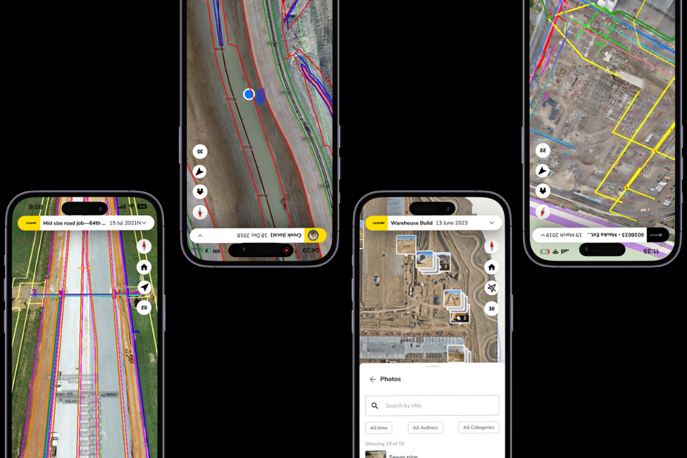
    Orthomosaic software processes raw aerial imagery into corrected, measurable maps, then gives teams the tools to analyze, measure, and share that data. The capabilities to look for:

    • Image stitching and georeferencing that aligns your imagery and anchors it in real-world coordinates
    • Surface generation that turns imagery into terrain models and other measurable outputs
    • Cloud-based collaboration so the field, the office, and ownership all work from the same map
    • Reporting and exports that move your data cleanly into CAD and GIS without manual rework

    There is a real difference between free or entry-level tools and an enterprise platform. Lightweight software might get you a map, but the value shows up in what happens next: how easily your team can compare surfaces to design, track progress over weeks, and pull accurate data into the rest of your workflow. This is where Propeller fits. Rather than a standalone processor, it acts as a real-time command center where your survey processing, site maps, and machine data live together in one platform, so everyone is working from the same accurate view.

    For teams capturing existing ground through vegetation or in obstructed terrain, LiDAR processing can complement photogrammetry-based orthomosaics for specific pre-clearing and pre-construction work.

    Accuracy and resolution in orthomosaic mapping

    Orthomosaic accuracy comes down to a handful of factors working together. Get them right and you get a map you can build from. Get them wrong and you get a pretty picture.

    • Ground sampling distance (GSD): this is how much real-world area each pixel represents. A smaller GSD means higher resolution and finer detail
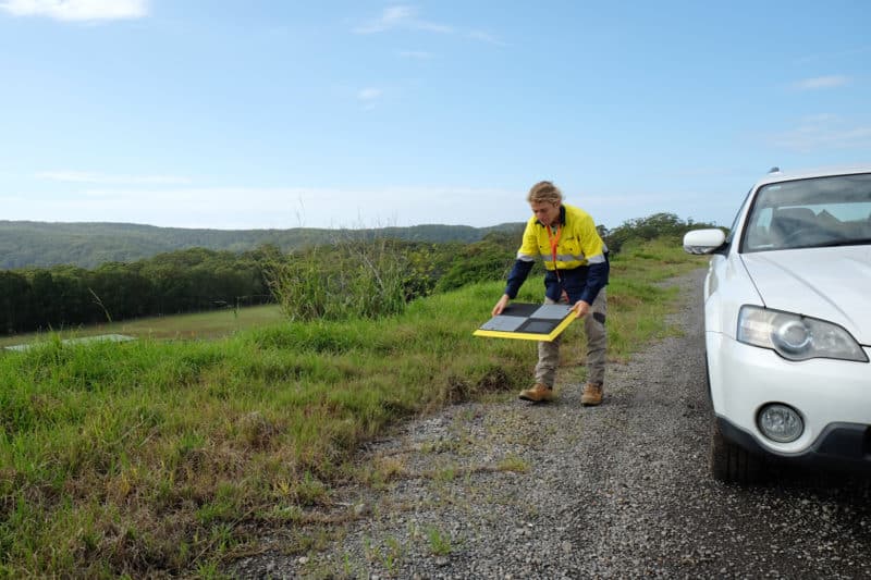
    • GPS and ground control points: accurate positioning depends on solid GPS, and ground control points or PPK correction tie the map precisely to real-world coordinates. Tools like AeroPoints make ground control far less painful to set up
    • Resolution vs accuracy: these are not the same thing. A high-resolution map can still be inaccurate if positioning is off, so do not mistake sharp imagery for reliable measurement
    • Repeatability: for progress tracking to mean anything, each capture has to be consistent with the last. Repeatable accuracy is what makes comparing surveys over time trustworthy

    The honest takeaway: describe accuracy in terms of what the job actually needs. High-precision orthomosaics are excellent for site-wide measurement, volumes, and progress, while foundation-level or as-built precision calls for different methods.

    Common challenges in orthomosaic mapping

    Even a solid workflow runs into friction. Knowing the usual suspects helps you plan around them:

    • Weather: wind, rain, and poor light all affect capture quality, so flight timing matters
    • Image overlap: too little overlap leaves gaps the software cannot stitch cleanly
    • Vegetation: dense cover can obscure the ground and complicate accurate surface modeling
    • Site accessibility: some areas are hard to fly safely or completely, which leaves holes in coverage
    • Large dataset management: high-resolution captures generate a lot of data, and moving it around can slow teams down
    • Processing limitations: underpowered software or workflows can bottleneck the whole process, which is where offloading processing to a capable platform pays off

    Why orthomosaic mapping matters

    Orthomosaic mapping turns raw drone imagery into accurate, measurable site maps that construction and surveying teams can plan, report, and build from with confidence. It replaces guesswork with proof, gives everyone one shared view to work from, and supports better decisions from pre-construction through to handover. As drone mapping becomes standard practice across earthwork, orthomosaics are quickly becoming the baseline for how modern teams see and manage their sites.

    Frequently asked questions

    What is orthomosaic mapping?
    Orthomosaic mapping is the process of stitching many overlapping aerial images into a single geometrically corrected map with consistent scale and accurate positioning, so the result can be used for real measurement, planning, and site analysis.

    What is an orthophoto?
    An orthophoto is a single aerial image that has been geometrically corrected to remove distortion, so distances and positions across the image can be measured accurately.

    What is the difference between an orthophoto and an orthomosaic?
    An orthophoto is one corrected aerial image covering a limited area. An orthomosaic combines many orthophotos into one complete, measurable map of an entire site.

    How accurate are orthomosaic maps?
    Accuracy depends on image quality, GPS positioning, ground control points or PPK correction, and the processing workflow. With good ground control, orthomosaics deliver high-precision results suitable for site-wide measurement, volumes, and progress tracking.

    What software is used for orthomosaic mapping?
    Orthomosaic software ranges from lightweight processors to full platforms. The difference shows up in what you can do after the map is built: compare surfaces to design, track progress over time, and export cleanly into CAD and GIS. Propeller brings survey processing, site maps, and machine data into one shared platform.

    Quick links

      Related articles

      stockpile gif

      Reality capture vs. smart surveys: What’s the difference?

      Learn what a point cloud actually is and then how drone data is integrated with…

      Unearth your potential with underground utility mapping

      Learn what a point cloud actually is and then how drone data is integrated with…
      Lidar survey lens close-up.

      Introduction to LiDAR Data Processing

      Learn what a point cloud actually is and then how drone data is integrated with…

      Ready to learn how Propeller can power up your worksite?

      We’re happy to show you how Propeller can power your worksite, and boost productivity.

      Related articles

      Drone pilot in hi-vis flying a drone next to a crane, with an AeroPoint on the floor.

      Things To Know About Ground Control in Drone Surveying

      Ground control is the go-to option for turning drone data into highly accurate, survey-grade models.…
      DJI M4E flying in the sky

      Propeller’s Drone Guide: DJI Solutions for Commercial Operations

      At Propeller we love testing new drone hardware and we are processing hundreds of drone…

      Telecom Tower Inspection using DJI Phantom 4 Pro: Step-by-Step Guide

      A few weeks ago a new DJI Phantom 4 Pro was delivered to our office.…