What we heard from the field: Peer-led workflows at the Propeller Advanced Workshop

Read Time: 4 mins
Quick links

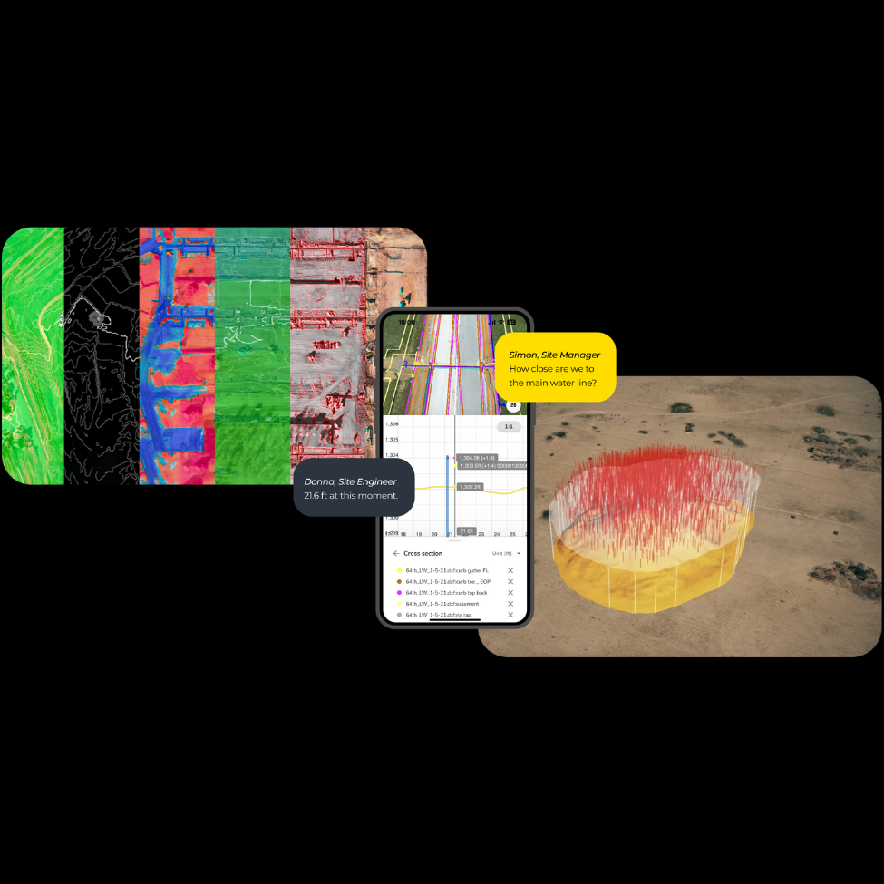
    At the Propeller Advanced Workshop in Denver, H2 Enterprises and Dwire Earthmoving shared how they use drone surveys, DirtMate RTK, and the Propeller platform to run tighter data operations across large-scale earthwork, from 10,000-acre solar farms to complex quarry sites. Both sessions showed how giving field teams direct access to accurate, timestamped site data cuts rework, prevents disputes, and removes the wait for information that slows projects down.
    Propeller Advanced Workshop Recap

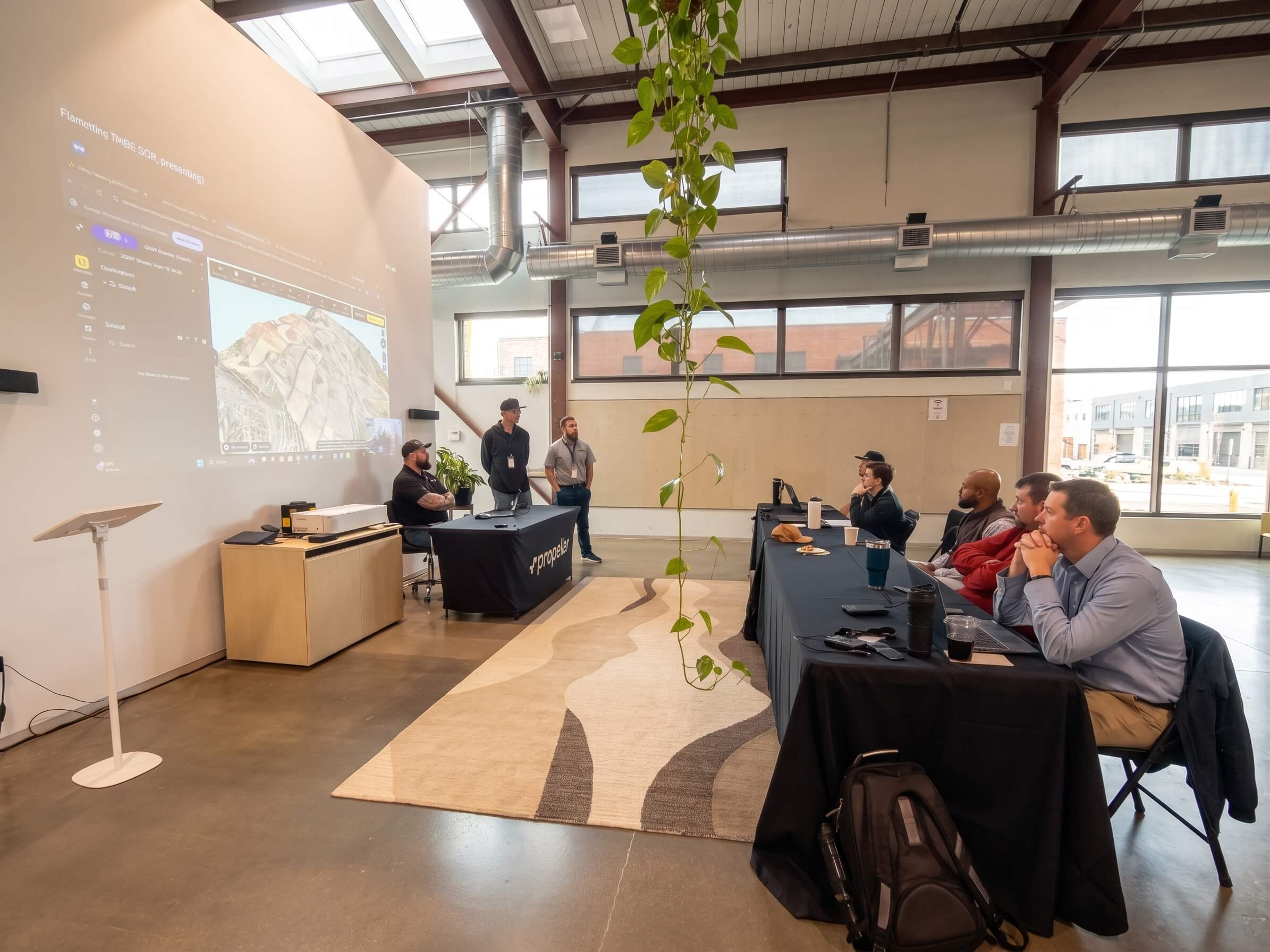
    The best earthwork insights rarely come from a slide deck. They come from the people actually running sites, the ones who’ve tested the workflows, hit the wall, figured it out, and moved on to the next problem. That’s exactly what we set out to capture at the Propeller Advanced Workshop in Denver, where two of our most experienced customers took the floor to share how they’re putting Propeller to work in the real world.

    Who this is for: Project managers, surveyors, and site engineers who want to see how teams are putting the Propeller platform to work at scale.

    What’s covered:

    • H2 Enterprises: Scaling data operations across thousands of acres
    • Dwire Earthmoving: Field-tested workflows from the ground up
    • What both sessions had in common

    H2 Enterprises: Scaling data operations across thousands of acres

    Kasen Huwa has spent more than 30 years in information technology across industries ranging from power generation to local government. When he joined H2 Enterprises, he brought that systems-thinking background to heavy civil construction, and it shows in how the team approaches site data.

    H2 has been delivering utility-scale solar farm earthwork for eight years. What started as roughly 100-acre projects has grown into developments spanning 8,000 to 10,000 acres. At that scale, the gap between what’s happening in the field and what the office knows about it isn’t just an inconvenience. It’s a margin risk.

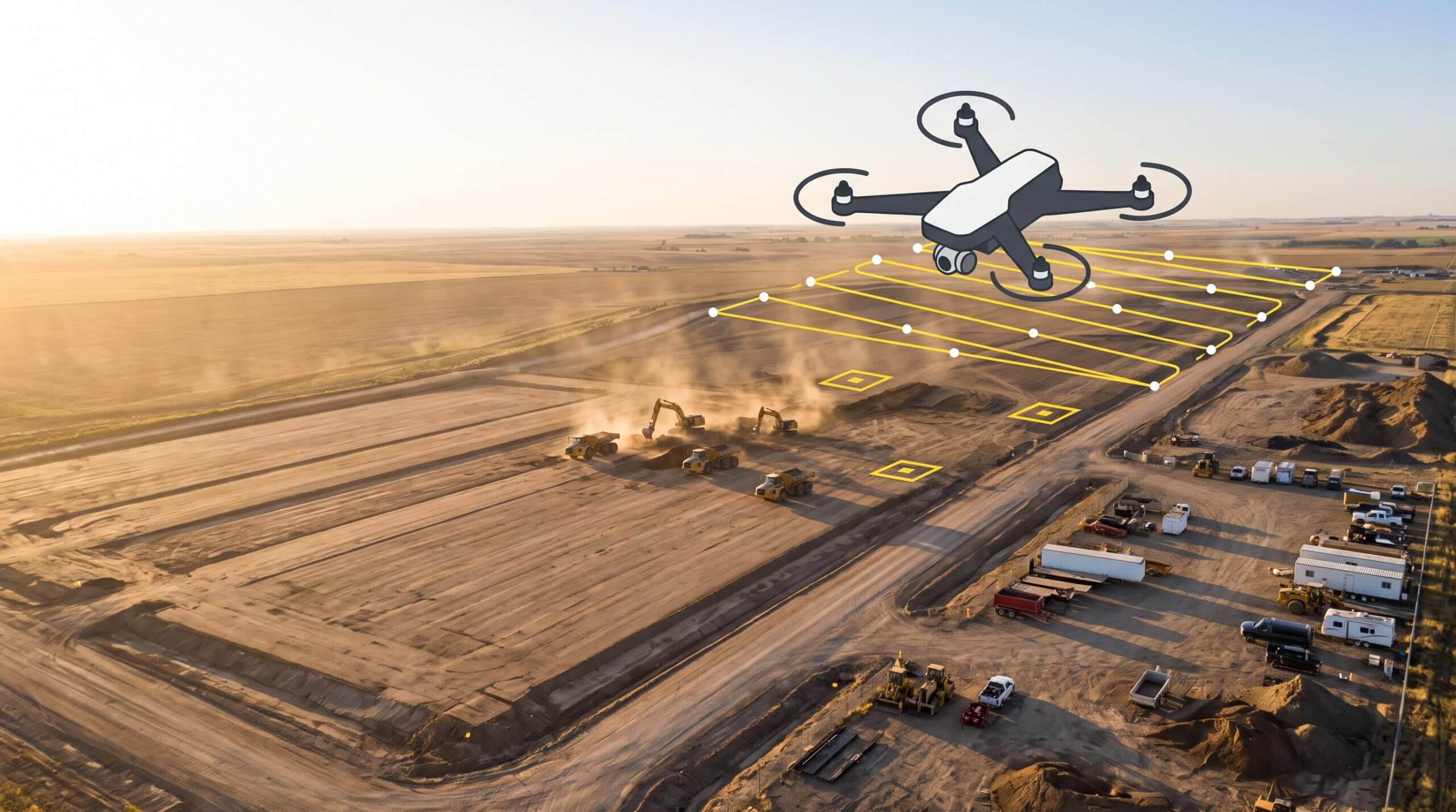
    “If your flights are off by a tenth or two over an 8,000-acre solar farm, that is a lot of dirt,” Kasen told the room. H2’s answer to that problem is disciplined data operations: flights that take two and a half hours to execute correctly, extensive design validation before anything hits the field, and a deliberate effort to put accurate information in the hands of the people closest to the work.

    H2 adopted the Propeller platform in January 2023, starting with two DJI Phantom 4 RTK units. Today, their fleet includes nine DJI Mavic 3 Enterprise systems, a WingtraOne GEN II equipped with 61 MP imagery and LiDAR, a Quantum-Systems Trinity Pro with the same sensor suite, 40 AeroPoints, and 20 DirtMate units. That’s not a drone program. That’s a data infrastructure.

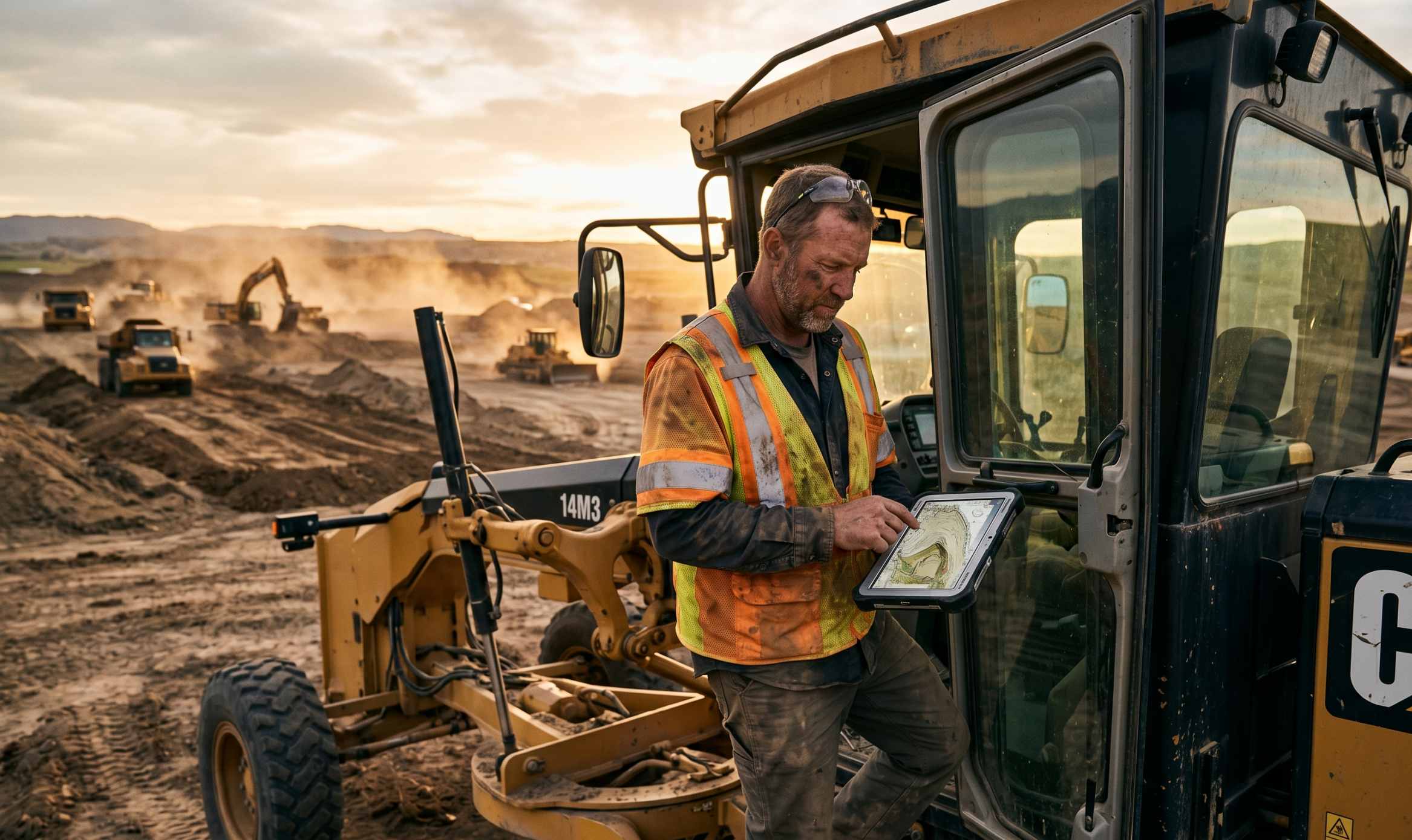
    Kasen’s session focused on three things that resonate with any team managing work at scale: getting actionable data into the hands of site teams without making them wait, using drone flights alongside design files to close the gap between what was planned and what’s being built, and integrating DirtMate’s machine operator view and point capture capabilities into daily field operations.

    On the DirtMate rover, Kasen was direct: “I tried to prove the system wrong, but it was within three-hundredths of my expensive rover.” H2 has since committed to deploying at least two DirtMate rovers on every site, replacing equipment that costs significantly more and is far easier to damage in the field.

    The throughline across all of it was empowerment. H2’s goal isn’t to give the office more visibility into the field. It’s to give field teams the information they need to make good decisions without having to call anyone. For Kasen, that’s less about any single feature and more about what the platform has become for his team. “I love the DirtMates and the data transparency. I also love that the Propeller team listens to us. We suggest a feature, like staking out to line work, and they actually build it.”

    Dwire Earthmoving: Field-tested workflows from the ground up

    Blake Gutierrez, Mo Rogowski, and Charlie Dillon from Dwire Earthmoving brought a different kind of energy to the room. Dwire has been moving dirt in and around Colorado Springs since 1994, and today they’re shifting tens of millions of yards a year across projects ranging from local developments to large-scale quarry reclamation.

    Mo has worked for Dwire for 11 years as an operator before moving into surveying. Charlie has completed over 150 topos since getting his Part 107. Blake comes from a traditional survey background, which gives him a clear-eyed view of what drone workflows have actually replaced.

    “Going out and hand-topo’ing a 100-acre site can take some time,” Blake said. “I think the drone work has really changed that.” What used to require weeks of total station setups now comes back in a couple of hours, with accuracy the team has verified repeatedly.

    The centerpiece of their session was Pikeview Quarry, a massive site south of Colorado Springs with 477 feet of total elevation change. Early on, the team had to split flights into two separate patterns just to manage the altitude variation. Once they got the DJI Matrice 300 with the L1 sensor and terrain follow capability, the site became manageable in a single workflow. A third party was flying a Wingtra alongside them throughout the project. The data matched. “Matching drone data is hard to argue with,” Blake said.

    One of the more memorable moments from the session was Blake walking through a dispute resolution scenario. Dwire had graded an area and left it to a utility contractor to complete. When the team came back and re-topo’d, the elevations were off. The client wanted proof of what Dwire had done. Propeller provided it: a timestamped visual record that showed exactly what the site looked like before the utilities touched it. No argument, no ambiguity.

    Charlie highlighted a workflow detail that resonated with the surveyors in the room: using the KML export to define site boundaries in Propeller, then overlaying the design on top of the flight path to tighten panel placement before subsequent flights. On a site they’re flying weekly or multiple times a day, that kind of optimization compounds fast.

    And on sharing data with clients, Blake didn’t make it sound theoretical. “My client called me at 6:00 AM yesterday wondering about material. I got to the office, uploaded the latest data, and we had a discussion right then and there.” They pulled up a Teams meeting so the client could see the data directly, not just hear about it.

    What both sessions had in common

    Different companies, different scales, different challenges, but a few themes ran through both sessions.

    Data is only valuable if teams can act on it.

    Both Kasen and Blake are building workflows where the people closest to the work have the information they need, when they need it, without friction.

    Technology adoption isn’t a one-time event.

    H2’s progression from two drones to a nine-unit fleet with LiDAR integration didn’t happen overnight. It happened because the team kept asking what was possible and kept building on what worked.

    Peer learning is irreplaceable.

    The energy in the room during both sessions wasn’t just engagement. It was recognition. Site managers and surveyors saw their own problems reflected in someone else’s workflow, and walked away with approaches they could take back to their teams the next morning.

    That’s the point of a session like this. Not a product demo. A conversation between people solving the same problems from different angles.

    Quick links

      Related articles

      Drone pilot in hi-vis flying a drone next to a crane, with an AeroPoint on the floor.

      Things To Know About Ground Control in Drone Surveying

      Ground control is the go-to option for turning drone data into highly accurate, survey-grade models.…
      DJI M4E flying in the sky

      Propeller’s Drone Guide: DJI Solutions for Commercial Operations

      At Propeller we love testing new drone hardware and we are processing hundreds of drone…

      Telecom Tower Inspection using DJI Phantom 4 Pro: Step-by-Step Guide

      A few weeks ago a new DJI Phantom 4 Pro was delivered to our office.…

      Ready to learn how Propeller can power up your worksite?

      We’re happy to show you how Propeller can power your worksite, and boost productivity.

      Related articles

      Drone pilot in hi-vis flying a drone next to a crane, with an AeroPoint on the floor.

      Things To Know About Ground Control in Drone Surveying

      Ground control is the go-to option for turning drone data into highly accurate, survey-grade models.…
      DJI M4E flying in the sky

      Propeller’s Drone Guide: DJI Solutions for Commercial Operations

      At Propeller we love testing new drone hardware and we are processing hundreds of drone…

      Telecom Tower Inspection using DJI Phantom 4 Pro: Step-by-Step Guide

      A few weeks ago a new DJI Phantom 4 Pro was delivered to our office.…