Resource Center

Real stories, helpful guides, and the latest from the field.

Aerial 3D render of a data center construction site with graded earth, utility trenches, and drainage controls transitioning into a digital site map
Featured article

The data center environmental risk contractors can actually control

Data center projects move fast, disturb large areas, and invite scrutiny over how teams manage land, water, and utilities. A clear, timestamped site record is the environmental risk contractors can actually control.

Five tips to build more accurate project estimates
Read time: 4 mins
Aerial photo of a canal section showing a bridge in the background.
How point cloud and drone data power 3D worksite models
Read time: 4 mins
Who benefits from drone survey data?
Read time: 5 mins
linework feature in Propeller
Not just for surveys: How Wills Bros uses Trimble Stratus in their Kerdiffstown project
Read time: 6 mins
Take the guesswork out of sitework: Using 3D maps to close the information gap
Read time: 2 mins
Reports powered by Propeller:  Unlock critical insights for your project team
Read time: 4 mins
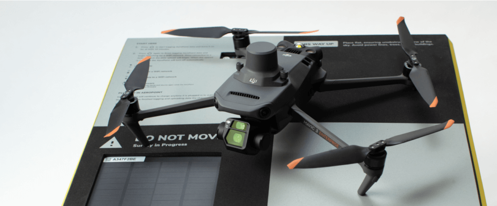
See how DJI’s Mavic 3 Enterprise drone and Propeller can help you better manage your site
Read time: < 1 min
Key factors to consider when selecting a drone for your earthworks business.
Read time: 4 mins
Two engineers with helmets and vests operating with drone by remote control and looking up in the sky. Technology innovations in construction industry
Everything You Need to Start Drone Surveying
Read time: 6 mins
How It Works: PPK vs. GCP Drone Surveying
Read time: 4 mins
SK Erdebewegung worksite In Propeller
Gaining a competitive advantage with smart surveys
Read time: 4 mins
SK Erdebewegung worksite In Propeller
Durch Drohnenvermessung zum Wettbewerbsvorteil
Read time: 4 mins