Resource Center

Real stories, helpful guides, and the latest from the field.

Minimal illustration of a yellow location pin set into the ground with topographic contour lines rippling outward
Featured article

DirtMate RTK 101: Centimeter-level positioning for grade checks, stakeout, and in-cab guidance

DirtMate RTK is a subscription upgrade to DirtMate hardware that delivers centimeter-level GPS positioning for grade checking, point capture, stakeout, and live in-cab cut/fill display, using a base-and-rover correction setup or an existing NTRIP network. It closes the gap between weekly drone surveys and daily field decisions, letting foremen and operators verify grade independently without mobilizing a survey crew. Validated to within 2/100ths of a foot against a Trimble rover on an active civil site, it’s built for field supervision tasks between survey milestones, not as a replacement for licensed survey work.

Product
Reset
Industry
Reset
Workflow
Reset
Region
Reset
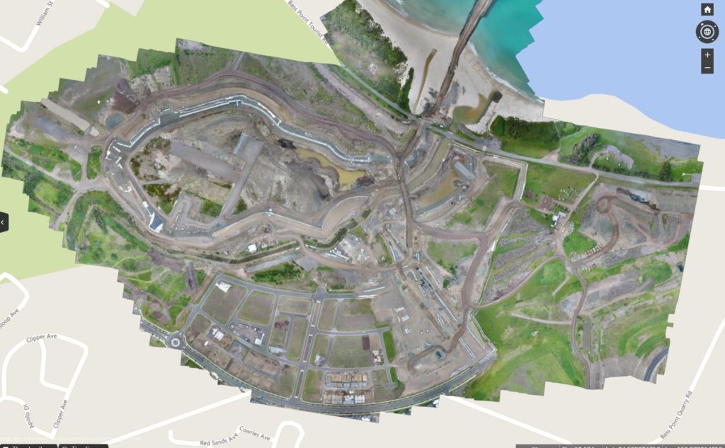
Increasing project efficiency with topographic drone surveying
Read time: 5 mins
Inside Propeller #2: Progress tracking tools for Project Managers
Read time: 4 mins
The invisible maze: 7 civil checkpoints for data center builds
Read time: 4 mins
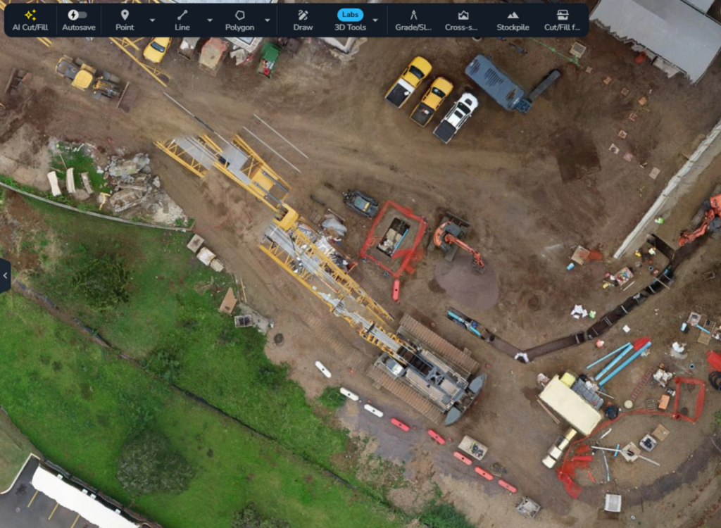
Inside Propeller #1: The tools that power earthwork in the Propeller platform
Read time: 5 mins
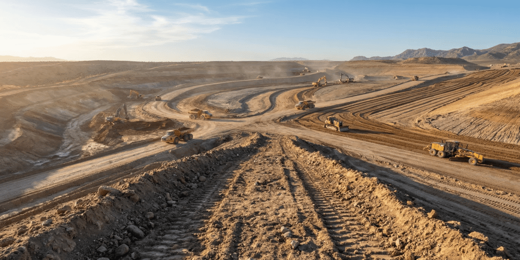
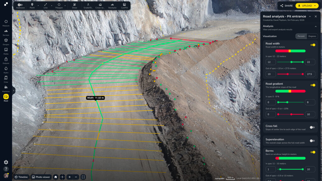
Propeller automated haul road analysis for mining and aggregates
Propeller and Spacesium: Automating the future of mining safety and operational intelligence
Read time: 2 mins
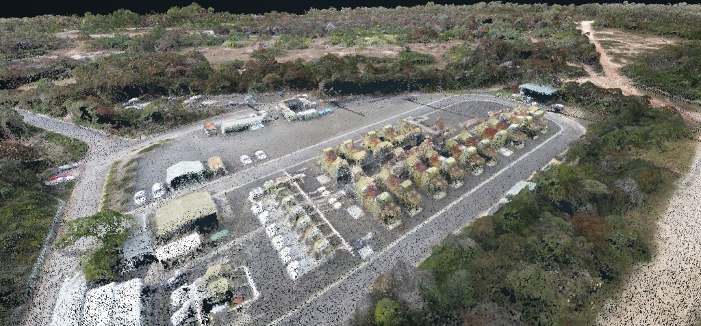
An example of a drone survey output for construction planning.
Understanding Drone Survey Outputs
Read time: 7 mins
data-management-icons-on-yellow-background
Site Survey Series #4: Real-time machine tracking
Read time: 3 mins
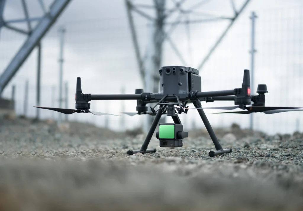
DJI Zenmuse L2 sensor
How LiDAR Drone Surveying Works
Read time: 7 mins
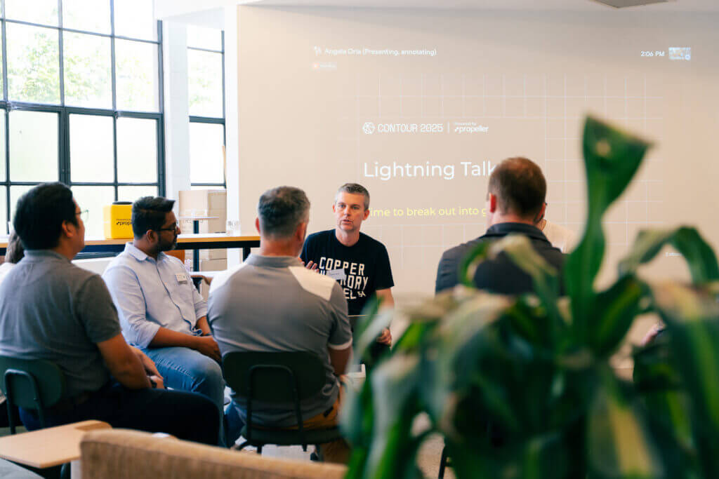
Propeller team members speaking at a conference
CONTOUR 2025: Connecting worksites, workflows, and the people who build them
Read time: 4 mins
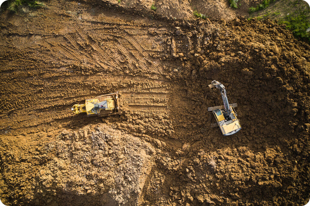
Construction-two-machines-on-dirt-project
Big improvements to Propeller data processing speeds
Read time: < 1 min
data-management-icons-on-yellow-background
Site Survey Series #3: Creating composite surveys
Read time: 3 mins
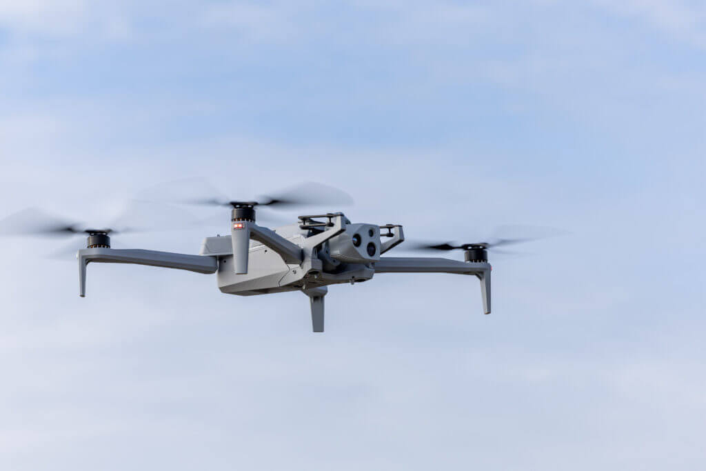
Skydio X10 drone flying in the air
Meet the Skydio X10: High-accuracy drone mapping for complex sites
Read time: 2 mins