Resource Center

Real stories, helpful guides, and the latest from the field.

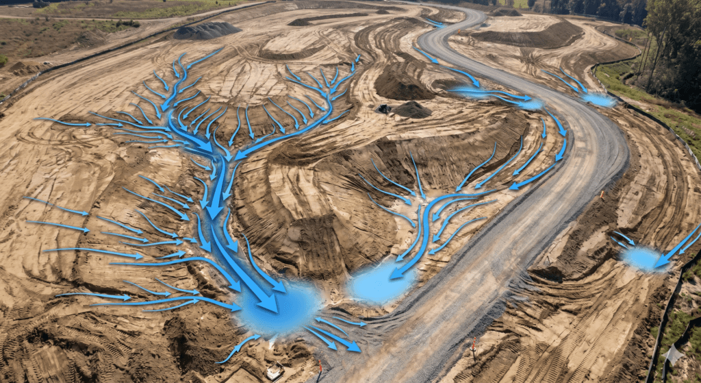
Aerial 3D render of a data center construction site with graded earth, utility trenches, and drainage controls transitioning into a digital site map
Featured article

The data center environmental risk contractors can actually control

Data center projects move fast, disturb large areas, and invite scrutiny over how teams manage land, water, and utilities. A clear, timestamped site record is the environmental risk contractors can actually control.

Inside Propeller #5: How engineers bridge the gap between CAD and the worksite
Read time: 3 mins
Inside Propeller #4: How estimators keep jobs profitable from day one
Read time: 3 mins
A construction worker sat in a truck looking at the Propeller platform on his laptop.
What is photogrammetry in surveying?
Read time: 4 mins
Inside Propeller #3: How site leads keep crews aligned
Read time: 3 mins
Existing ground during production: How verified baselines protect margin all the way to final quantities
Read time: 3 mins
Increasing project efficiency with topographic drone surveying
Read time: 5 mins
Inside Propeller #2: Progress tracking tools for Project Managers
Read time: 4 mins
The invisible maze: 7 civil checkpoints for data center builds
Read time: 4 mins
Inside Propeller #1: The tools that power earthwork in the Propeller platform
Read time: 5 mins
Propeller automated haul road analysis for mining and aggregates
Propeller and Spacesium: Automating the future of mining safety and operational intelligence
Read time: 2 mins
An example of a drone survey output for construction planning.
Understanding Drone Survey Outputs
Read time: 7 mins
data-management-icons-on-yellow-background
Site Survey Series #4: Real-time machine tracking
Read time: 3 mins