Resource Center

Real stories, helpful guides, and the latest from the field.

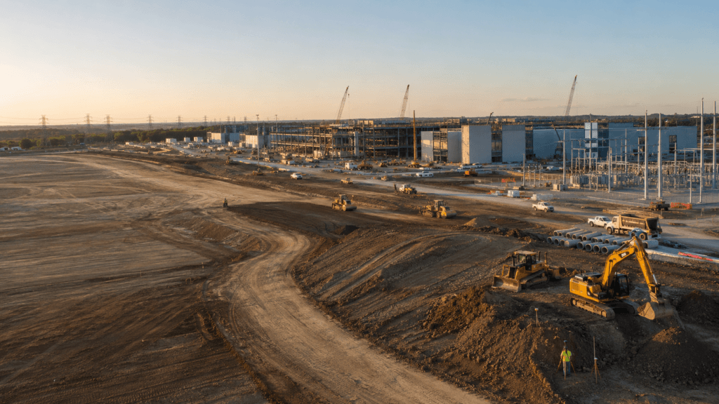
Aerial 3D render of a data center construction site with graded earth, utility trenches, and drainage controls transitioning into a digital site map
Featured article

The data center environmental risk contractors can actually control

Data center projects move fast, disturb large areas, and invite scrutiny over how teams manage land, water, and utilities. A clear, timestamped site record is the environmental risk contractors can actually control.

Cut and fill monitoring: How to ensure your earthwork volumes are on track
Read time: 4 mins
Get more from every machine hour: How DirtMate turns real-time machine data into smarter site decisions
Read time: 4 mins
From opacity to clarity: Daily site production monitoring for earthworks
Read time: 4 mins
Machine telematics 101: How equipment tracking improves site efficiency
Read time: 4 mins
How PMs use survey data to outpace the schedule
Read time: 3 mins
Contractors use timestamped site data to resolve disputes and protect margins
Read time: 5 mins
Post-clearing verification: Find your first change order before day one
Read time: 3 mins
Why company owners should care about existing ground verification
Read time: 3 mins
Pre-bid topos: How estimators can bid tighter without taking on more risk
Read time: 3 mins
Inside Propeller #6: How construction surveyors lay the foundation for faster, more accurate site data
Read time: 4 mins
Existing ground: What your bid package got wrong and what it’s costing you on-site
Read time: 3 mins
CONSTRUCTION SITE
Beyond mapping tools: Why earthwork teams need a production command center
Read time: 3 mins