Introducing Propeller CAD: From idea to concept, in minutes

Read Time: 2 mins
Quick links
    Propeller CAD

    Getting a new earthwork idea out of your head and onto the screen is the slow part. Until a concept actually exists, there is nothing for the team to look at, react to, or line up behind. That blank screen is the real hold-up, and it is exactly what Propeller CAD is built to remove.

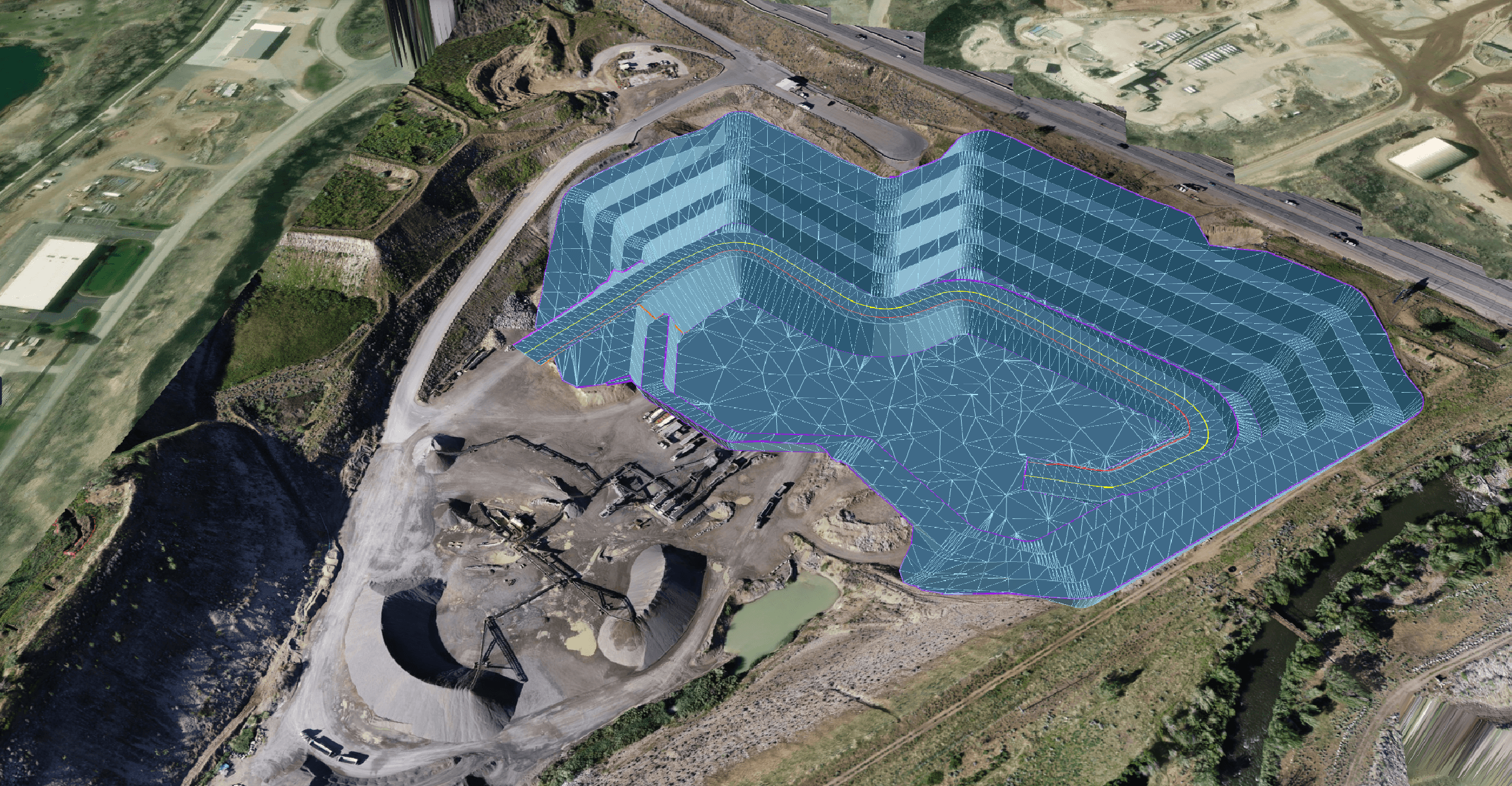
    Now in open beta, Propeller CAD lets you CAD with AI, right on your real survey data. Describe an earthwork idea in any language, or sketch it, and Propeller CAD shapes it into a workable concept on the ground you are actually working with. Roads, ramps, pads, and drainage, all inside the Propeller platform, from idea to concept in minutes.
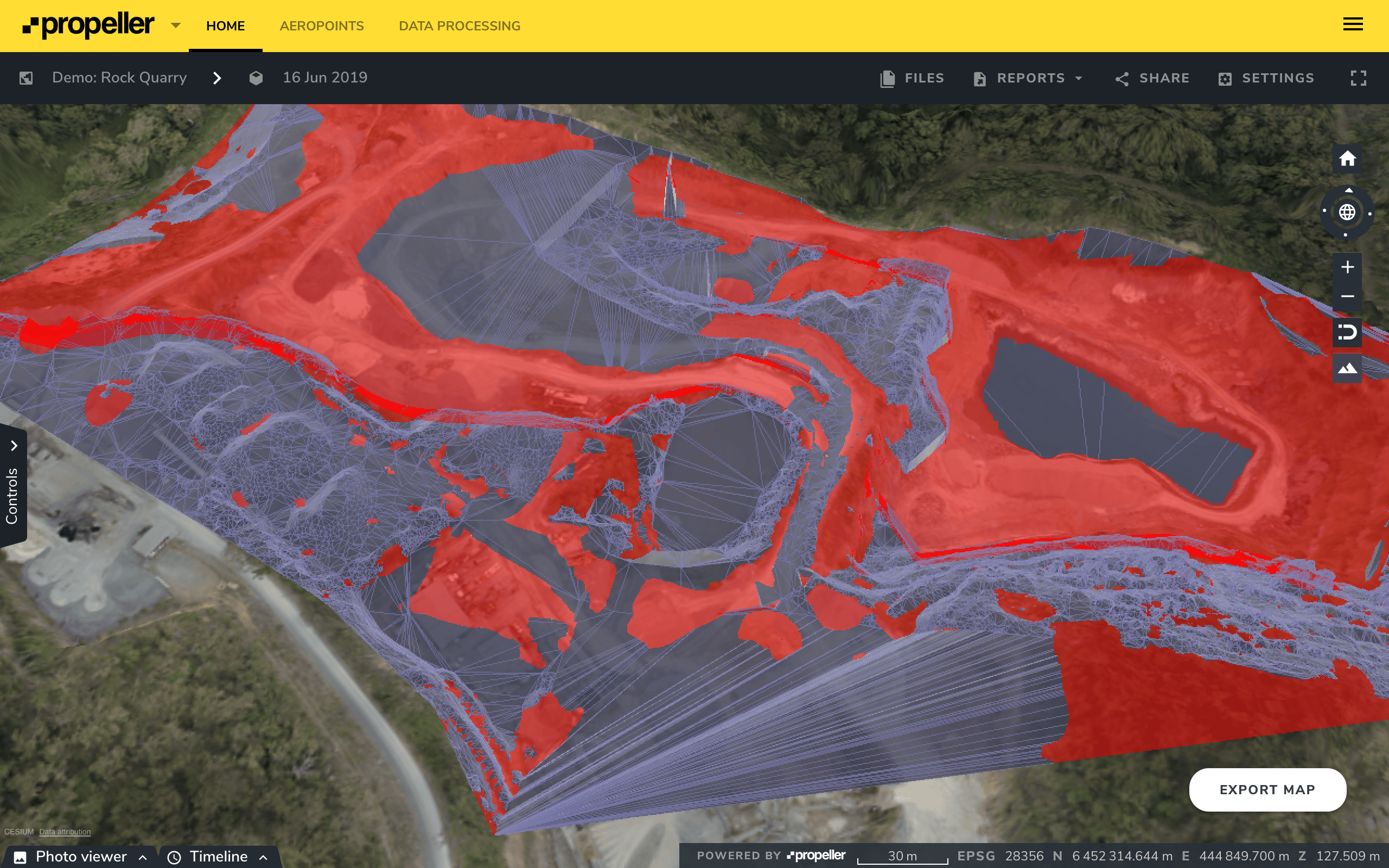
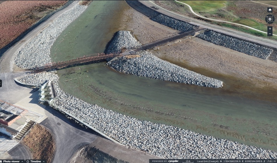
    Earthwork concepts, grounded in your site

    Propeller CAD is built for the early, fast part of your workflow, the moment when you need something real on screen so the conversation can start. Describe a road, ramp, pad, or drainage concept in plain language, or sketch it, and watch it take shape as a 3D concept on your survey data, in the right coordinate system.

    Because your first pass sits on what is actually on site, you are reacting to real ground from the very first minute, whether you work in civil construction, mining, or aggregates.

    What you can do with Propeller CAD today

    Once a concept is on the map, it lives alongside the rest of your site data, from volume calculations to site checks, so it is easy to sense-check against real conditions.

    • Describe it in any language: type or sketch your idea and watch it take shape as a 3D concept
    • See it on your real survey data: your first pass is grounded in what is actually on site
    • Iterate in the moment: adjust grades, dimensions, and tie-ins as things change, without starting over
    • Build in your own rules: upload your specs or design rules and Propeller CAD works to them
    • Save and revisit: keep concepts in your Propeller site list to come back to anytime
    • Export when you are ready: hand off as DXF or TTM into your normal design process

    What teams are using it for

    We are still learning what people do with Propeller CAD, and that is part of the point. So far, teams have reached for it to spin up quick concept designs, shape temporary works before detailed design begins, run fast feasibility studies by weighing a couple of options side by side, and communicate a change on site by turning an idea into something visual the whole crew can align around.

    It is proving just as useful for keeping progress tracking honest against a plan as it is for helping survey and engineering teams get a head start, and for transportation projects where staging and access change by the week.

    Where Propeller CAD fits

    Propeller CAD gives you a concept to work from. Like any design tool, the quality of what you create depends on your inputs and your judgment. It produces a concept, not a final engineered deliverable, and engineer sign-off stays with a qualified professional. Whether your project needs that sign-off is your call.

    How it works

    1. Describe or sketch your idea: a haul road, a pad, or a ramp, put it into words in any language or sketch it, and Propeller CAD generates a 3D concept on your real survey data
    2. Refine and adjust: tweak grades, dimensions, and tie-ins interactively until the concept fits your site
    3. Export and share: when you are happy, export as DXF or TTM to take into your next steps, and keep the field and office working from the same picture

    Built into the platform you already use

    Because Propeller CAD lives inside Propeller, your concepts sit next to your survey processing, your daily reporting, and everything else your team already works from. There is no extra software to install and no separate file to chase down.

    Propeller CAD is now in beta

    Register your interest and help us shape where it goes next. From idea to concept, in minutes.

    Quick links

      Related articles

      Better blast planning, monitoring and quarry reporting using drone data

      Propeller gives mining teams accurate pre- and postblast site data by combining high-precision drone surveys…

      Six smart ways to use drones in mines and quarries

      The use of drones in mines and quarries is common, but these sites are highly…

      Cross section survey in a matter of minutes using drone data

      With the power of drone-captured data and the Propeller Platform, surveying cross sections becomes as…

      Ready to learn how Propeller can power up your worksite?

      We’re happy to show you how Propeller can power your worksite, and boost productivity.

      Related articles

      Drone pilot in hi-vis flying a drone next to a crane, with an AeroPoint on the floor.

      Things To Know About Ground Control in Drone Surveying

      Ground control is the go-to option for turning drone data into highly accurate, survey-grade models.…
      DJI M4E flying in the sky

      Propeller’s Drone Guide: DJI Solutions for Commercial Operations

      At Propeller we love testing new drone hardware and we are processing hundreds of drone…

      Telecom Tower Inspection using DJI Phantom 4 Pro: Step-by-Step Guide

      A few weeks ago a new DJI Phantom 4 Pro was delivered to our office.…