Data center site prep and the true cost of grading delays

Read Time: 5 mins
Quick links
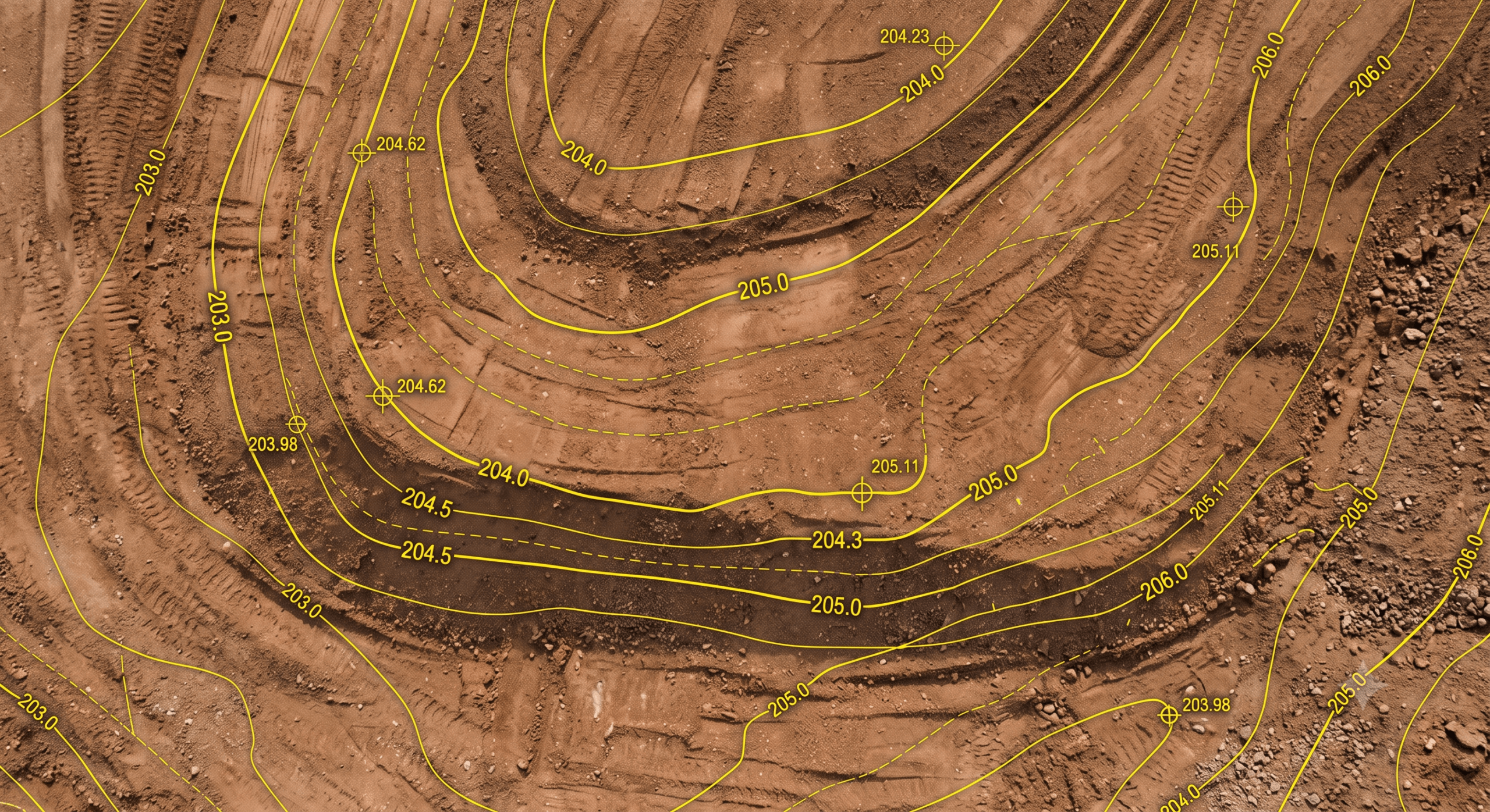
    Graded earth surface with a cut/fill design overlay of contour lines and grade markers

    Data center construction delays are expensive because facilities run on a power-on date, and a 60MW data center delay can cost up to $14.2 million a month in lost revenue. Most of that risk originates in the earthwork phase, where grading, cut/fill, and drainage set the pace for the foundations, MEP, and long-lead transformer installs that follow. Teams reduce this risk by using a live site map to compare surfaces to design, track cut/fill and stockpiles across the campus, and make grading decisions in days instead of waiting on the next scheduled survey.
    Data center construction

    A 60MW data center delay can cost up to $14.2 million a month. That number should stop you cold, because it changes what a “small” site-prep problem actually costs.

    Most of that risk starts in the dirt. Grading, cut/fill, and drainage set the pace for everything vertical that follows. Get the earthwork right the first time and you protect the clock. Get it wrong and the meter keeps running while crews wait on answers.

    This one is about where data center builds quietly lose time, and how a live site map keeps the schedule honest.

    Who this is for: Site and project managers, estimators, and survey and engineering teams on data center, hyperscale, and large civil campuses.

    When you use it: From the first cut through final grade, and every survey in between.

    The $14 million clock nobody wants to run

    Data centers do not run on a normal construction schedule. They run on a power-on date, and every month past that date is revenue that never happens.

    That is where the $14.2 million per month figure comes from. It is not a penalty clause, it is the cost of a facility sitting idle while the market waits.

    And delays are the norm, not the exception. Nine in 10 infrastructure projects run past schedule, and the long-lead items make recovery brutal. Transformers alone can carry lead times of 12 to 18 months, so once you slip, you cannot simply buy your way back on track.

    Power and grid access have become the gating factor for whether a site is even viable at all. When the whole project hinges on hitting a grid connection window, the earthwork phase has zero slack to give.

    Why data center delays start in the dirt

    Site prep looks like the cheap phase. It is actually the phase that sets the ceiling on everything else.

    The land prep sequence (clearing, mass grading, drainage, and pad construction) has to finish clean before foundations, MEP, and transformer installs can start. A pad that is off by a tenth of a foot, or a drainage issue nobody caught, does not just cost site time. It stalls the vertical build stacked on top of it.

    Add the pressures every data center program is facing right now (tight labor, permitting and community friction, and compressed timelines) and there is no room to absorb a surprise in the earthwork. The first domino has to fall right.

    Grading and earthwork are the first domino

    On a data center campus, three earthwork mistakes do the most damage:

    • Bad cut/fill numbers: Move too much dirt or the wrong dirt and you are paying for haul, import, and export you never needed. At campus scale, volume errors compound fast.
    • A missed drainage problem: Water finds the low point you did not plan for, and a graded pad turns into standing water and rework.
    • A wrong stockpile estimate: Guess your material balance and you either run short mid-phase or sit on piles you have to move twice.

    None of these are exotic. They are the everyday errors that drive cost overruns on any earthwork job. The difference on a data center is the clock they run against. A three-day wait for the next survey to confirm elevation is not a three-day problem. It is three days against a $14 million month.

    What actually fixes it: answers on the map, not next week

    The fix is not more meetings. It is closing the gap between what the site looks like today and what the team knows today.

    That is what Propeller is built to do for earthwork teams:

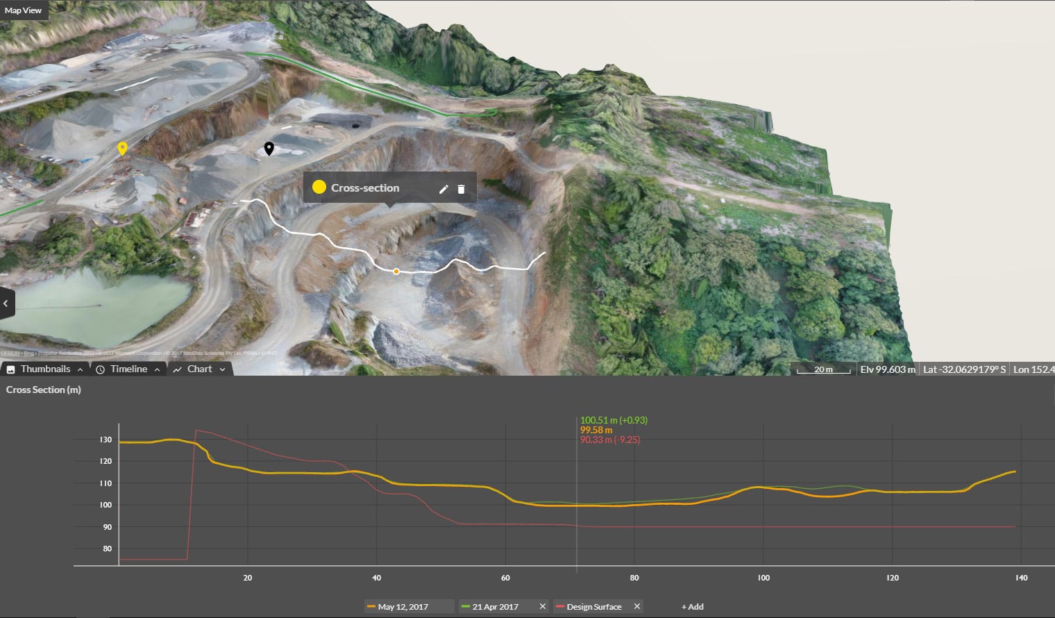
    • Compare surfaces to design in real time: Check your latest surface against the design and see grading deviations as they happen, instead of waiting on the next survey to tell you the pad drifted.
    • Track cut/fill and stockpiles across the whole campus: Keep high-precision volumes current so material balance and haul decisions are based on today’s dirt, not last month’s.
    • Work from one shared map: Field, office, and leadership see the same up-to-date site, so decisions land in days, not after a weekly report cycle.

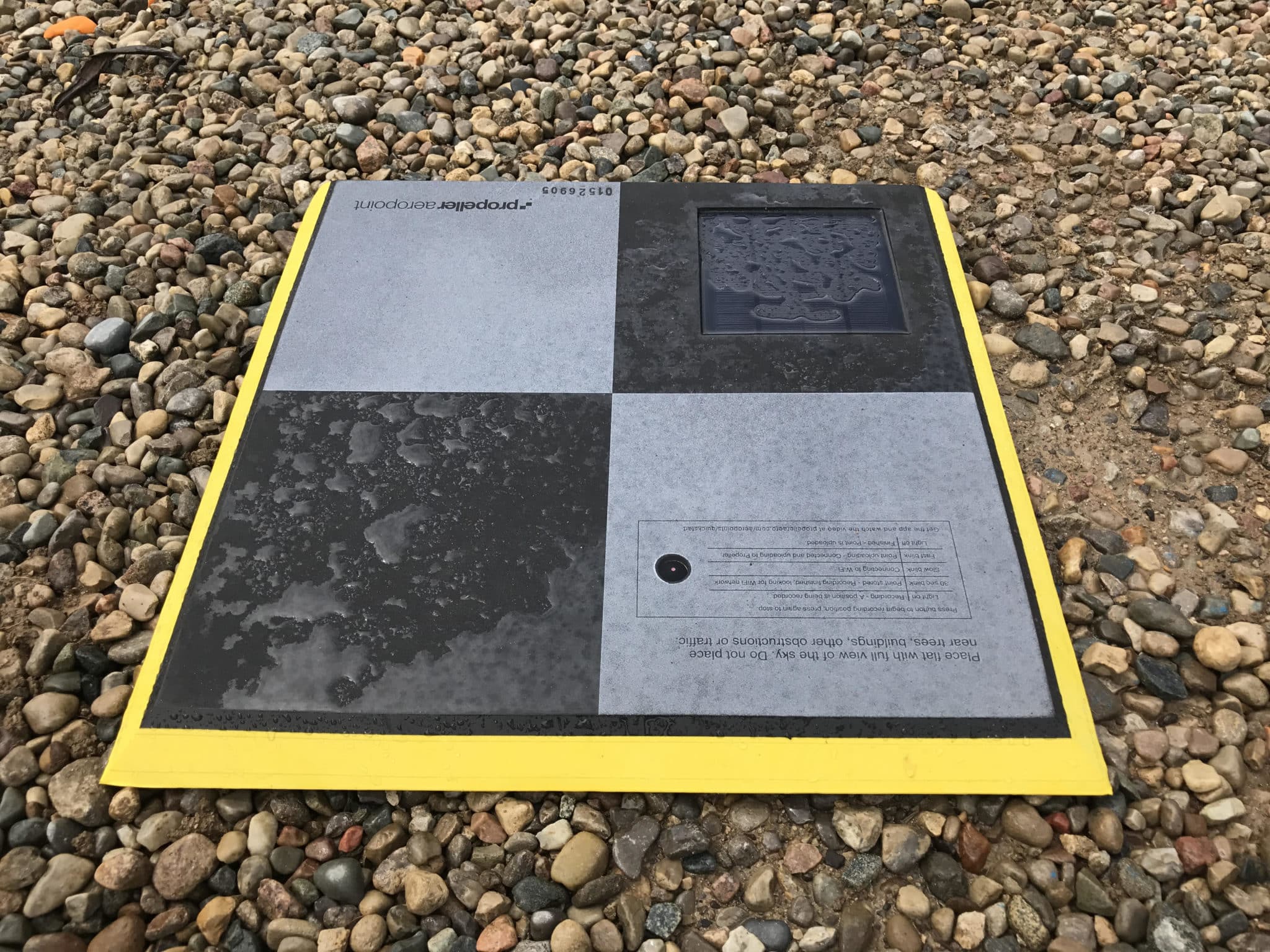
    Capture is fast and repeatable with AeroPoints and PPK drone mapping, and the resulting DEM lives in the same viewer your team already uses to run site checks and plan the next move.

    Earthwork at campus scale changes the math

    A single data center site can cover hundreds of acres. At that size, walking the job or relying on spot checks leaves too much unseen between surveys.

    A drone survey covers the full campus in one flight, and Propeller turns it into measurable surfaces you can act on the same day. That means cut/fill across every pad, stockpile volumes on every material, and a clear picture of how the site changed since the last capture.

    You can also fold in machine telematics and automated reporting so the office sees operator efficiency and daily movement without chasing the field for updates. When the data is this accurate, the whole team can stop guessing and start knowing.

    A pre-dirt checklist for data center site teams

    Before the first cut, and on a steady cadence after, make sure your workflow can answer these:

    • How much dirt are we really moving? Confirm cut/fill against design before you commit crews and haul.
    • Where will water go? Spot drainage risk on the current surface before a storm makes it a rework problem.
    • Is every pad hitting grade? Compare surfaces to design across the campus, not just the pad in front of you.
    • Do we have proof if the schedule slips? Keep timestamped, high-precision documentation that backs your position on any dispute.
    • Does everyone see the same site? One shared map means the office is not making calls on a picture that is a week old.

    On a project where every month is worth $14 million, the site team’s job is not just to move dirt. It is to move it right the first time. That starts with knowing exactly what the ground is doing, today.

    Frequently asked questions

    How much does a data center construction delay cost?

    Estimates put the cost of a 60MW data center delay at up to $14.2 million a month in lost revenue and carrying costs. Because power-on dates drive the return on the whole facility, every month of slippage is expensive, which is why the earthwork phase carries so little slack.

    Why does site prep matter so much for data centers?

    Site prep sets the pace for everything vertical that follows. Grading, drainage, and pad construction have to finish clean before foundations, MEP, and transformer installs can begin. A problem in the earthwork phase cascades into the long-lead work stacked on top of it.

    How does drone survey data help keep a data center build on schedule?

    A drone survey captures the full campus in one flight and turns it into measurable surfaces the same day. Teams can compare surfaces to design, track cut/fill and stockpiles across every pad, and make grading decisions in days rather than waiting on the next scheduled survey.

    Can Propeller replace a fully engineered hydraulic or geotechnical model?

    No. Propeller is built for fast operational decisions on your current site surface. For detailed hydraulic modeling, soil infiltration, or geotechnical validation, you will still want specialized engineering software. Propeller keeps the day-to-day earthwork decisions moving.

    Quick links

      Related articles

      Better Blast Planning, Monitoring and Quarry Reporting Using Drone Data

      Making decisions with the most up-to-date and reliable information is critical for any site manager,…

      Six smart ways to use drones in mines and quarries

      The use of drones in mines and quarries is common, but these sites are highly…

      Cross Section Survey in a Matter of Minutes Using Drone Data

      With the power of drone-captured data and the Propeller Platform, surveying cross sections becomes as…

      Ready to learn how Propeller can power up your worksite?

      We’re happy to show you how Propeller can power your worksite, and boost productivity.

      Related articles

      Drone pilot in hi-vis flying a drone next to a crane, with an AeroPoint on the floor.

      Things To Know About Ground Control in Drone Surveying

      Ground control is the go-to option for turning drone data into highly accurate, survey-grade models.…
      DJI M4E flying in the sky

      Propeller’s Drone Guide: DJI Solutions for Commercial Operations

      At Propeller we love testing new drone hardware and we are processing hundreds of drone…

      Telecom Tower Inspection using DJI Phantom 4 Pro: Step-by-Step Guide

      A few weeks ago a new DJI Phantom 4 Pro was delivered to our office.…