Resource Center

Real stories, helpful guides, and the latest from the field.

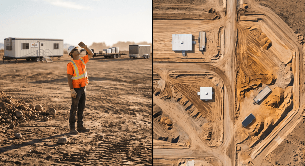
Aerial 3D render of a data center construction site with graded earth, utility trenches, and drainage controls transitioning into a digital site map
Featured article

The data center environmental risk contractors can actually control

Data center projects move fast, disturb large areas, and invite scrutiny over how teams manage land, water, and utilities. A clear, timestamped site record is the environmental risk contractors can actually control.

Power Hour: Measure haul road compliance in minutes
Read time: 3 mins
Get ready for Propeller’s Release Blitz
Read time: 3 mins
The complete guide to hydrology planning on active jobsites
Read time: 4 mins
Prepare for the thaw: How to predict snowmelt runoff on your worksite
Read time: 5 mins
Power Hour: Understand water flow and manage drainage
Read time: 4 mins
Model flood levels on your active site map
Read time: 3 mins
Spot runoff risks before they’re a problem
Read time: 4 mins
Follow the flow paths: How to see where water will go
Read time: 4 mins
hydrology feature for SWPPP
Get storm-ready: Modeling rainfall on your actual site surface
Read time: 4 mins
Why 3D mapping is the best construction management software for small contractors
Read time: 3 mins
LiDAR vs photogrammetry: which drone survey method is right for your site?
Read time: 5 mins
How drone surveys close the construction progress gap
Read time: 3 mins