Data center projects move fast, disturb large areas, and invite scrutiny over how teams manage land, water, and utilities. A clear, timestamped site record is the environmental risk contractors can actually control.

DirtMate Centimeter-level machine guidance and fleet telematics for earthmoving
AeroPoints High-accuracy ground points for faster, reliable surveys
Propeller CAD AI-powered earthworks design built directly on your real survey terrain
Drone & hardware integrations Connect Propeller with your existing tools seamlessly

Data center projects move fast, disturb large areas, and invite scrutiny over how teams manage land, water, and utilities. A clear, timestamped site record is the environmental risk contractors can actually control.
The race to build AI infrastructure leaves little room for earthwork mistakes. Data center projects move fast, involve large disturbed areas, and bring more scrutiny to how teams manage land, water, drainage, utilities, access, and surrounding site conditions.
Contractors cannot control every external pressure around a data center build. They can control the quality of the site record.
That record matters because many environmental and site accountability questions come down to proof:
On fast-moving civil construction sites, those answers are hard to reconstruct after the fact. Conditions change daily. Utilities get buried. Temporary works move. Drainage paths shift. Clearing limits expand or contract. Small site changes become hard to explain if the only record is a folder of disconnected photos, field notes, and memory.
Propeller helps contractors document the sitework they control, so teams can keep projects moving with a clear, timestamped record.
The highest-value documentation is often the record teams capture before questions come up. For data center sites, that usually means documenting the work that affects schedule confidence, environmental accountability, and stakeholder alignment.
1. Clearing limits and disturbed areas
Large data center sites often involve major earthmoving across wide areas. Teams need a clear record of where work happened and how disturbance changed over time.
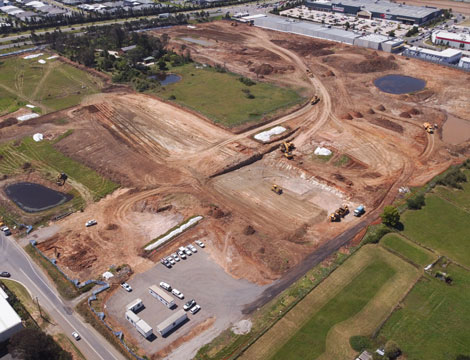
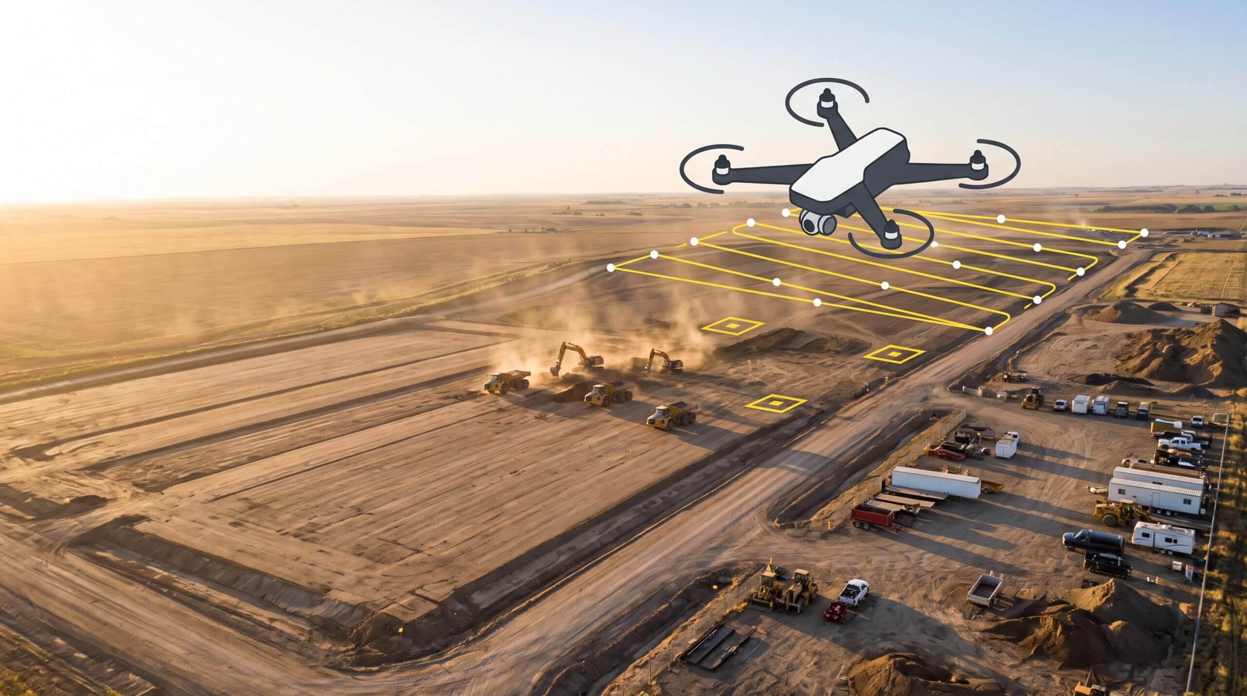
Repeatable drone surveys help teams capture clearing progress, disturbed limits, access routes, staging areas, and adjacent conditions. With a dated visual record, contractors can compare what was planned against what happened in the field.
That helps teams catch changes earlier and answer questions later.
2. Drainage, swales, and temporary controls
Drainage conditions can change quickly as grading progresses. Temporary controls may be installed, moved, repaired, or removed as work zones shift.
Documenting drainage features, swales, sediment controls, ponding, runoff paths, and water-adjacent work gives teams a clearer record of what was in place at each stage.
This is especially useful when owners, inspectors, or internal teams need to understand whether a condition was temporary, planned, corrected, or still open.
3. Utility corridors before they are covered
Data centers are utility-dense sites. Power, fiber, cooling, drainage, grounding, and temporary utility corridors can create accountability risk once they are buried.
Capturing trenches, duct banks, utility corridors, and surrounding site conditions before backfill gives teams proof that is difficult to recreate later. Drone survey can document location and progress from above, while 360 Walkthroughs or Handheld Scanning can add ground-level context where detail matters.
4. Machine control and design context
On large, schedule-driven projects, teams need confidence that field execution matches the latest plan. That becomes harder when designs change, crews move quickly, and multiple stakeholders need the same shared view.
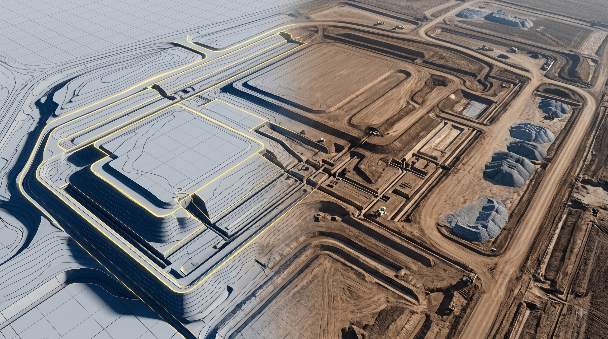
Propeller CAD helps teams bring design context into the field record, so current site conditions can be compared against the right plan. DirtMate and DirtMate RTK add more visibility into machine activity and field progress, helping teams understand where work is happening and how production is tracking.
Together, those records give teams a clearer view of what is built, what is changing, and what needs attention.
5. Before/after conditions
Before/after records are one of the simplest ways to reduce ambiguity. They help teams show what changed, when it changed, and whether the work matched the expected scope.
That matters near property boundaries, drainage areas, temporary works, access changes, utility corridors, stockpiles, and high-scrutiny work zones.
A timestamped history gives teams one shared record instead of relying on scattered photos or one person’s memory.
6. Exceptions and field changes
Not every condition will match the plan. Designs change. Field constraints appear. Temporary solutions become necessary.
The key is documenting the exception clearly: where it happened, what changed, what was decided, and what the site looked like at the time. Propeller helps teams connect current conditions, design context, measurements, markups, and reports in one place so the decision trail is easier to follow.
Most contractors already know which site activities carry environmental and accountability risk:
The risk is not just that something goes wrong. The risk is that nobody can prove what happened with enough clarity once questions come up.
That can create problems during inspections, owner reviews, internal handoffs, subcontractor conversations, community concerns, progress claims, or dispute resolution. If the record is incomplete, teams are left piecing together screenshots, photos, survey files, and messages after the fact.
Environmental obligations stay the same either way. A better site record simply makes the work contractors already manage easier to verify, share, and defend.
Data center projects bring more stakeholders, tighter schedules, and higher expectations for accountability. Contractors need a clear way to show what happened on site, why it happened, and what changed over time.
Propeller helps teams build that record as the work happens. Repeatable drone surveys, design comparisons, measurements, reports, 360 Walkthroughs, Handheld Scanning, DirtMate RTK, and Propeller CAD give contractors the context they need to document civil work clearly and share it with the people who need answers, all backed by consistent survey processing.
That record supports the workflows that matter most on data center sites:
On data center projects, environmental and site accountability risk often comes back to documentation.
Can the team prove what changed? Can they show when it changed? Can they compare the work to the plan? Can they explain exceptions with current site context? Can they share that proof with the people who need it?
Propeller helps contractors answer those questions from one trusted site record on the Propeller Platform, so teams can document the civil work they control before proof disappears.
See how Propeller helps contractors build a clear, timestamped record on fast-moving data center sites.
We’re happy to show you how Propeller can power your worksite, and boost productivity.