Propeller helps data center construction teams track civil progress, validate sitework, document buried utilities, and share one trusted record from field to office.
- Prove what changed
- Validate work against design
- Keep owners and teams aligned
Propeller helps data center construction teams track civil progress, validate sitework, document buried utilities, and share one trusted record from field to office.
Data centers may power AI, but they still start with dirt, utilities, drainage, roads, and pads. As demand accelerates, contractors need to prove the site is ready before small civil gaps become expensive delays. On a 60MW data center, even one month of delay can cost up to $14.2M in lost revenue and carrying costs.
Teams need a current record that shows:
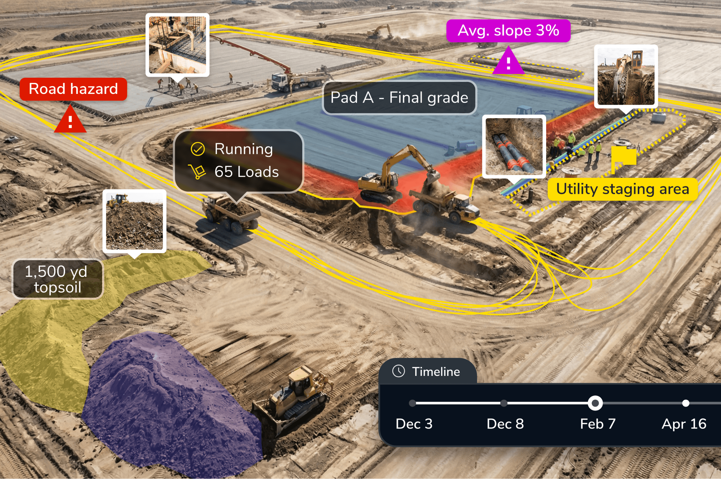
Before vertical work starts, teams need to confirm that pads, access, laydown areas, haul roads, staging, and temporary works are ready.
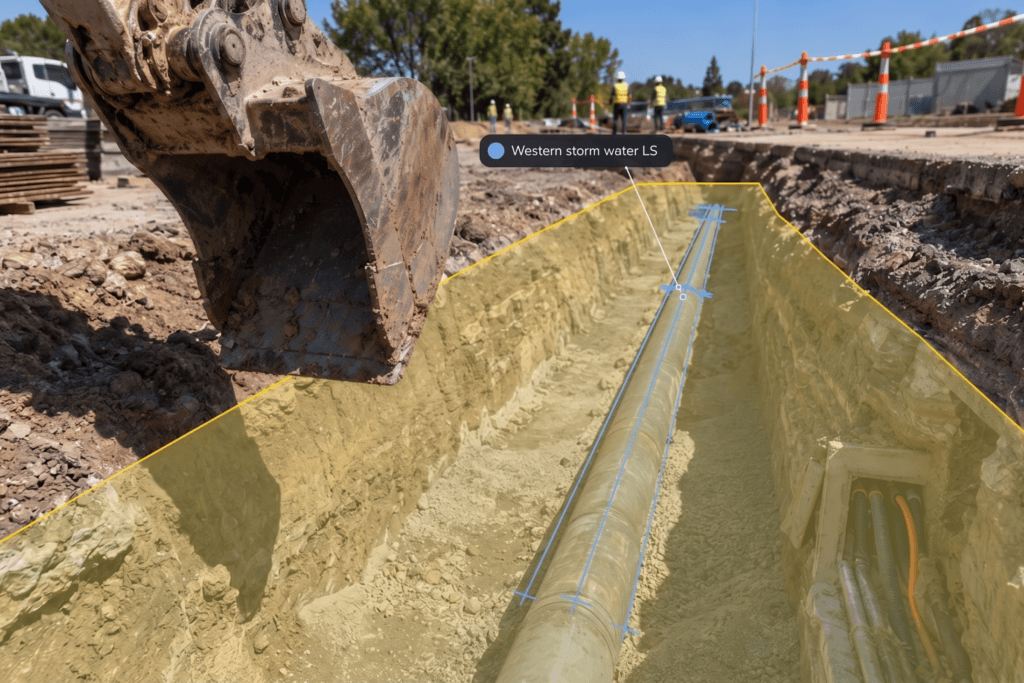
Data centers are utility-dense sites. Propeller helps teams document trenches, duct banks, utility corridors, and surrounding conditions before backfill.
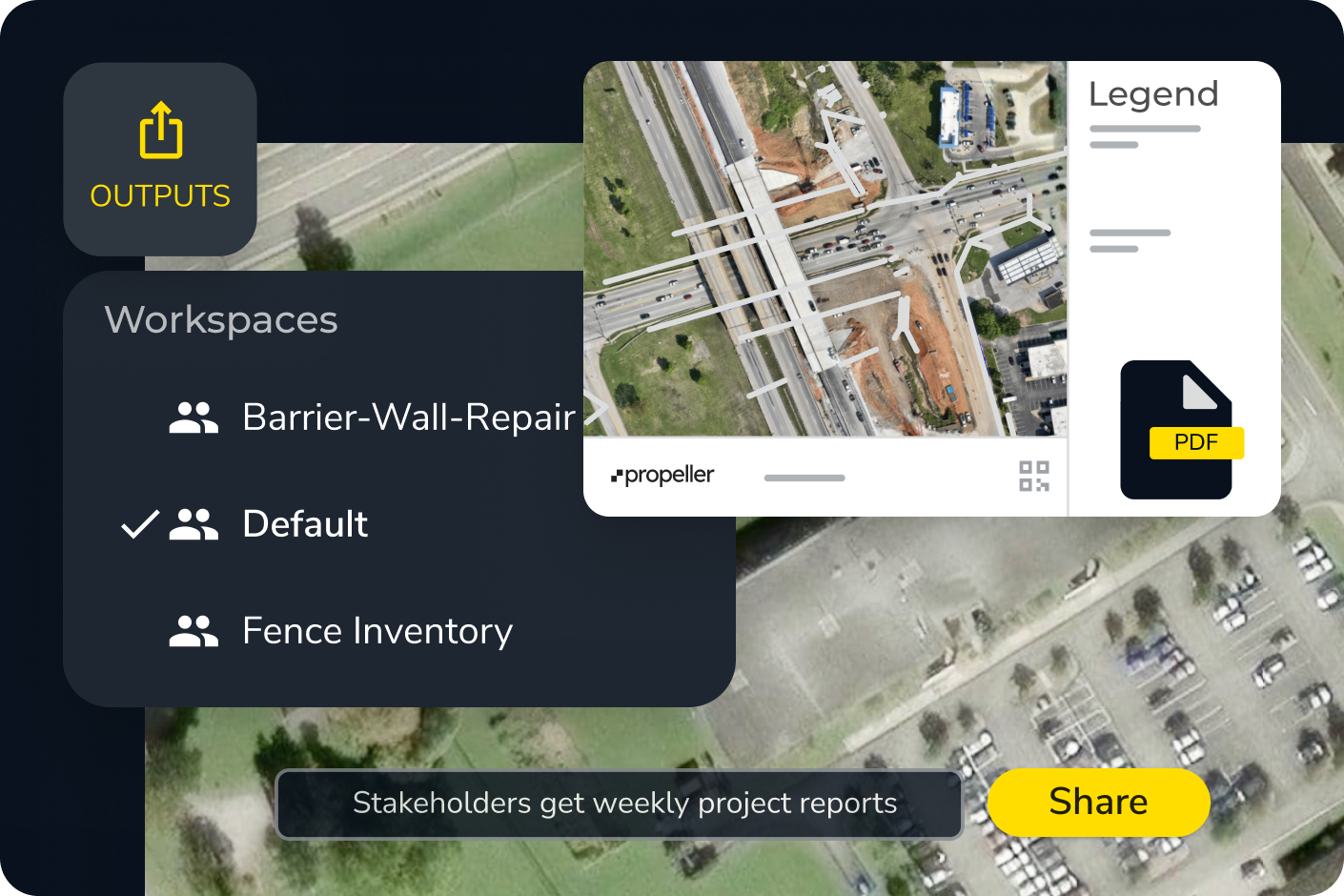
Owners, program teams, and JV partners need a shared view of progress, blockers, and readiness so teams can make decisions faster and keep schedules predictable.
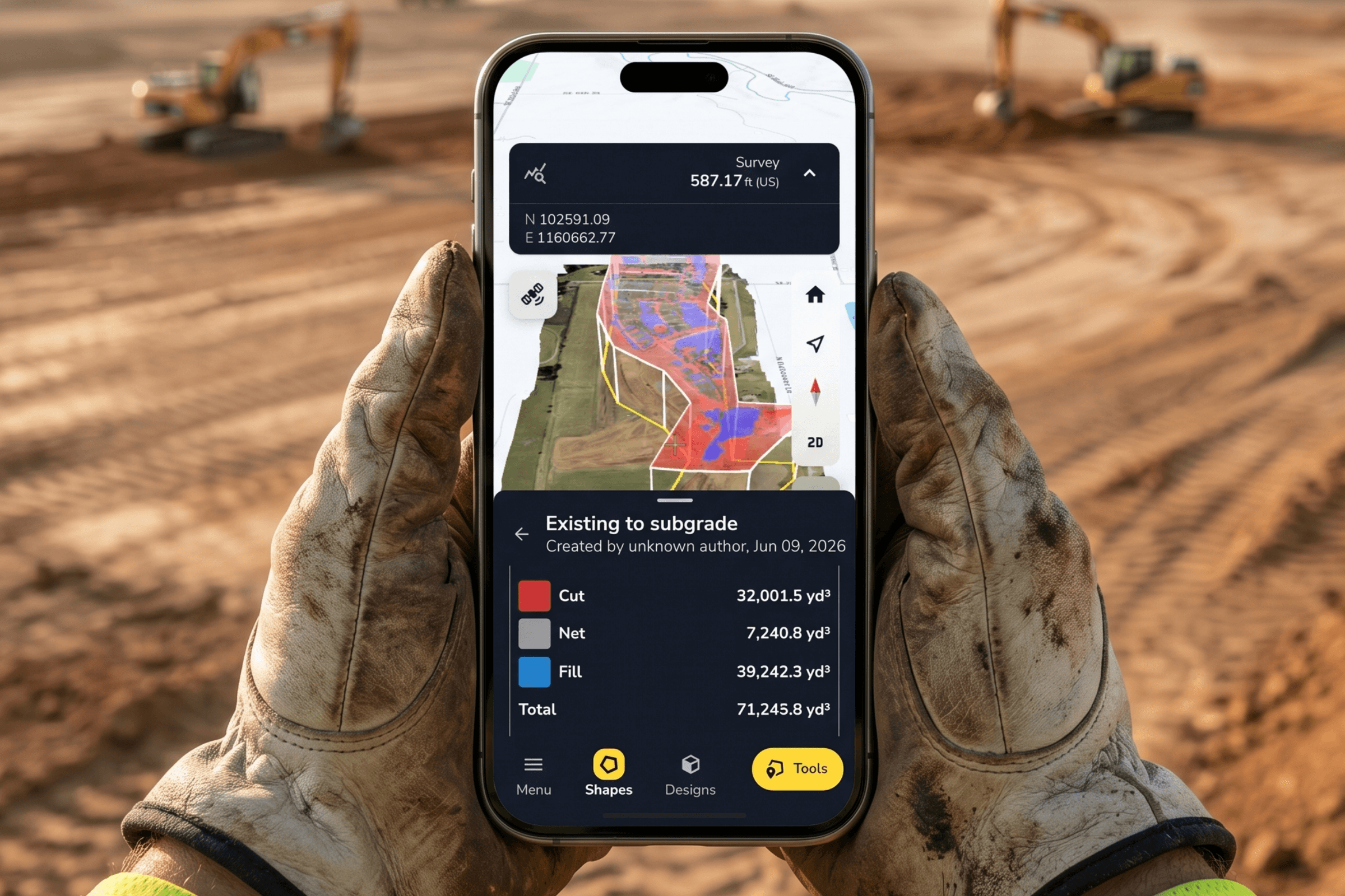
On data center construction sites, quantities change fast. Propeller helps teams tie cut/fill, pads, utilities, and work-in-place to dated site records.
Compressed schedules, buried work, changing designs, and multiple subs make proof critical before issues escalate.
Propeller helps contractors create a clearer record of the sitework they can control as scrutiny increases around power, water, permitting, and community impact.
Mortenson, an ENR Top 400 Contractor, is putting site data in everyone’s hands to scale innovation on their projects.
– Mickey Kocemba, Senior Lean Innovation Manager, Mortenson
Propeller connects each step so teams can capture what changed, check what is ready, compare work against design, and share proof without stitching together disconnected tools.

Bring designs, surveys, field checks, machine data, measurements, and progress updates into one shared civil map for every team moving the data center project forward.
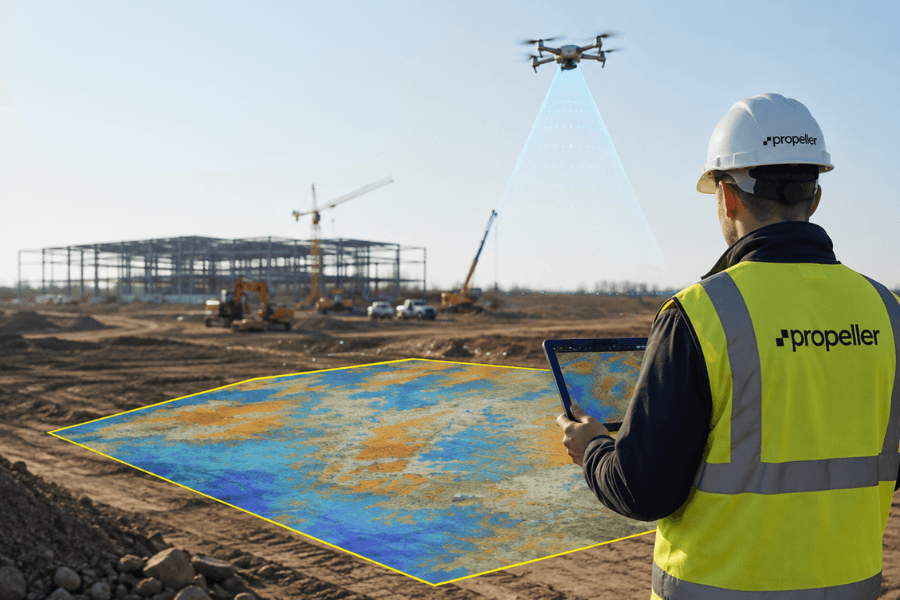
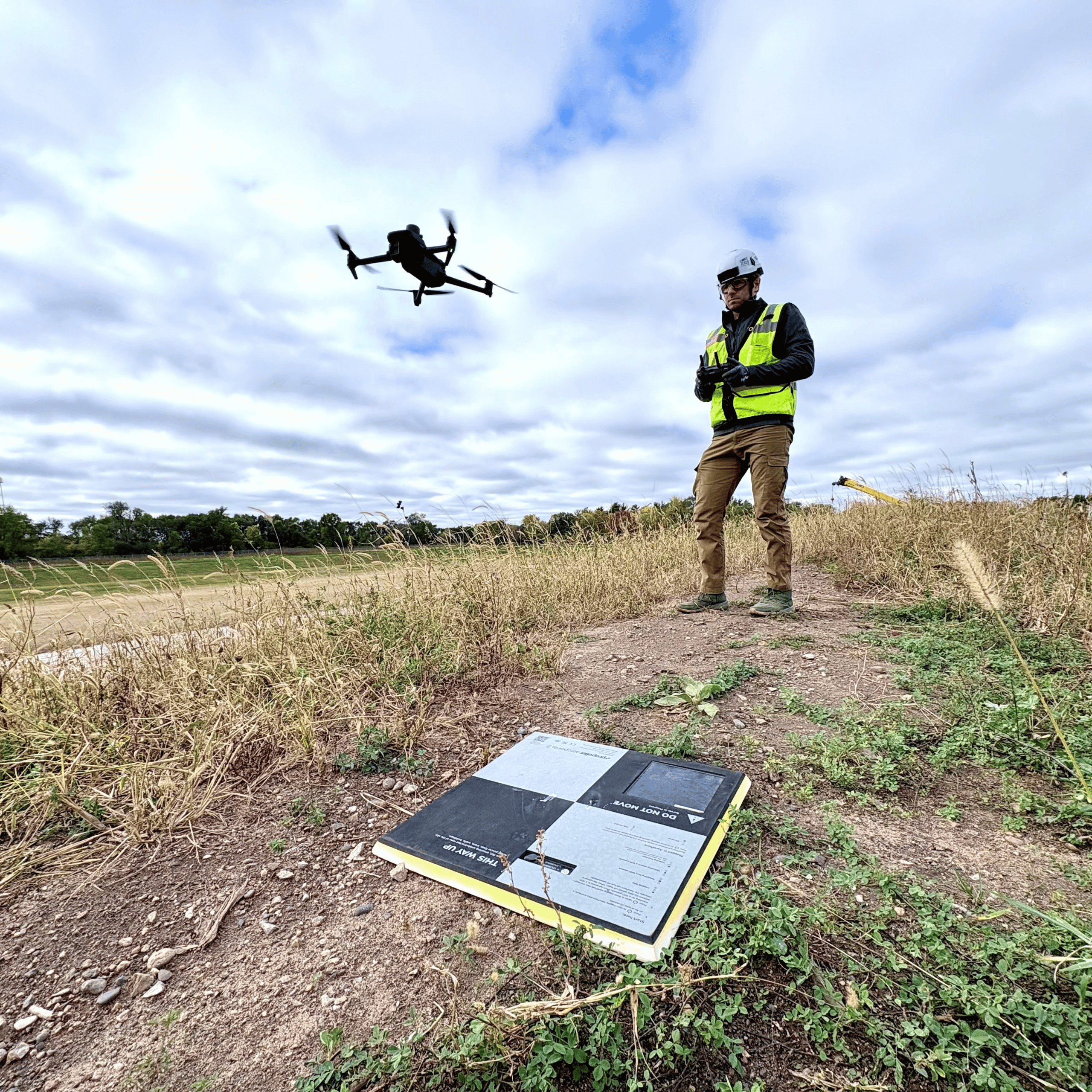
Create high-precision survey outputs for large data center sites by combining AeroPoints, drone data, and Propeller processing to deliver a 3D map, point cloud, and orthophoto.
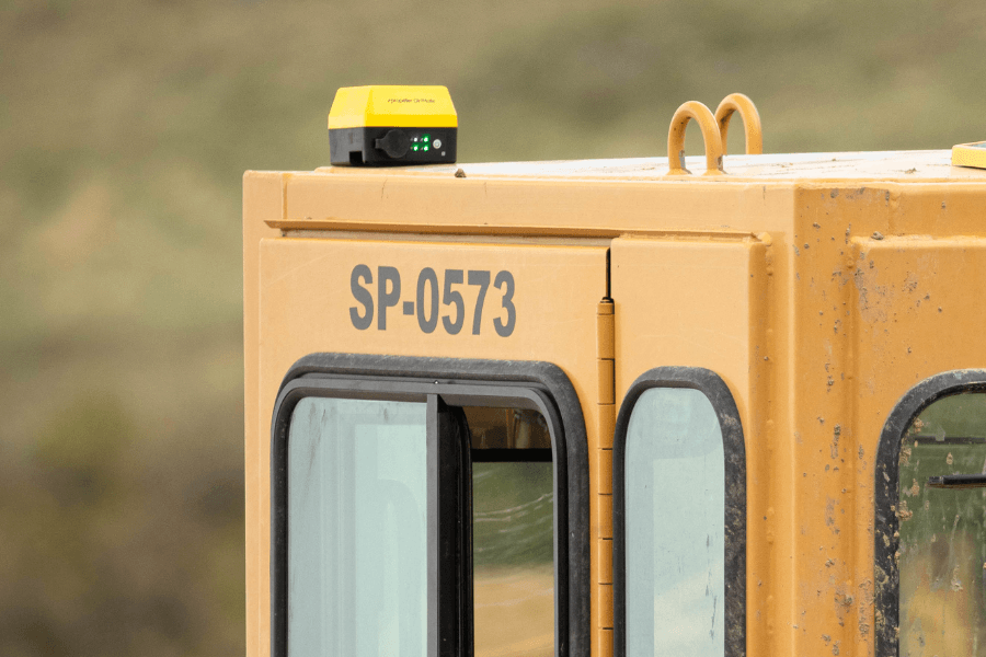
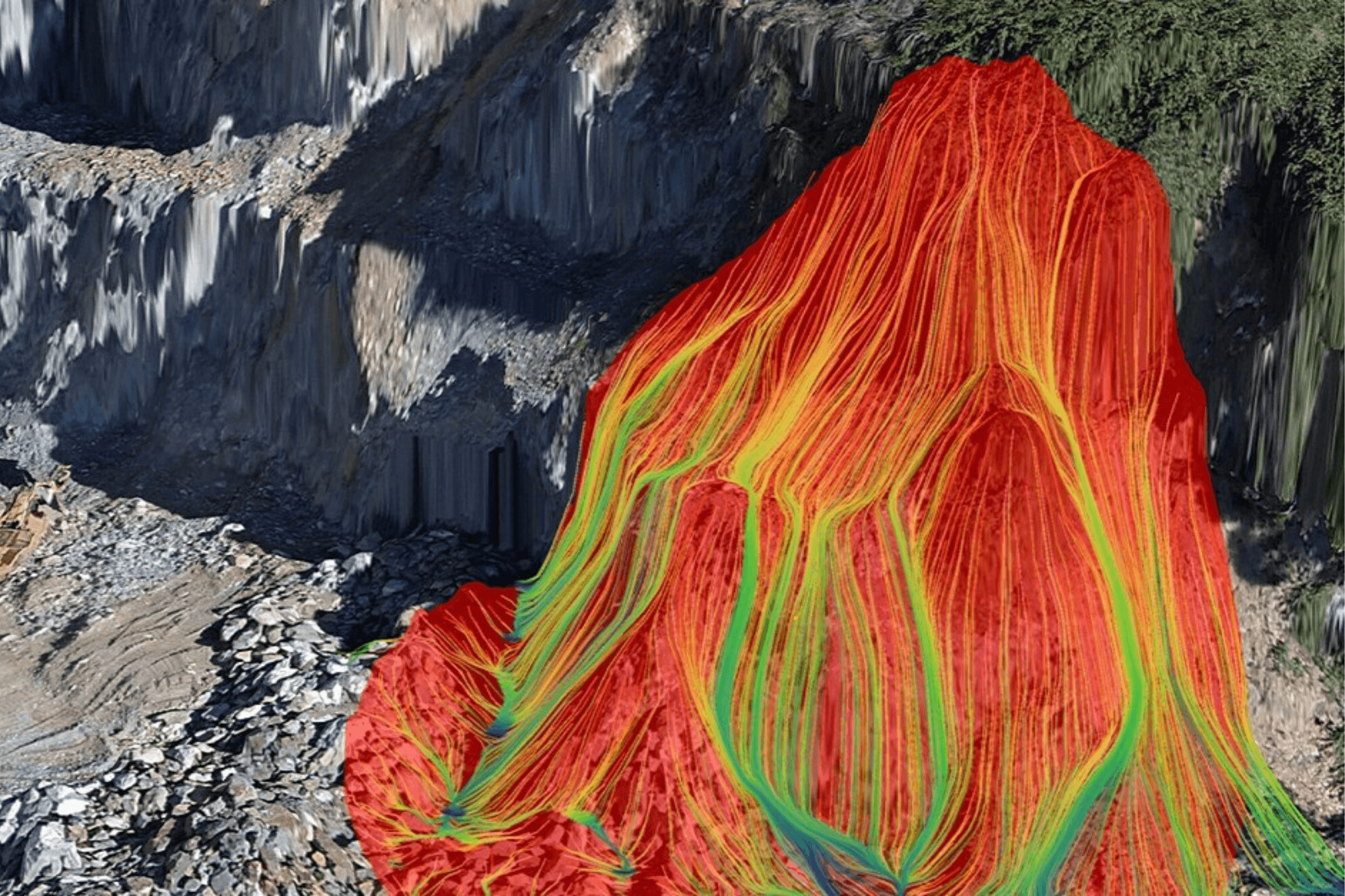
Track machine activity, surface changes, and earthmoving progress across data center grading areas, pads, access roads, haul routes, laydowns, and drainage work.
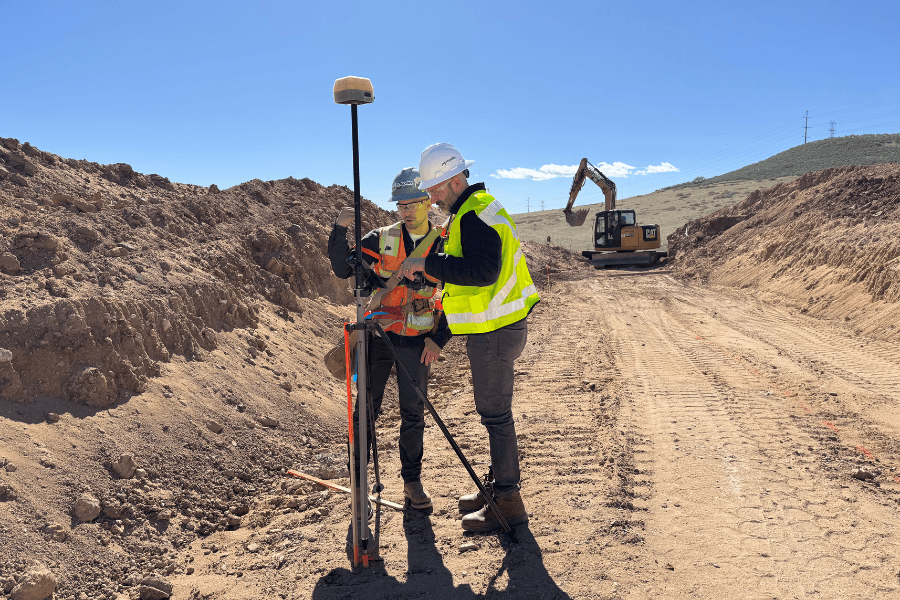
Check grade, record points, and confirm field conditions when data center crews need answers between survey milestones.
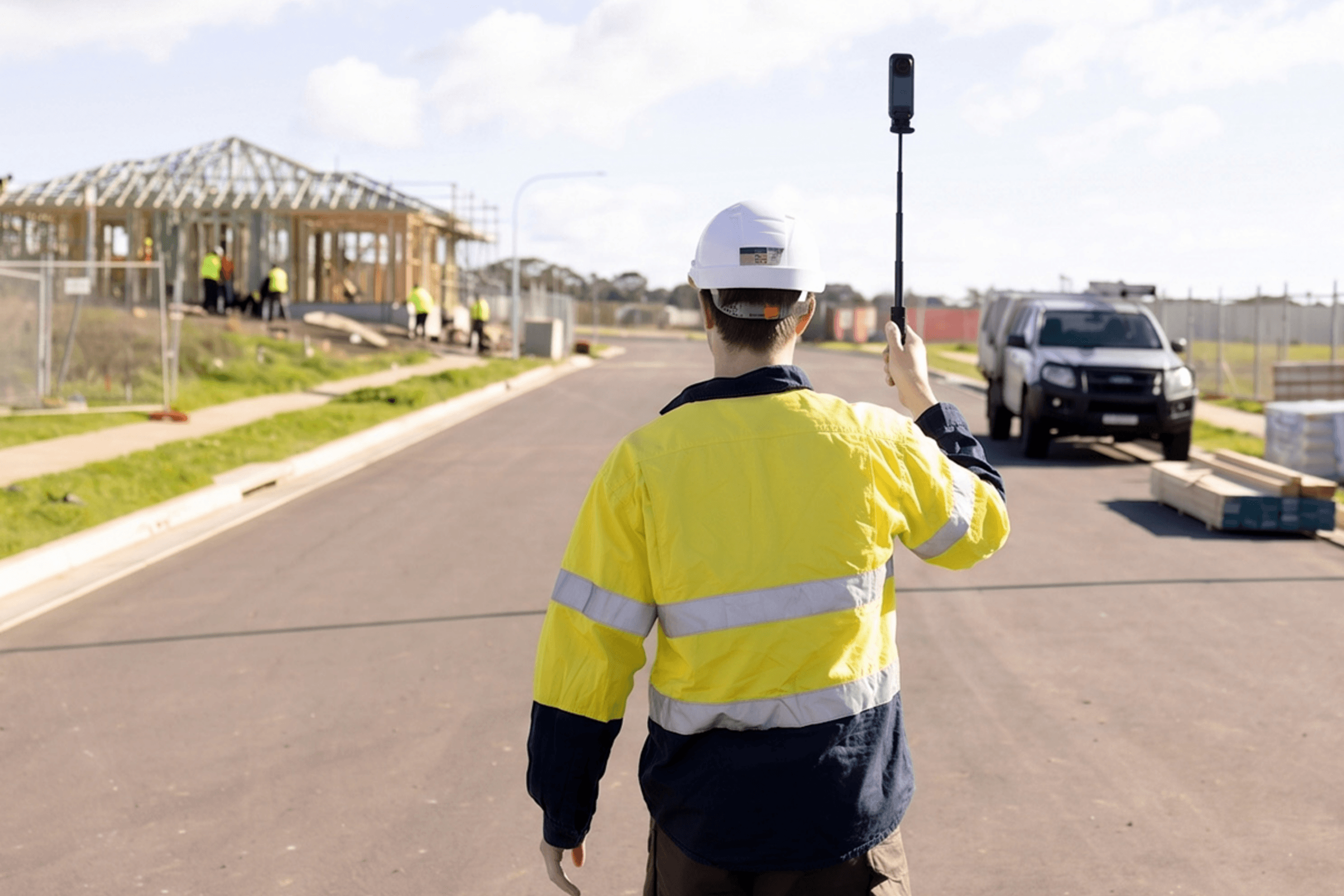
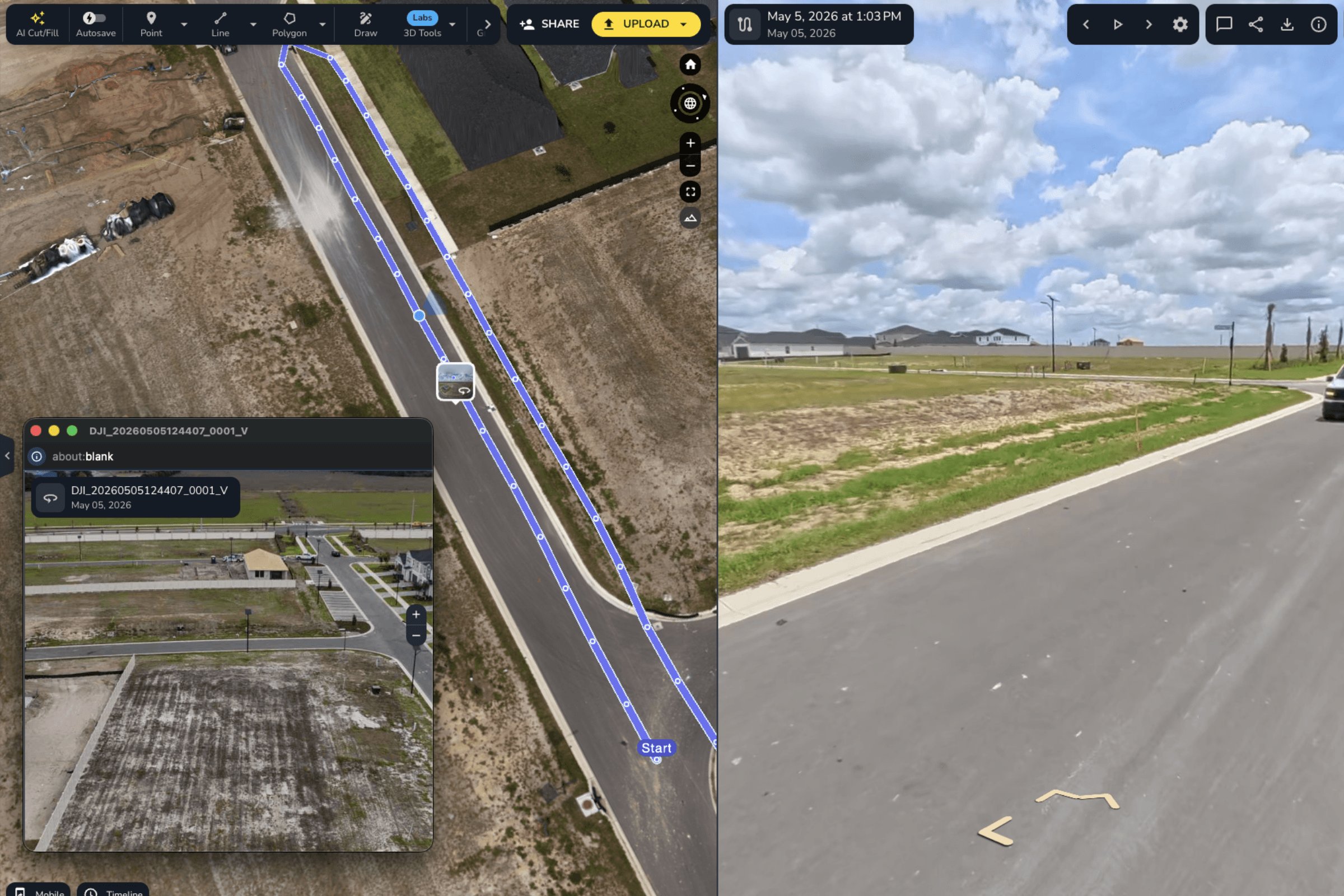
Document ground-level context across corridors, interiors, handoffs, and active work areas so data center owners, JV partners, and project teams can review site conditions without another walk.
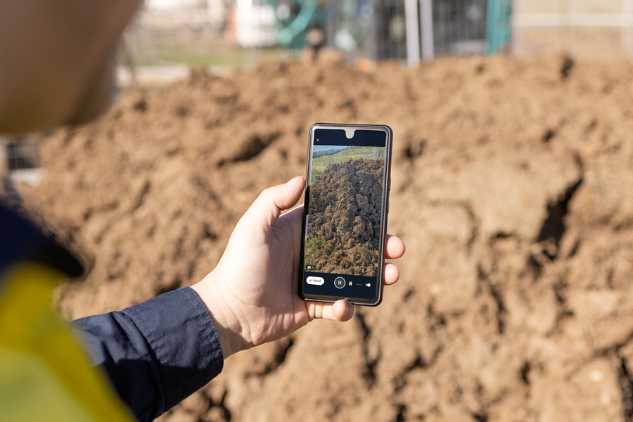
Scan hard-to-fly or easy-to-miss areas like trenches, duct banks, drainage structures, covered areas, and as-built details before data center work changes or gets covered.
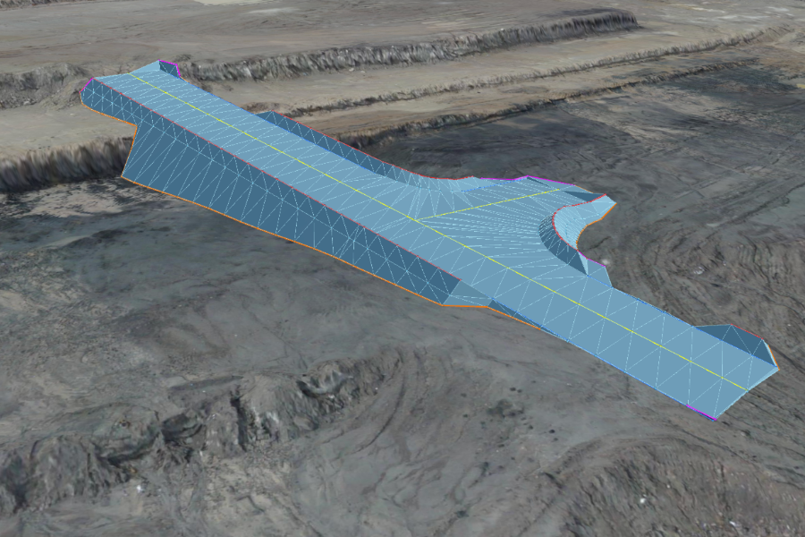
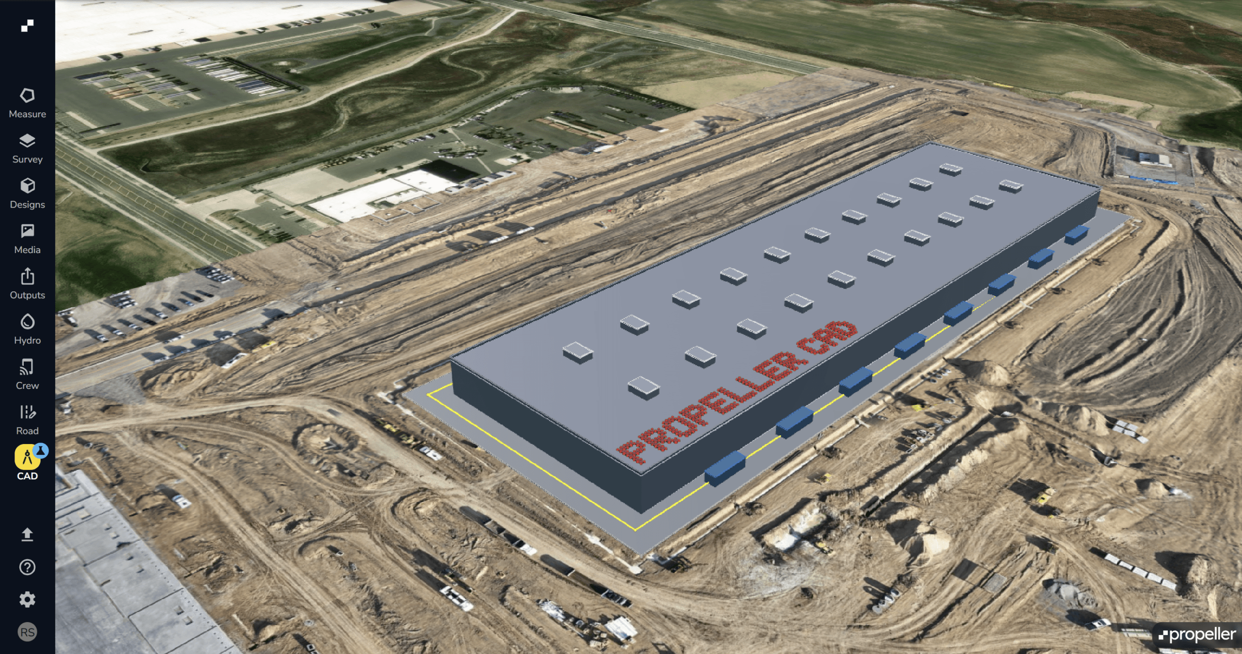
Turn current site conditions into workable civil options for data center pads, access roads, haul roads, drainage, staging, trenches, laydowns, and temporary works.
Give field, office, and owner teams the same site record to spot schedule risk, make decisions faster, and keep work moving with confidence.

Track readiness, progress, handoffs, schedule risk, and owner/JV updates from one shared record.
Validate grade, access, pads, laydowns, haul roads, drainage, and field context before work changes or gets covered.
Manage baseline capture, design conformance, surface comparisons, as-builts, buried utilities, quantities, and field-to-office handoffs
Standardize site data, design context, permissions, secure collaboration, reporting, integrations, and adoption across large project teams.
Validate quantities, cut/fill, work-in-place, production, pay app backup, forecasting, and change conversations with dated site records.
See progress, risk, readiness, handoffs, and proof across active work without another site walk.
Combine drone surveys, machine telematics, and automated reporting into a single integrated platform built for hyperscale data center projects.
See how Propeller helps data center construction teams track progress, validate sitework, document buried utilities, and give every team the confidence to keep work moving.
Yes. Propeller maintains SOC 2 Type 2 compliance and undergoes annual external audits. Customer data is encrypted in transit using HTTPS with TLS 1.2 or higher and encrypted at rest using AES-256. Propeller supports SSO through OAuth2, OpenID Connect, and SAML, plus MFA through SSO integrations and Passkeys. Customers can request SOC 2 reports, BCDR plans, and other security documentation through the Propeller Trust Center.
Yes. Propeller gives owners, program teams, JV partners, and contractors one shared civil record for progress, readiness, risk, handoffs, and proof. For teams managing multiple projects, Propeller can help standardize how civil records are captured, measured, and shared across sites.
Propeller helps teams capture trenches, duct banks, utility corridors, drainage, grounding, power and fiber corridors, and surrounding site conditions before backfill. Drone surveys provide the measurable site record, while 360 Walkthroughs and Handheld Scanning add ground-level context where details are harder to capture from above.
Propeller CAD helps teams create review-ready civil options from current site conditions, then send final designs through the right expert review and approval process.
ield builds, expansions, infrastructure upgrades, utility and drainage work, major sitework, and turnover documentation anywhere teams need a clear record of civil progress and site conditions.
Propeller helps teams compare current site conditions against design files, create high-precision survey outputs, and share reports or site views with field, office, VDC, owner, and partner teams. Propeller CAD can also help teams create review-ready civil options and export to downstream workflows for expert review where appropriate.
The right capture workflow depends on what teams need to prove. Drone surveys support sitewide progress, quantities, surfaces, and design comparisons. 360 Walkthroughs and Handheld Scanning add ground-level context for utilities, corridors, and hard-to-capture areas. DirtMate RTK helps teams validate grade and production between survey milestones, while DJI Dock can support repeatable capture on fast-moving sites.