Propeller Advanced Workshop Recap

Read Time: 4 mins
Quick links

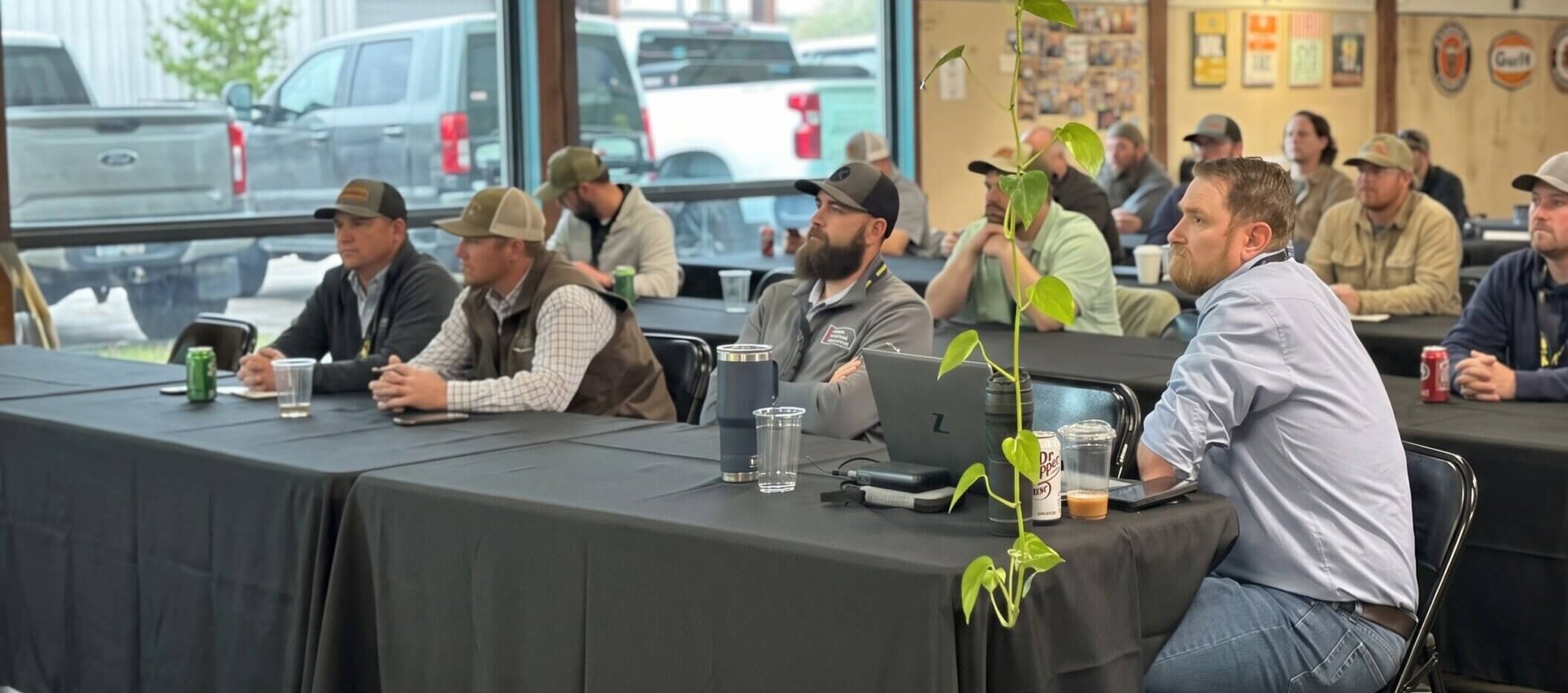
    Propeller’s Advanced Workshop in Denver covered four sessions on daily field-to-office workflows, 3D measurement shortcuts, drone survey accuracy setup, and the Propeller product roadmap, giving project managers, surveyors, and site engineers concrete techniques to get more out of the platform on active sites. The sessions shared a common theme: the difference between good data and trusted data comes down to consistent field setup and workflows teams actually share.
    From daily planning workflows to advanced drone photogrammetry, the back half of the day at Propeller’s Advanced Workshop in Denver went deep and got specific. Here are the moments worth taking back to your team.

    The story so far

    In case you’re just joining us, the Advanced Workshop covered two parallel tracks across the afternoon, plus a closing Q&A with Propeller’s CTO. Here’s what the day looked like:

    • Joe Ballandby: Daily field-to-office workflows
    • Zach Miller: 3D measurements and analysis
    • Carl Breer: Advanced field methods
    • Jacob Richter: Product Q&A and what’s coming next

    Who this is for: Project managers, foremen, survey managers, and engineers who want to get more out of the Propeller platform on active sites.

    The throughline: Data is most valuable when it’s shared. Workflows stick when teams build them together.

    The map is the meeting

    Joe Ballandby’s session on daily field-to-office workflows started with a reframe that stuck: the map isn’t a reference document. It’s your morning briefing.

    The workflow he walked through begins before the shift does. Office teams set up workspaces, mark hazards with severity levels, and link design files so that by the time the crew arrives, the plan is already on their phone. Field teams aren’t just viewing data, they’re creating it. Polygon measurements against design surfaces. Elevation checks in real time. Point updates pushed back to the office the moment they happen.

    The media function got a reframe too. Pinning a photo to a location sounds like a documentation habit. Joe positioned it as something closer to margin protection: a geotagged image tied to an exact survey point is a timestamped, verifiable record. That matters when a subcontractor disputes a quantity, when a client wants proof of progress, or when a regulatory audit arrives. The photo isn’t just a photo. It’s evidence.

    Two tracks, one takeaway

    The 3:00 PM Power Hour split the room, with Zach Miller on 3D measurements and analysis and Carl Breer on advanced field methods. Both sessions went in different directions and landed in the same place: the difference between good data and trusted data is in the setup.

    Zach’s track: make your measurements work harder

    Zach’s session was a masterclass in the gains that compound. Save your first stockpile measurement as a custom template, set a target folder, turn on auto-save, pin the tool to a hotkey. What used to be a draw-name-configure-save loop for every pile becomes shift-click, shift-click, done.

    A few other moments that got the room’s attention:

    Terrain cleanups aren’t just for aesthetics.

    Got a truck sitting on top of a stockpile or a power line that didn’t get filtered in processing? The cleanup tool lets you edit the surface directly, draw a polygon, add breaklines, push it to the correct elevation. Raw output files don’t include those edits. The custom measurement export does. That distinction matters more than most people realize until it doesn’t.

    The design-to-measurement conversion.

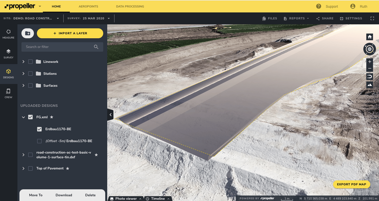
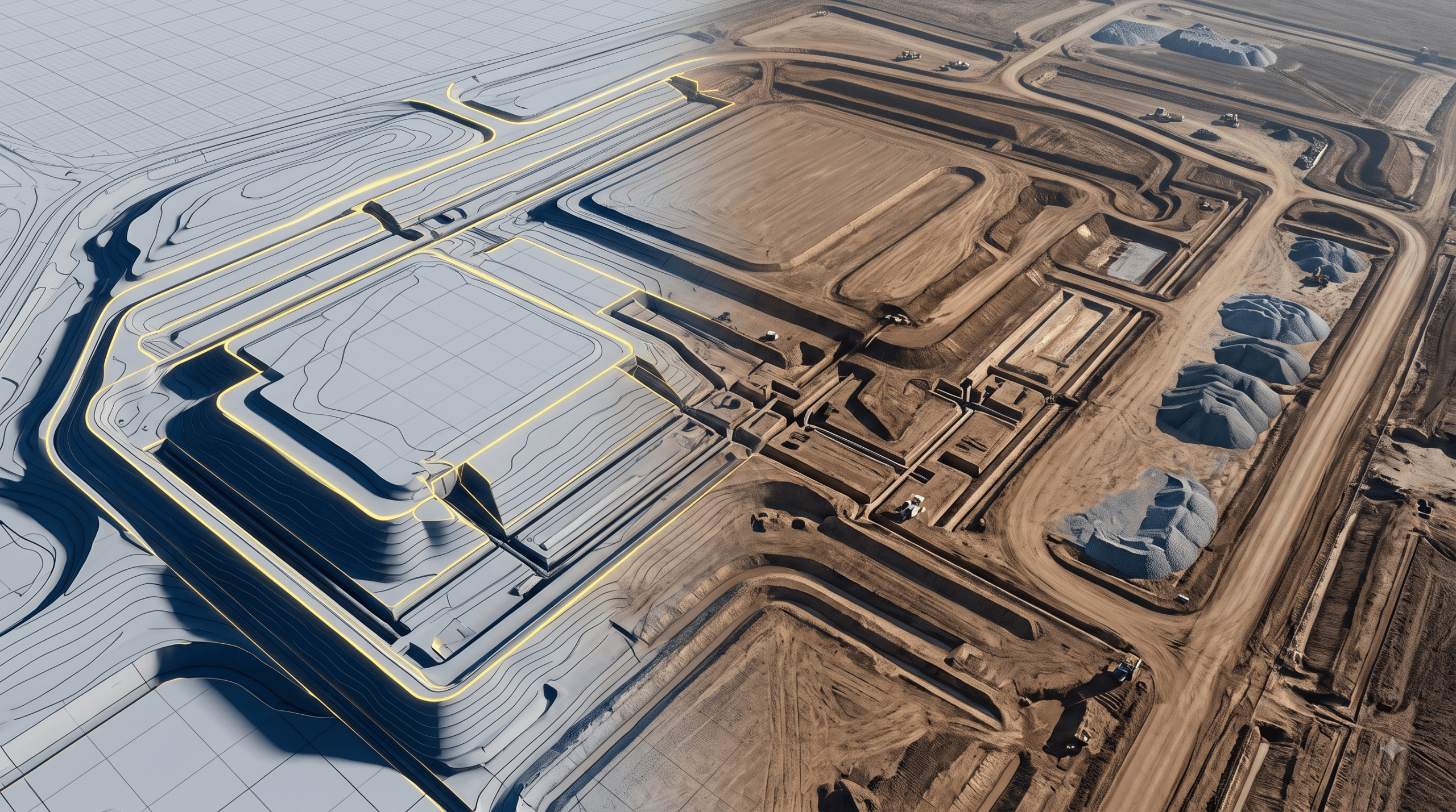
    Instead of redrawing a polygon around your design perimeter, click the design until the yellow line appears, convert to measurement, and run your cut-fill directly. One less step nobody loved doing.

    Coming soon: 3D measurement tools in Labs.

    Measure vertical faces, get bridge clearances, draw crane radii on the model. Early access is available now, so ask your CSM.

    Carl’s track: how your field setup determines your data quality

    Carl Breer came from GPS surveying before Propeller, and it showed. His session was a ground-up explanation of why some surveys sail through processing and others land in the QA hold queue.

    The short version: more redundancy, less variability, faster results.

    Carl walked through six levels of processing accuracy, from a Level 0 flight with no ground control, accurate internally but floating in space relative to everything else, up to Level 6: a DirtMate unit mounted permanently on-site, functioning as a fixed base station alongside AeroPoints and traditional ground control.

    That last setup was the session’s standout moment. The same internal technology as an AeroPoint, housed in a rugged casing, permanently powered, never moved between flights. Every time an AeroPoint gets placed slightly differently, it introduces a small variable. Remove the variable, and survey-over-survey consistency improves. For long-term sites where precision is worth real money, it’s the setup worth building toward.

    A few practical reminders regardless of which level you’re working at:

    • Keep flight settings consistent between surveys
    • Place AeroPoints at least 50 feet from metal objects and buildings
    • When a QA hold email arrives, reply directly to it. That’s the fastest path to the person actually working your data

    Jacob’s Q&A: what’s coming and why it matters

    Jacob Richter, Propeller’s CTO, closed out the formal program, and the energy in the room by that point made for a genuinely good conversation.

    AI is already in the platform in ways most people don’t realize.

    “Magic Polygons” and background photogrammetry processing are AI-driven today. What’s coming is more active: automatic feature counting (manholes, solar panels, drain pipes), bulk workflow assistance, and early experiments in light CAD design creation directly in the Propeller platform. For customers who need something more specific, Propeller is already helping some build custom detection models. One European customer is using a trained model to count 1-inch steel plates along a 300km gas pipeline, where a missing plate means a $1,000 fine per day. Jacob’s vision: eventually you’ll be able to tell the platform what to find, and it will.

    Closing the field-to-office gap is the Q1 and Q2 mission.

    Three things coming: 360 camera support via an Insta360 partnership, giving teams a Google Maps-style walkthrough experience tied to their site map; handheld scanning using a phone to capture photogrammetry-type scans; and field forms, digitizing paper processes like dig permits so they can be managed inside the platform. Offline mode is also in active development, with the ability to pre-cache maps and design files so the app stays functional in areas with poor connectivity.

    The LiDAR roadmap got a lot of attention.

    Propeller has seen significant growth in LiDAR adoption over the last 12 months and is planning a full revamp in the second half of the year: better turnaround times, more classification options, manual reclassification tools, and expanded support beyond drone-mounted sensors to handheld LiDAR scanners.

    Jacob closed the session the way he opened it, direct. “Tell me your complaints, what pisses you off, and what you wish you saw. You telling us what’s wrong is how I know what to fix.”

    That’s the kind of Q&A that makes people stay for happy hour.

    The bigger picture

    Across every session, the same themes kept surfacing. Data is most valuable when it’s shared. Workflows stick when teams build them together. And the distance between a good idea and a repeatable process is usually just one conversation with someone who’s already figured it out.

    That’s what a day like this is designed to close.

    If you’re interested in joining us for the next Propeller Advanced Workshop, stay tuned, more dates are coming.

    Quick links

      Related articles

      Better blast planning, monitoring and quarry reporting using drone data

      Propeller gives mining teams accurate pre- and postblast site data by combining high-precision drone surveys…

      Six smart ways to use drones in mines and quarries

      The use of drones in mines and quarries is common, but these sites are highly…

      Cross section survey in a matter of minutes using drone data

      With the power of drone-captured data and the Propeller Platform, surveying cross sections becomes as…

      Ready to learn how Propeller can power up your worksite?

      We’re happy to show you how Propeller can power your worksite, and boost productivity.

      Related articles

      Drone pilot in hi-vis flying a drone next to a crane, with an AeroPoint on the floor.

      Things To Know About Ground Control in Drone Surveying

      Ground control is the go-to option for turning drone data into highly accurate, survey-grade models.…
      DJI M4E flying in the sky

      Propeller’s Drone Guide: DJI Solutions for Commercial Operations

      At Propeller we love testing new drone hardware and we are processing hundreds of drone…

      Telecom Tower Inspection using DJI Phantom 4 Pro: Step-by-Step Guide

      A few weeks ago a new DJI Phantom 4 Pro was delivered to our office.…