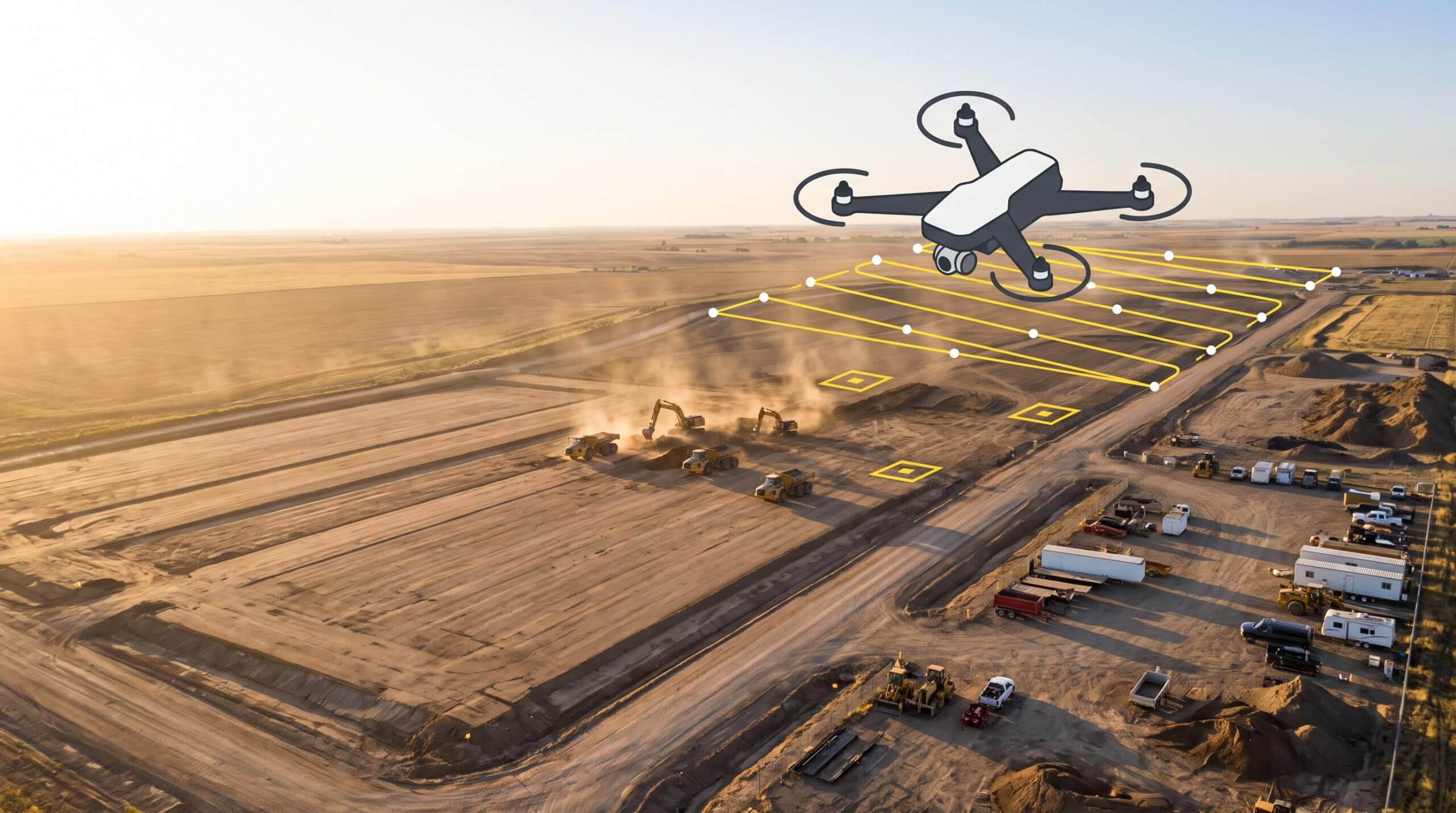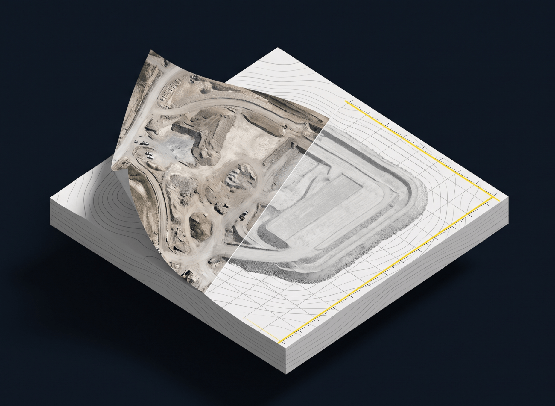
Orthophotos are geometrically corrected aerial images that work like a measurable map, letting construction and survey teams check distances, areas, and positions across a site. This guide covers how they’re built from drone photogrammetry, what actually drives their accuracy, and why coordinate systems like WGS84 determine whether your data lines up with design files.

Local Grid Explained: How Propeller Can Help You Deliver Your Site Data in Local Coordinates
Propeller makes it easy for you to use your local site calibration for your surveys.…