Resource Center

Real stories, helpful guides, and the latest from the field.

Featured article

How drone surveys help you win bids and prove progress

Accurate drone survey data helps earthworks teams bid competitively, then keeps proving progress and protecting margins from groundbreaking through completion.

Product
Reset
Industry
Reset
Workflow
Reset
Region
Reset
Increasing project efficiency with topographic drone surveying
Read time: 5 mins
Inside Propeller #2: Progress tracking tools for Project Managers
Read time: 4 mins
The invisible maze: 7 civil checkpoints for data center builds
Read time: 4 mins
Inside Propeller #1: The tools that power earthwork in the Propeller platform
Read time: 5 mins
Propeller automated haul road analysis for mining and aggregates
Propeller and Spacesium: Automating the future of mining safety and operational intelligence
Read time: 2 mins
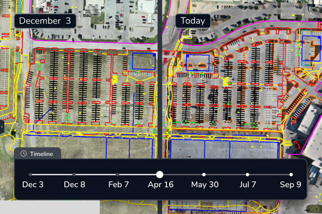
An example of a drone survey output for construction planning.
Understanding Drone Survey Outputs
Read time: 7 mins
data-management-icons-on-yellow-background
Site Survey Series #4: Real-time machine tracking
Read time: 3 mins
DJI Zenmuse L2 sensor
How LiDAR Drone Surveying Works
Read time: 7 mins
Propeller team members speaking at a conference
CONTOUR 2025: Connecting worksites, workflows, and the people who build them
Read time: 4 mins
Construction-two-machines-on-dirt-project
Big improvements to Propeller data processing speeds
Read time: < 1 min
data-management-icons-on-yellow-background
Site Survey Series #3: Creating composite surveys
Read time: 3 mins
Skydio X10 drone flying in the air
Meet the Skydio X10: High-accuracy drone mapping for complex sites
Read time: 2 mins