Resource Center

Real stories, helpful guides, and the latest from the field.

Two translucent topographic surfaces layered slightly out of alignment in cool blue and warm amber
Featured article

Why CAD overlays fail: File formats, site grids, and elevation errors

A technical walk through why design overlays shift and heatmaps turn one color, covering the four conditions every comparison must share, what each civil file format can and cannot tell you, and how to validate alignment before it becomes field instructions or closeout evidence.

Two construction workers looking at a laptop.
How to Convert DWG/DXF Files to GeoTIFF
Read time: 3 mins
Meet the Founders: Francis Vierboom
Read time: 7 mins
What’s the Difference Between Self-Processed Surveys and Propeller’s Workflow?
Read time: 3 mins
International LiDAR Mapping Forum 2019 Event Roundup
Read time: 3 mins
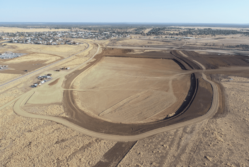
Suez Uses Drone Data to Improve Performance at Hallam Road Landfill in Victoria
Read time: 3 mins
Meet Your Customer Success Team: Ben Drew
Read time: 4 mins
Meet Your Customer Success Team: Mohammed Morsi
Read time: 3 mins
Conventional Surveys Pose Time, Cost, and Safety Risks on a Construction Site—So What’s Next for SEE Civil?
Read time: 4 mins
Design surface model shown on the Propeller platform.
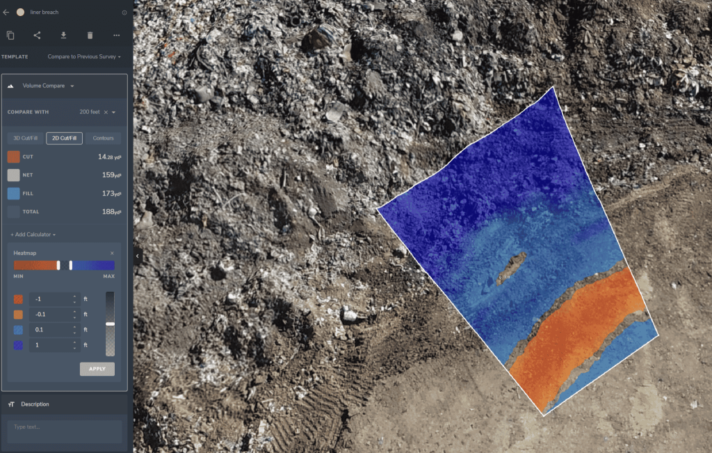
Landfill Cut & Fill Calculations
Read time: 4 mins
Meet Your Customer Success Team: Milo Vejraska
Read time: 4 mins
How Propeller’s Volume Measurement Tools Work
Read time: 3 mins
Meet Your Customer Success Team: McCain McMurray
Read time: 4 mins