Resource Center

Real stories, helpful guides, and the latest from the field.

Minimal illustration of a yellow location pin set into the ground with topographic contour lines rippling outward
Featured article

DirtMate RTK 101: Centimeter-level positioning for grade checks, stakeout, and in-cab guidance

DirtMate RTK is a subscription upgrade to DirtMate hardware that delivers centimeter-level GPS positioning for grade checking, point capture, stakeout, and live in-cab cut/fill display, using a base-and-rover correction setup or an existing NTRIP network. It closes the gap between weekly drone surveys and daily field decisions, letting foremen and operators verify grade independently without mobilizing a survey crew. Validated to within 2/100ths of a foot against a Trimble rover on an active civil site, it’s built for field supervision tasks between survey milestones, not as a replacement for licensed survey work.

Product
Reset
Industry
Reset
Workflow
Reset
Region
Reset
New: Point Cloud Uploads in Propeller
Read time: < 1 min
Meet Your Engineering Team: Rusty Harding
Read time: 4 mins
Propeller Turns Five: Looking Back at The Last Five Years
Read time: 6 mins
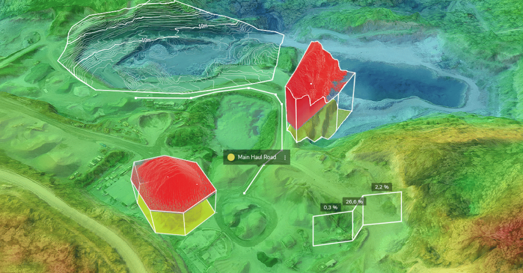
How Progress Tracking Makes Mine Reclamation Easier
Read time: 6 mins
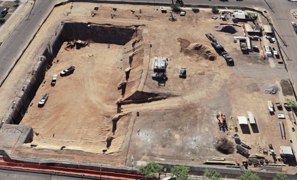
Blount Contracting Saves Processing Time, Easily Creates Machine Surfaces in Arizona
Read time: 5 mins
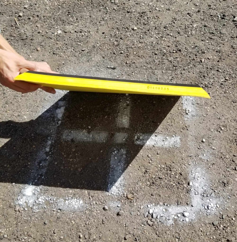
Keep Your Drone Data “Grounded” with Permanent Ground Control Points
Read time: 5 mins
Meet Your Engineering Team: Andrew McDowell
Read time: 4 mins
How Propeller Helps PMs Do Construction Pay Apps Faster
Read time: 3 mins
Meet Your Engineering Team: James Baker
Read time: 5 mins
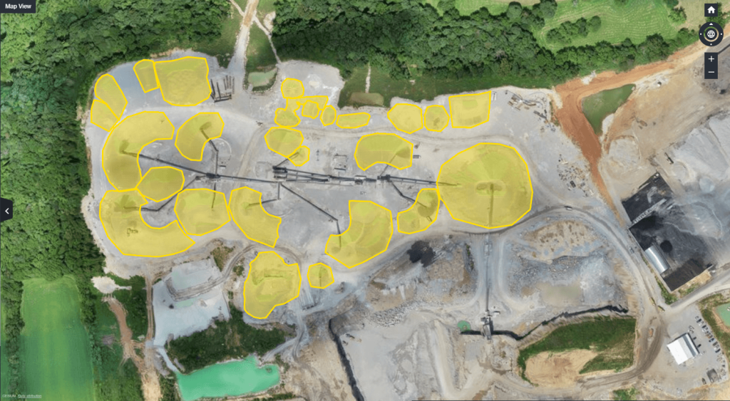
Kentucky-based Haydon Materials Uses Propeller for Quarry End-of-Month and More
Read time: 5 mins
The Pocket Guide to Summer Drone Surveying
Read time: 4 mins
2D or Not 2D? When to Use 2D and 3D in Your Site Modeling
Read time: 4 mins