Resource Center

Real stories, helpful guides, and the latest from the field.

Two translucent topographic surfaces layered slightly out of alignment in cool blue and warm amber
Featured article

Why CAD overlays fail: File formats, site grids, and elevation errors

A technical walk through why design overlays shift and heatmaps turn one color, covering the four conditions every comparison must share, what each civil file format can and cannot tell you, and how to validate alignment before it becomes field instructions or closeout evidence.

DJI M3E hovering
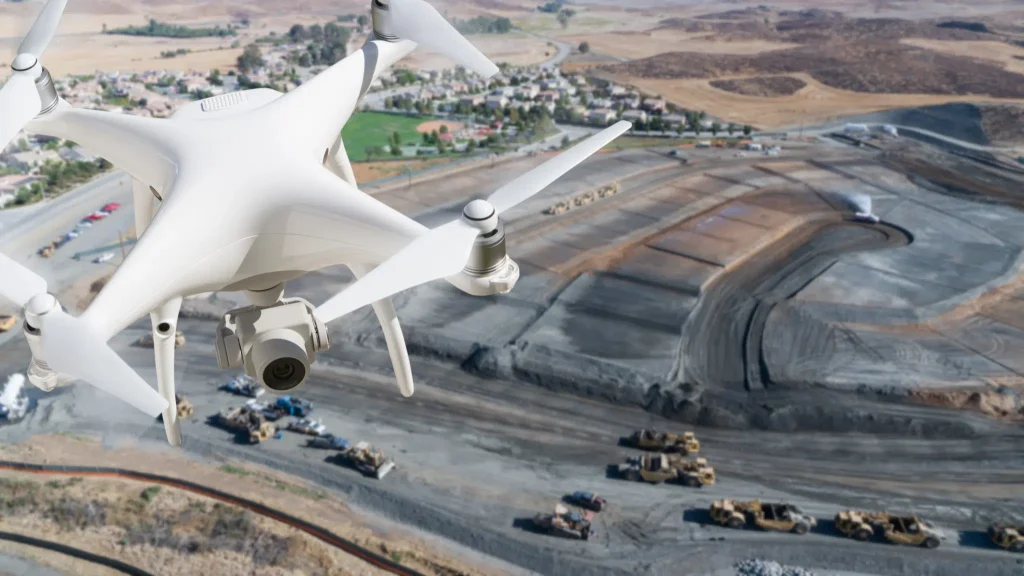
Drones in construction: A beginners guide
Read time: 6 mins
Meet Your Data Success Team: Tim Liu
Read time: 4 mins
Meet Propeller’s VP of Sales: Dave Schoenfeld
Read time: 4 mins
Queensland-based Cheshire Contractors Uses Propeller for Insurance Claims, Faster Surveying
Read time: 6 mins
2019 Construction Industry Trends and Predictions
Read time: 3 mins
Meet Your Data Success Team: Bea Gana
Read time: 3 mins
Meet the Founders: Rory San Miguel
Read time: 6 mins
Meet Your Data Success Team: Brent Dargantes
Read time: 4 mins
10 questions to ask about drone surveying platforms before you buy
Read time: 7 mins
Using Propeller, Drone Surveying for Smarter Pre-bid Topos at Phoenix-based Buesing Corp.
Read time: 5 mins
How AirBorn Insight is Using Drone Survey Data on Large, High-value Solar Farm Developments
Read time: 3 mins
Meet Your Data Success Team: Jonnie Perkins
Read time: 3 mins