Resource Center

Real stories, helpful guides, and the latest from the field.

Two translucent topographic surfaces layered slightly out of alignment in cool blue and warm amber
Featured article

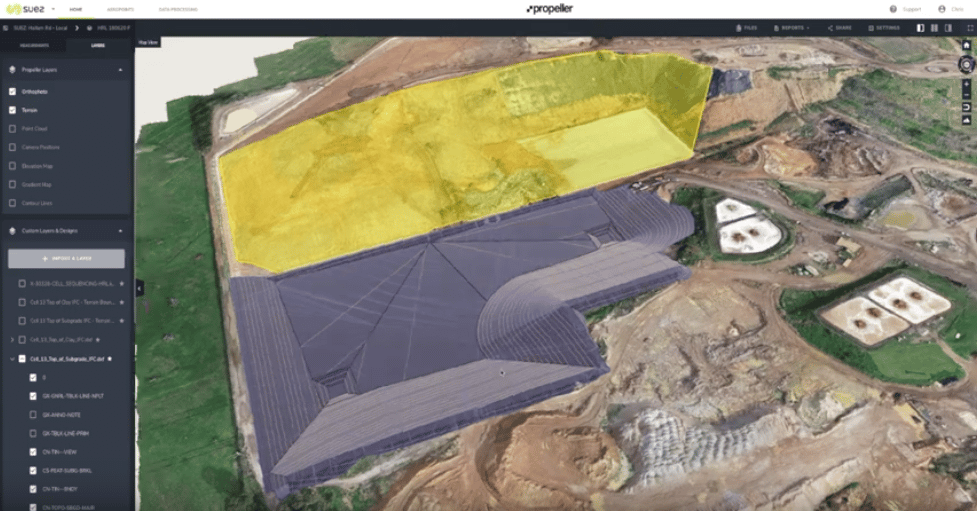
Why CAD overlays fail: File formats, site grids, and elevation errors

A technical walk through why design overlays shift and heatmaps turn one color, covering the four conditions every comparison must share, what each civil file format can and cannot tell you, and how to validate alignment before it becomes field instructions or closeout evidence.

Measuring Cut and Fill in Mining and Aggregates
Read time: 4 mins
How to Set Up Your Camera on GS Pro
Read time: 2 mins
Inside Look: How Propeller’s Data QA Works
Read time: 5 mins
Meet Your Tech Support Team: Taylor Wilson
Read time: 4 mins
Aerial drone survey photo with Exiftool.
How to Batch Geotag Drone Survey Photos with Exiftool
Read time: 3 mins
Part 107 Renewal Q&A: What You Learn After Two Years of Flying
Read time: 4 mins
Meet Your Salesperson: Jan Wouter Kruyt
Read time: 4 mins
Construction Site Report Examples and Our Easy Sharing Workflow
Read time: 3 mins
Turn Your Phantom 4 RTK Drone into PPK with Propeller’s Easy Upgrade
Read time: 2 mins
Meet Your Salesperson: Kevin Smith
Read time: 4 mins
How to Submit GCP and Checkpoint Data in Propeller
Read time: 4 mins
Meet Your Salesperson: Mike Scott
Read time: 4 mins